Lindsay Lake Loop is one of the major backcountry hikes above Buntzen Lake. The route climbs the Halvor Lunden Trail onto Eagle Ridge, passes several viewpoints and small mountain lakes, reaches Lindsay Lake, and then loops through the higher lakes district before returning to Buntzen Lake.
Status: No Known Restrictions
No specific trail access restrictions are currently known. Conditions may change due to weather, maintenance, or other factors. Check current information before heading out.
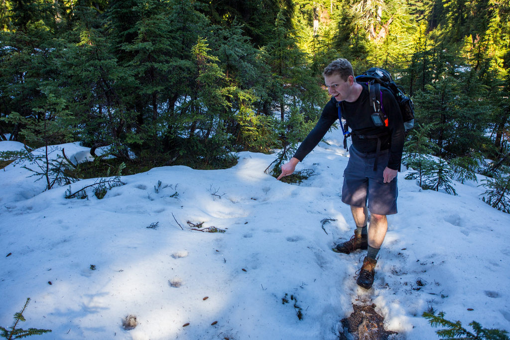
It is a substantial hike with roughly 1,000 m of elevation gain, steep climbing, rugged forest terrain, and a much more remote feel than the trails around the lake. On my February hike, unusually mild conditions meant that only a small amount of hard-packed snow remained near Lindsay Lake.
BC Hydro notes that snow is commonly present on the Lindsay Lake Loop from November through June. My hike had unusually little snow for February. Do not use the conditions shown in these photographs as an indication of typical winter conditions.
Trail Stats
These statistics are based on my original hike and GPS recording.
- Distance: approximately 12.9 km
- My hiking time: approximately 6 hours 50 minutes, including photo stops and breaks
- Low point: approximately 102 m
- High point: approximately 1,120 m
- Net elevation gain: approximately 1,018 m
- Difficulty: Difficult
- Route: Loop on Eagle Ridge with an out-and-back approach from Buntzen Lake
BC Hydro currently lists the Lindsay Lake Loop at approximately 15 km, with about 1,020 m of elevation gain and an estimated hiking time of 6 to 8 hours. My GPS recording was shorter at approximately 12.9 km.
Interesting Facts
- Halvor Lunden Trail: The Halvor Lunden Trail climbs steeply from the Buntzen Lake recreation area onto Eagle Ridge and provides access to the Lindsay Lake, Swan Falls, and Dilly Dally routes.
- Lindsay Lake: Lindsay Lake sits high on Eagle Ridge and is the largest of several small lakes and tarns encountered on the upper loop.
- The Pulpit: The Pulpit is one of the best viewpoints on the route and is reached by a short side trip from the Lindsay Lake Junction. It overlooks Buntzen Lake and the surrounding mountains.
- Lakes district: The upper loop passes several small mountain lakes and tarns, including Siskin Lake and Chickadee Lake.
- Buntzen Creek: The headwaters of Buntzen Creek are found high on Eagle Ridge near El Paso Junction before the creek descends toward Buntzen Lake.
- Biogeoclimatic zones: The route begins in the Coastal Western Hemlock biogeoclimatic zone and climbs into the cooler Mountain Hemlock zone at higher elevations. The change in elevation explains why snow can persist around Lindsay Lake long after it has disappeared at Buntzen Lake.
- Winter snow: BC Hydro advises that snow is normally present on this route from November through June, making winter and spring travel considerably more demanding.
The Route
The interactive map below shows my GPS route from Buntzen Lake up the Halvor Lunden Trail, around the Lindsay Lake Loop, and back down the same main approach trail.
Use the layer control in the upper-right corner to switch between the regular map and satellite imagery.
Climbing the Halvor Lunden Trail
The hike begins near the southeast corner of the South Beach parking area and climbs immediately on the Halvor Lunden Trail. This is the main approach to Eagle Ridge and accounts for most of the elevation gain.
The climb is sustained and steep in places, with the forest gradually changing as elevation increases. By the time you reach El Paso Junction, you have already completed a substantial portion of the day’s climbing.
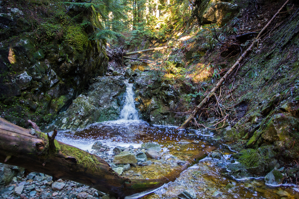
Buntzen Creek Headwaters
Near El Paso Junction, the route crosses the upper drainage of Buntzen Creek at roughly 800 m elevation. This quiet forested area feels very different from the recreation area around the lake far below.
The Pulpit Viewpoint
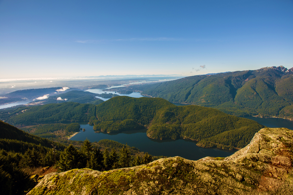
One of the best side trips on the route is The Pulpit, a viewpoint reached from near Lindsay Lake Junction. Allow roughly 20 minutes each way, depending on conditions and pace.
The viewpoint sits high above Buntzen Lake and provides an excellent reward after the long climb.
The Lakes District
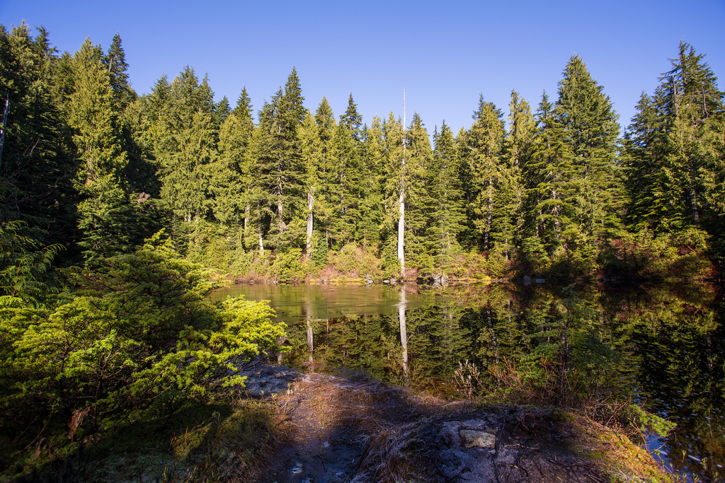
The upper part of the loop passes through a collection of small mountain lakes and tarns. This section is quieter and flatter than the main climb, although muddy trail conditions are common.
Siskin Lake and Chickadee Lake are two of the small lakes encountered along the route.
Lindsay Lake
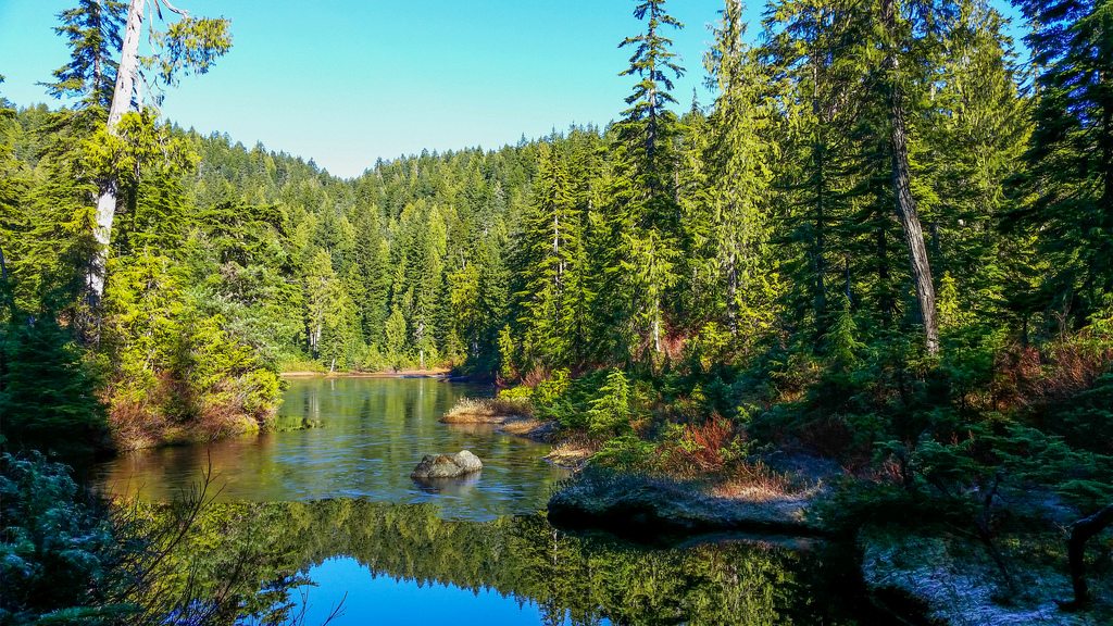
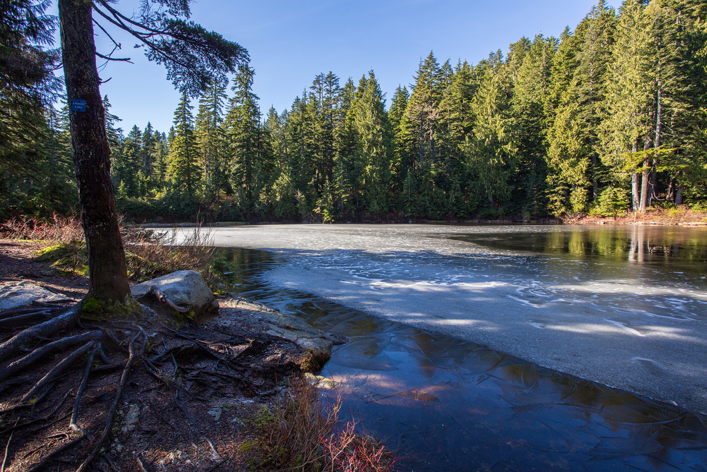
Lindsay Lake is the main destination and namesake of the loop. It sits at roughly 1,000 m elevation in a forested basin high on Eagle Ridge.
During my February hike, only about 8 to 10 cm of hard-packed snow remained around the lake. A thin layer of ice and frost covered part of the lake surface.
Trail Conditions
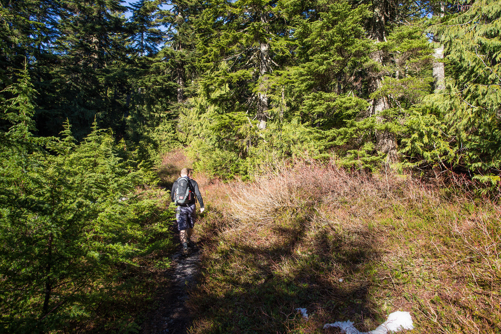
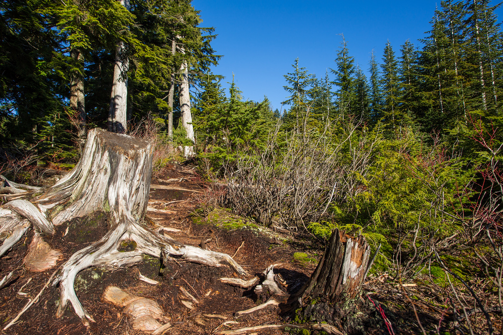
Conditions on my hike were unusually mild for February. Temperatures ranged from roughly 6°C to 11°C, with very little snow and numerous muddy sections.
In a more typical winter, considerably deeper snow may cover the upper trail. Snowshoes, traction equipment, or other winter gear may be required depending on current conditions.
What to Bring
Lindsay Lake is a long backcountry hike with more than 1,000 m of elevation gain, so I recommend carrying the full Ten Essentials.
Bring reliable navigation, a headlamp, first-aid supplies, sufficient water, extra food, emergency shelter, and additional clothing. Download an offline map before starting and carry backup power.
In winter and spring, check snow conditions carefully and carry traction or flotation appropriate to the conditions. Do not assume that a mild day at Buntzen Lake means snow-free conditions on Eagle Ridge.
Leave your route and expected return time with someone you trust, and pay attention to Buntzen Lake gate closing times when planning a long hike.
Leave No Trace
Please follow Leave No Trace principles throughout the hike. Stay on established trails, pack out everything you bring in, avoid damaging vegetation, and keep wildlife at a distance.
The wetlands and lake margins in the upper lakes district are particularly sensitive. Avoid walking around muddy trail sections in ways that widen the trail or damage shoreline vegetation.
Before You Go
Check current BC Hydro Buntzen Lake trail information before starting. BC Hydro currently describes Lindsay Lake Loop as a difficult route for experienced and fit hikers and notes that snow is commonly present from November through June.
Also confirm current gate hours, parking requirements, weather, available daylight, and snow conditions before heading onto Eagle Ridge.