All posts by admin

Fishing at Buntzen Lake

Buntzen Lake offers year-round freshwater fishing for several species, including stocked rainbow trout, resident cutthroat trout, kokanee, and northern pikeminnow. Rainbow trout are regularly stocked by the Freshwater Fisheries Society of BC, making Buntzen one of the more accessible stocked lakes in the Metro Vancouver area.

Spring and fall are generally the best times to target stocked rainbow trout, particularly around stocking periods. Fishing can still be productive during the summer, although trout often move into deeper, cooler water. Northern pikeminnow are commonly encountered during the warmer months, and kokanee are also present in the lake.

Fish Stocking at Buntzen Lake

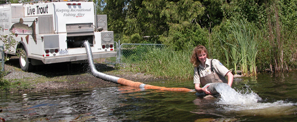
The Freshwater Fisheries Society of BC regularly stocks Buntzen Lake with catchable-sized rainbow trout. Stocking numbers and dates vary from year to year.

In spring 2026, Buntzen Lake received 6,000 Fraser Valley-strain triploid rainbow trout in three releases:

  • 12 March 2026: 2,700 fish, averaging approximately 237 g
  • 31 March 2026: 300 fish, averaging approximately 249 g
  • 21 April 2026: 3,000 fish, averaging approximately 212 g

You can check the current Buntzen Lake fish stocking report for the latest releases.

Historical Buntzen Lake fish stocking report

Stocking Fish.


Fishing at Buntzen Lake

Fishing at Buntzen Lake.

Fishing Licence and Regulations

Anyone aged 16 or older generally needs a valid B.C. freshwater fishing licence to fish at Buntzen Lake. B.C. residents under 16 may fish without a licence. Different conditions apply to non-resident anglers under 16.

Freshwater fishing licences are now administered through the Province of B.C.’s WILD system. Licence options and current requirements are available on the B.C. freshwater fishing licence page.

Buntzen Lake is within Region 2 – Lower Mainland. Under the current 2025-2027 regional regulations:

  • The daily trout/char quota is 4, with no more than one over 50 cm.
  • No more than one char may be retained, and retained char must be at least 60 cm.
  • The daily kokanee quota is 5.
  • The possession limit is generally twice the daily quota.

Buntzen Lake is not listed with separate water-specific fishing restrictions in the current Region 2 table, so the general provincial and Region 2 rules apply. Regulations can change, including through in-season amendments, so anglers should always check the current B.C. freshwater fishing regulations before heading out.

Fishing from Shore

Fishing is possible from several accessible shoreline areas around Buntzen Lake. The lake becomes deep fairly quickly in many locations, so shore anglers may have better access to trout during cooler periods when fish are closer to the surface and shoreline.
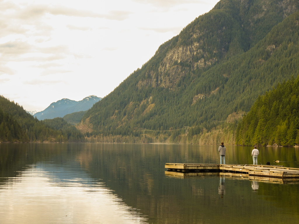

Fishing from a pier at Buntzen Lake

Fishing from a pier at Buntzen Lake.

Fishing from a Boat

A boat provides access to deeper areas of Buntzen Lake and can be particularly useful when trout and kokanee are holding away from shore. Trolling is a common way to cover the lake.

BC Hydro permits canoes, kayaks, other small watercraft, and boats using small battery-powered electric motors. Gas-powered boats are not permitted. A boat launch is located near South Beach.
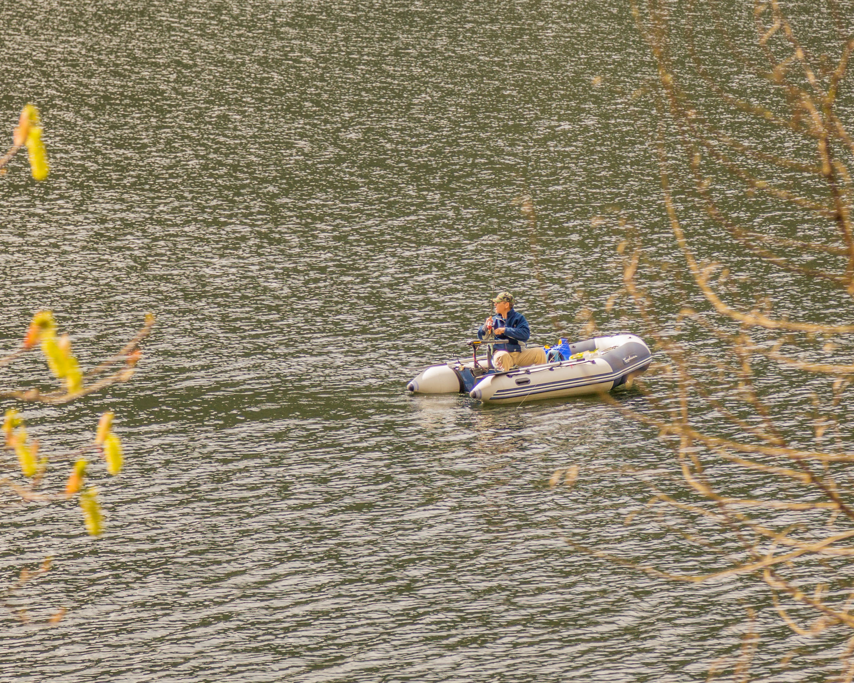

Fishing from a boat at Buntzen Lake

Fishing from a boat at Buntzen Lake.

Boating safety at Buntzen Lake
BC Hydro requires an approved personal flotation device for each person aboard a boat or canoe, including inflatables, as well as a sound-signalling device such as a whistle. Stay clear of BC Hydro operating areas, dams, intakes, and other restricted areas because water flows and currents can change without warning. Boaters should be back on shore at least 30 minutes before the recreation area closes.

Before You Go Fishing

Buntzen Lake can become extremely busy during warm weather. If you are driving, check the current Buntzen Lake parking information before leaving home. Boat-trailer parking is limited, and a parking reservation does not guarantee a trailer space.

Fishing conditions vary with season, weather, water temperature, reservoir level, and recent stocking. Before fishing, check the latest stocking information, current fishing regulations, and any BC Hydro access or safety notices.

For current recreation-area information, including gate hours, boating restrictions, and temporary notices, visit the BC Hydro Buntzen Lake page.
Upper Shannon Falls

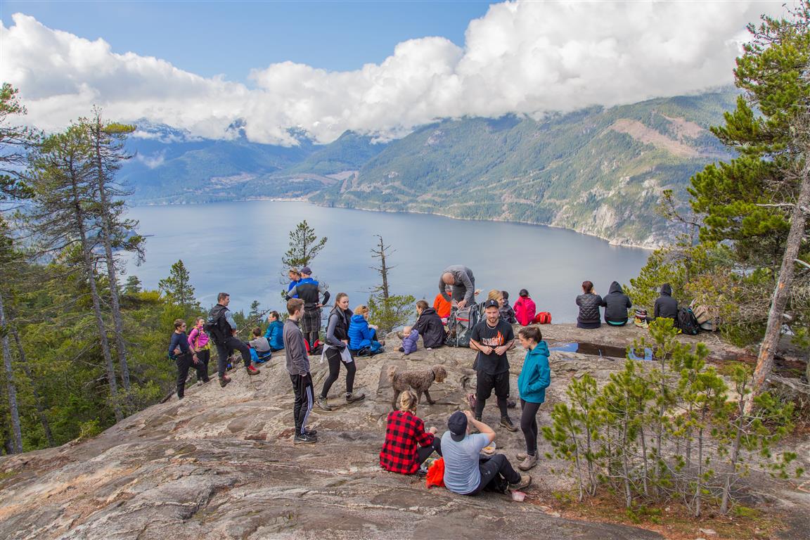
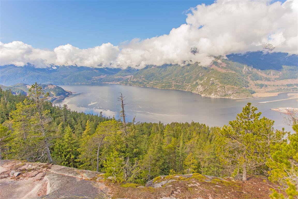
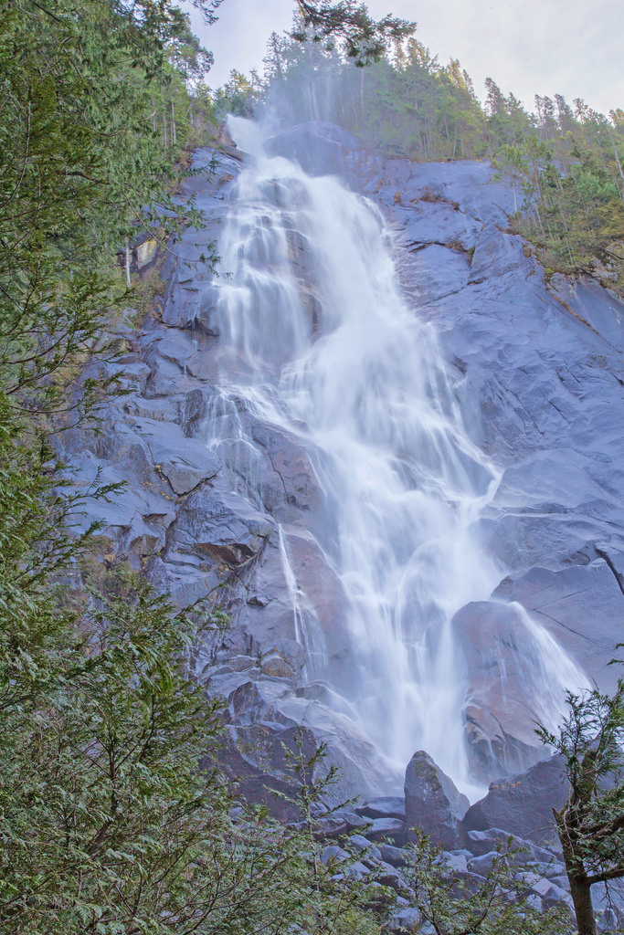
Upper Shannon Falls is a steep but rewarding hike near Squamish that climbs from Shannon Falls Park to the upper falls and a broad rocky bluff with excellent views over Howe Sound, Squamish, the Squamish River Estuary, and the Stawamus Chief. We did this hike in March 2016, starting from the Shannon Falls parking lot.

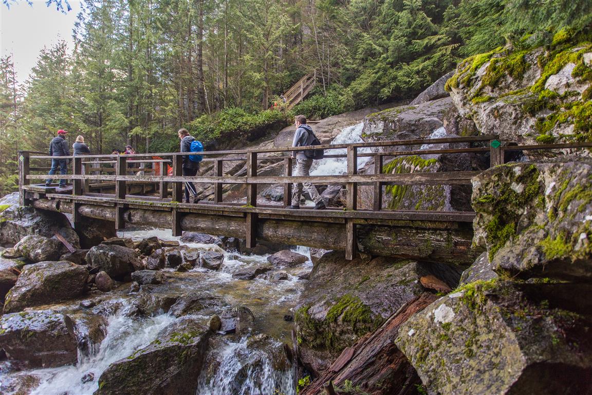
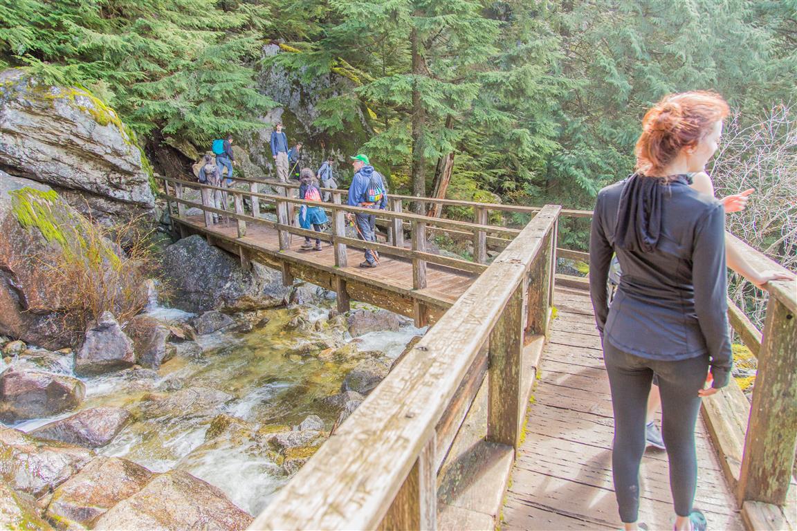
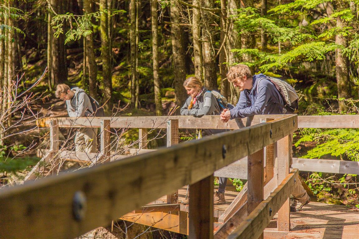
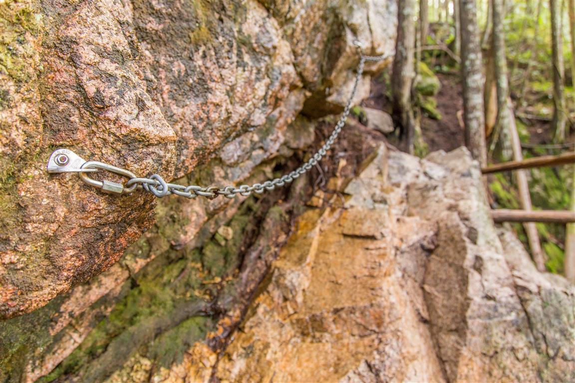
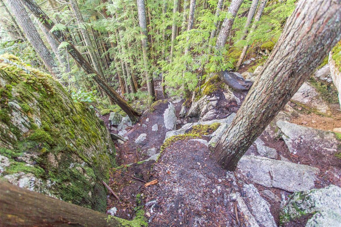
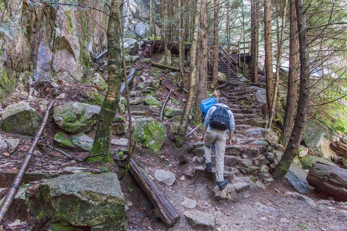
The route initially follows the trail network connecting Shannon Falls with the Stawamus Chief before branching onto the Upper Shannon Falls route. The lower sections pass through coastal forest and cross several bridges, including bridges over Olesen Creek. Higher up, the trail becomes considerably steeper, with rock, cobbled steps, and fixed ropes or chains in a few places.

There are several viewpoints along the way, including a close look at the upper portion of Shannon Falls. Near the end of the hike, the trail reaches a large rocky bluff with expansive views. We took plenty of breaks on this hike and spent some time enjoying the viewpoints, so our total time was about 5.5 hours.

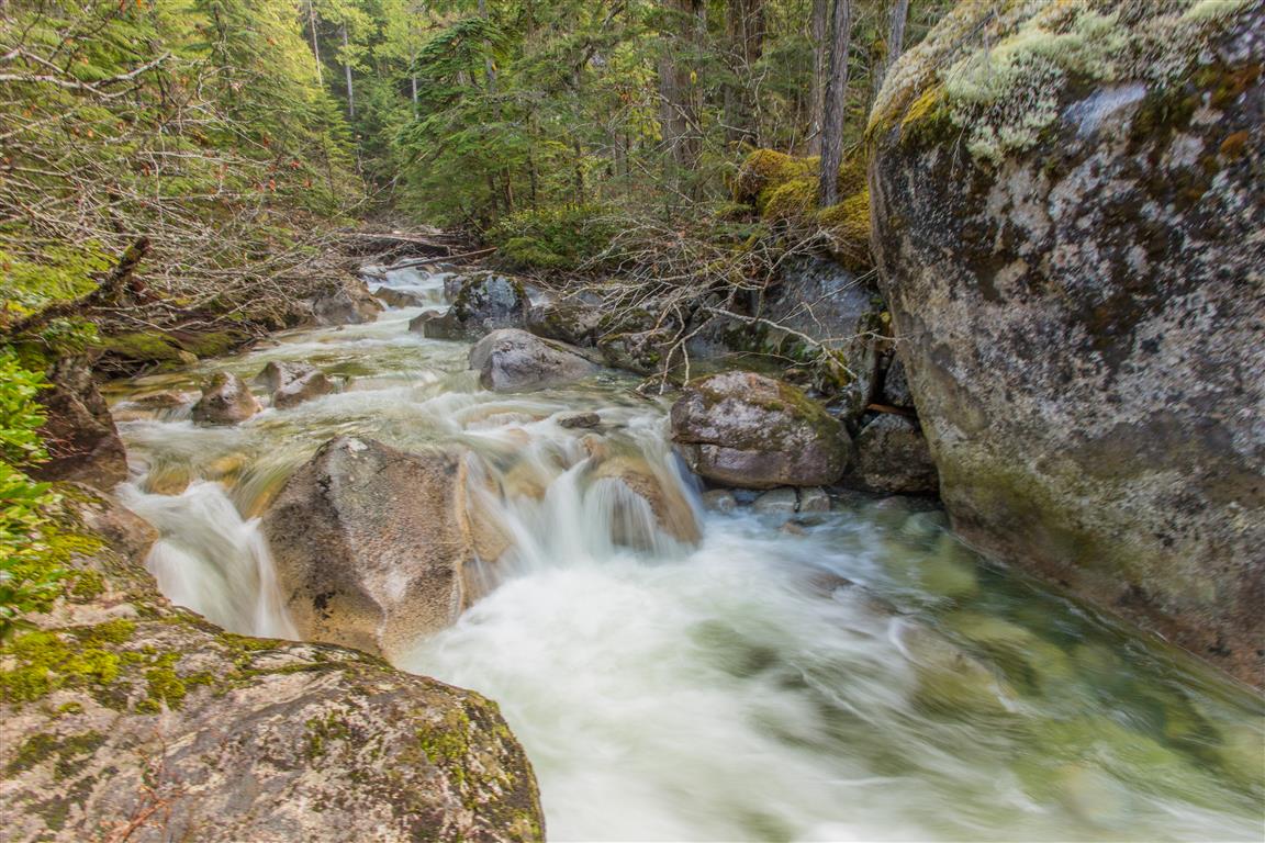
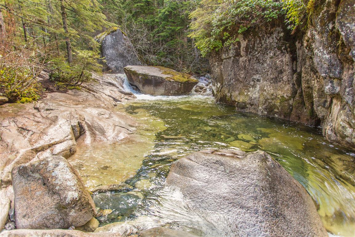
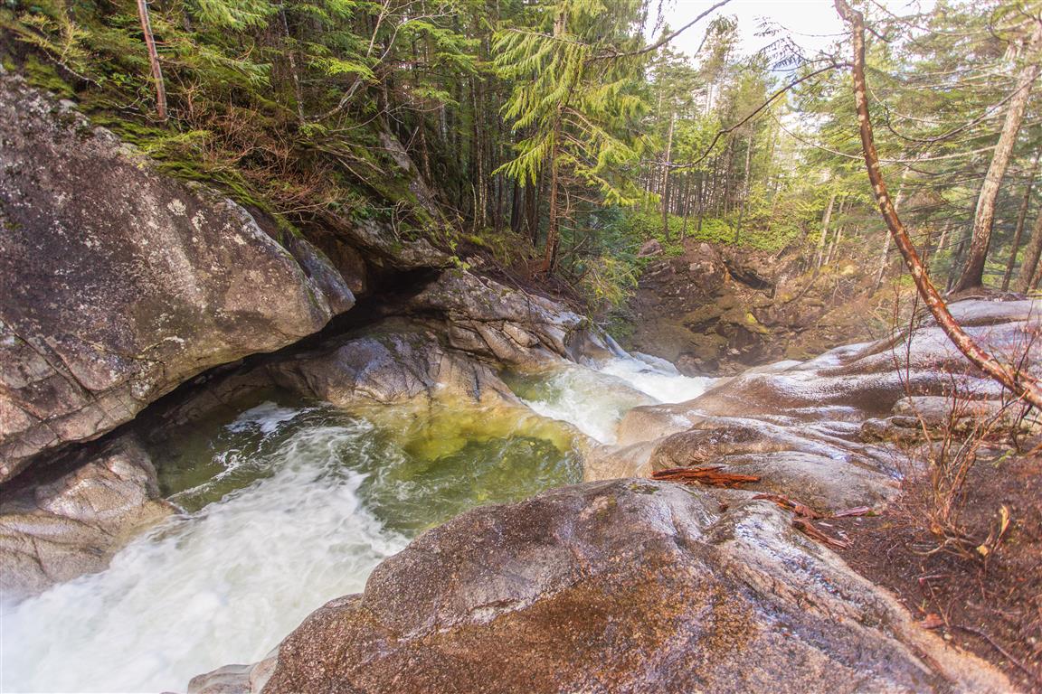
One section of the route passes close to Shannon Creek and some attractive pools near the upper falls. The water may look inviting, particularly during warmer weather, but BC Parks warns visitors not to wade in the creek or climb onto wet rocks. Water levels can change quickly, and the rocks and creek edges can be extremely slippery.

Interesting Facts

  • Shannon Falls is 335 m high, making it the third highest waterfall in British Columbia, behind Della Falls in Strathcona Provincial Park and Hunlen Falls in Tweedsmuir Provincial Park. The water flowing over Shannon Falls originates from the Mount Habrich and Sky Pilot Mountain area.
  • The Squamish name for Shannon Falls is Kwékwetxwm. BC Geographical Names describes the name as referring to the deep rumbling sound of the cascading water. The area has long been important to the Squamish people for resource gathering and has significant cultural and spiritual associations.
  • This hike is within the Coastal Western Hemlock (CWH) biogeoclimatic zone. The Stawamus Chief area is within the dry maritime portion of the CWH zone. Typical trees include western hemlock, Douglas-fir, and western red cedar. The route remains below about 500 m elevation, well below the higher-elevation Mountain Hemlock zone.
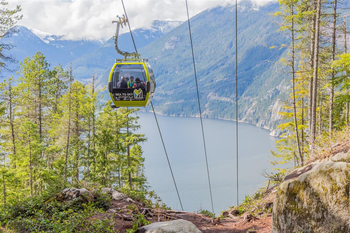
  • The Upper Shannon Falls route is now incorporated into the Sea to Summit Trail. Hikers can continue beyond the Upper Shannon Falls area and climb all the way to the Sea to Sky Gondola summit.
  • The history of Shannon Falls Park has an unusual connection to beer. Carling O’Keefe Brewery purchased the property in 1976 and used the mountain water for brewing. The company donated the land to BC Parks in 1982.

Trail Stats

  • Distance: 7.4 km (return)
  • Time: 5.5 hours (lots of breaks)
  • Low point: 3 m
  • High point: 485 m
  • Elevation gain: 482 m
  • Cumulative elevation gain: 820 m
  • Trailhead: 49° 40′ 18.6″ N, 123° 09′ 35.2″ W (Google Map)

The Route

The actual GPS track from this hike is drawn on the map below. The GPX file records the ascent to the Upper Shannon Falls viewpoint; the return follows the same route. Green marks the trailhead, and red marks the turnaround point. Use the layer control in the top right to switch to a satellite view.

Photos

View from the Upper Shannon Falls viewpoint
View from the top
Shannon Falls
Shannon Falls from below
Bridge over Olesen Creek
Squamish River Estuary
Bridge on the Upper Shannon Falls trail
Another bridge along the trail
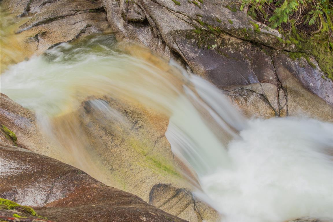
Cascading water
Cascading water
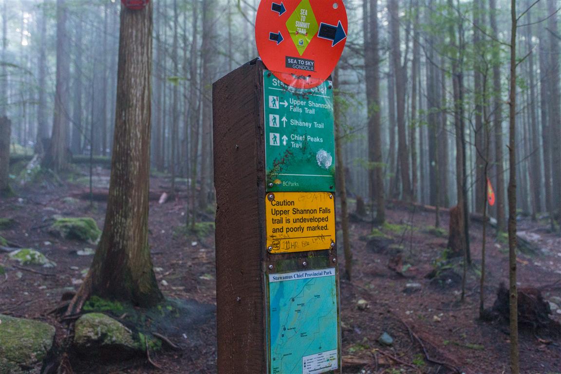
Trail junction
Trail junction
Hikers at the Upper Shannon Falls viewpoint
The large rocky bluff at the top
Olesen Creek
Olesen Creek
Olesen Creek
Olesen Creek
Sea to Sky Gondola
Sea to Sky Gondola
Pool along Shannon Creek
Bridge on the trail
Another bridge
Fixed rope on the Upper Shannon Falls trail
Fixed rope for assistance
Steep section of the trail
Steep section
Stawamus Chief overlooking Squamish
The Stawamus Chief overlooking Squamish
Upper Shannon Falls trail
Trail through the forest
Upper Shannon Falls
Upper Shannon Falls

You can also view my full Flickr photo album from this hike.

Conditions on this trail can change over time. Trailheads move, access rules shift, and facilities and trail conditions change. This post reflects what I found when I did the hike.

Before You Hike

Before heading out on your hike, make sure you are well prepared. This means having the TEN ESSENTIALS. It is also important to leave a trip plan (route details and estimated return time) with someone you trust.

Bring your smartphone, fully charged, and put it in airplane mode while hiking. I always bring backup battery packs for extra peace of mind. It is highly recommended that you bring a GPS device. I use my smartphone with a GPS app (Backcountry Navigator). The GPS will work in airplane mode. Learn how to use it before your hike.

For anyone new to hiking, there is a rule that hikers follow called “Leave No Trace” or LNT. The concept is generally to pack out what you pack in and respect nature, so all future visitors can enjoy what you have enjoyed. To learn more about LNT, please check out this blog by a certified LNT Trainer.

Industrial Relics Around Buntzen Lake

Buntzen Lake is best known today for hiking, swimming, and recreation, but the landscape also contains reminders of more than a century of hydroelectric and industrial activity.

The Buntzen hydroelectric system began operating in 1904. Water was diverted from Coquitlam Reservoir through a tunnel beneath Eagle Mountain into Buntzen Lake, then carried through penstocks down to generating stations on Indian Arm. Over the years, the area also included dams, pipelines, pumphouses, transmission lines, and other infrastructure.

During my hikes around Buntzen Lake, I have come across quite a few remnants of that industrial history. Some are easy to identify, while others are more mysterious. I think of them collectively as the industrial relics of Buntzen Lake.

Old Electrical Insulators

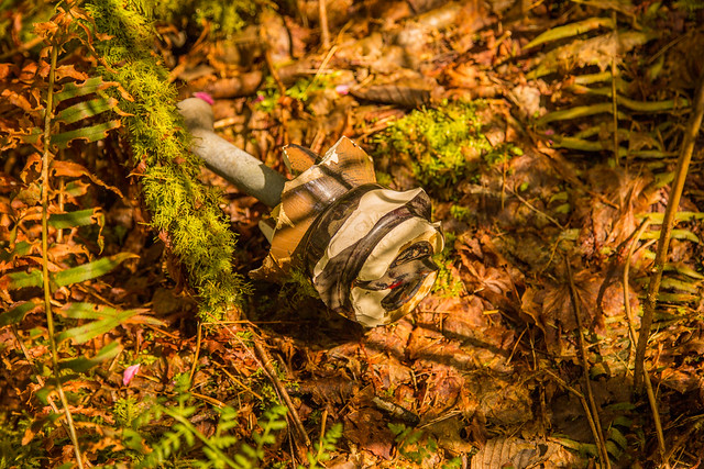
Some of the smaller remnants around Buntzen Lake come from the area’s former electrical transmission infrastructure. One example is this discarded and broken ceramic insulator I found beside Pumphouse Road. Insulators like these were used to electrically isolate overhead conductors from the poles and structures supporting them.


Discarded ceramic electrical insulator near Pumphouse Road at Buntzen Lake

A broken ceramic electrical insulator near Pumphouse Road.

I also found this striking piece of an old glass electrical insulator. Its green-blue glass and heavy moulded construction are typical of insulators once used on overhead electrical lines.


Old green glass electrical insulator found near Buntzen Lake

A fragment of an old green glass electrical insulator found in the Buntzen Lake area.

The Old Buntzen Lake Pipeline

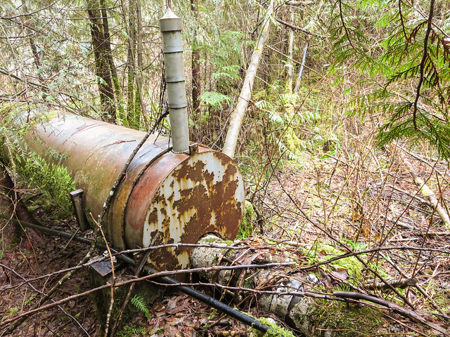
Another interesting piece of infrastructure can be seen near the pumphouse. An older water pipeline emerges from a much larger metal cylinder approximately 25 m long.

I originally wondered whether the large cylinder was some type of backflow-prevention structure. I have not found documentation confirming its exact purpose, so it is probably safer simply to describe it as part of the old pipeline infrastructure.


Old pipeline emerging from a large metal cylinder near the Buntzen Lake pumphouse

The old pipeline emerging from a much larger cylindrical section near the pumphouse.

Below is a closer view of one of the fittings on top of the larger cylinder.


Detail of old Buntzen Lake pipeline infrastructure

A detail view of the old pipeline infrastructure.

This pipeline was associated with the freshwater supply system serving the Burrard Thermal Generating Station in Port Moody. Burrard was built in 1960 and used Buntzen Lake water for several plant purposes. Although electricity generation at Burrard ended in 2016, some infrastructure associated with its freshwater supply system has remained.

Artifacts at North Beach

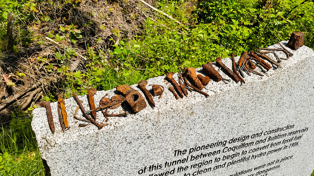
In May 2014, I came across a collection of small metal objects that someone had apparently found around the North Beach area and arranged for display on the memorial there.

I do not know who collected them or exactly what each object was used for, but seeing them together was a reminder of just how much industrial activity has taken place around Buntzen Lake over the past century.


Old metal artifacts found near North Beach at Buntzen Lake

A collection of old metal objects displayed near North Beach in 2014.

An Industrial Drum in the Forest

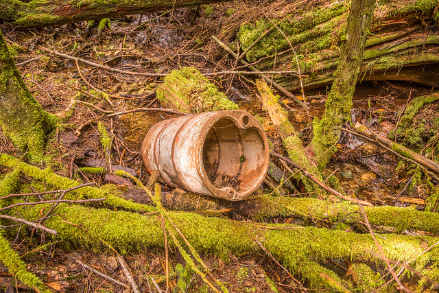
While following a rough shortcut between the Diez Vistas and Lakeview trails along a creek, I unexpectedly came across this old metal drum in the forest.

I do not know its age or original use, but it is another example of the industrial remnants that occasionally appear well away from the main recreation areas.


Old industrial metal drum in the forest near Buntzen Lake

An old metal drum encountered in the forest between the Diez Vistas and Lakeview trails.

Old Metalwork Near the Dam

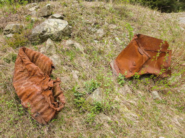
Close to the dam, I found these heavy pieces of old metalwork. Their exact original purpose is uncertain, although they may have been associated with the historic hydroelectric infrastructure in the area.


Historic metalwork near the Buntzen Lake dam

Old metalwork near the Buntzen Lake dam.

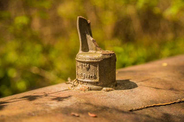
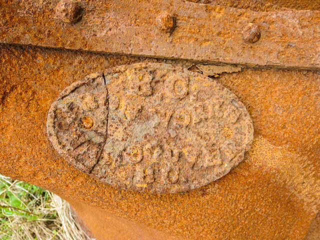
The most interesting feature is the manufacturer’s plate, which reads:

BC IRON WORKS
VANCOUVER, BC


BC Iron Works Vancouver manufacturer plate on historic metalwork at Buntzen Lake

The manufacturer’s plate reads “BC Iron Works Vancouver, BC.”

BC Iron Works was one of Vancouver’s early industrial manufacturers and operated in what is now the Railtown area near Gore Avenue and Alexander Street. I have not found documentation confirming when this particular piece of equipment was manufactured or exactly where it was originally installed, but the plate provides an interesting connection between Buntzen Lake and Vancouver’s early industrial history.

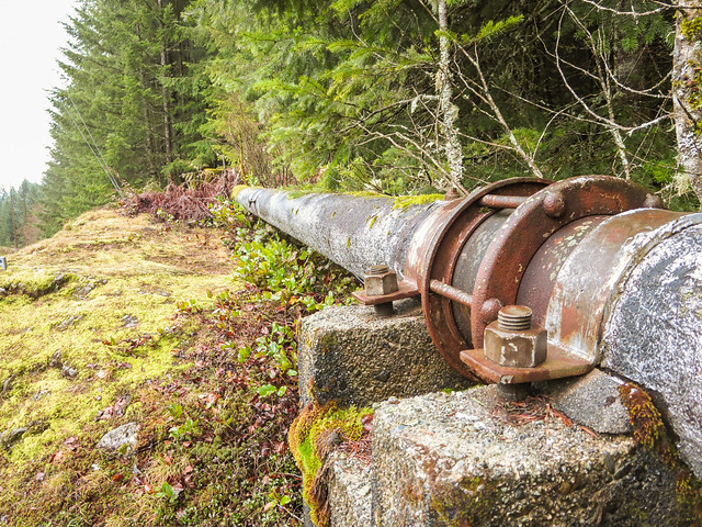
More of the Old Water Pipeline

Sections of the former above-ground water pipeline can still be found in the Buntzen Lake area. The line was associated with supplying freshwater from Buntzen Lake toward the Burrard Thermal Generating Station.


Old Buntzen Lake water pipeline

A surviving section of the old Buntzen Lake water pipeline.

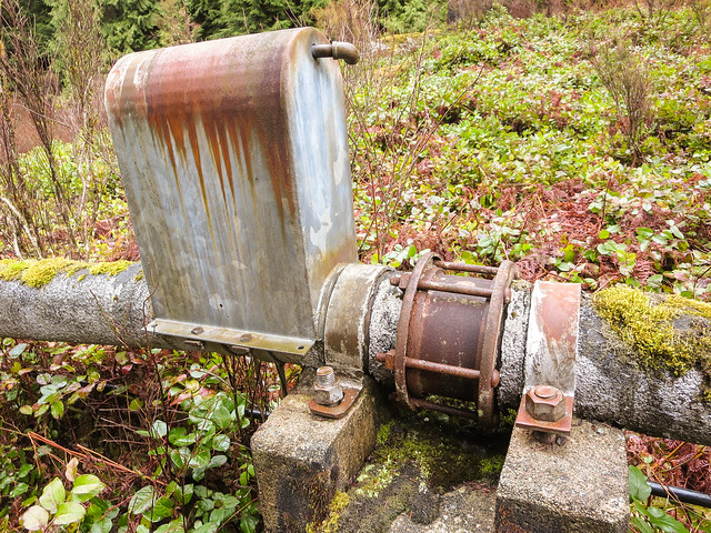
And here is one of the more unusual fittings or assemblies attached to a section of the old pipeline.


Old fitting on the Buntzen Lake water pipeline

An unidentified fitting on the old pipeline.

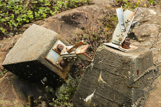
Old Transmission-Line Foundations

The early hydroelectric system also required transmission infrastructure to carry electricity away from Buntzen. Remnants of former transmission-line structures can still be found around the trails.

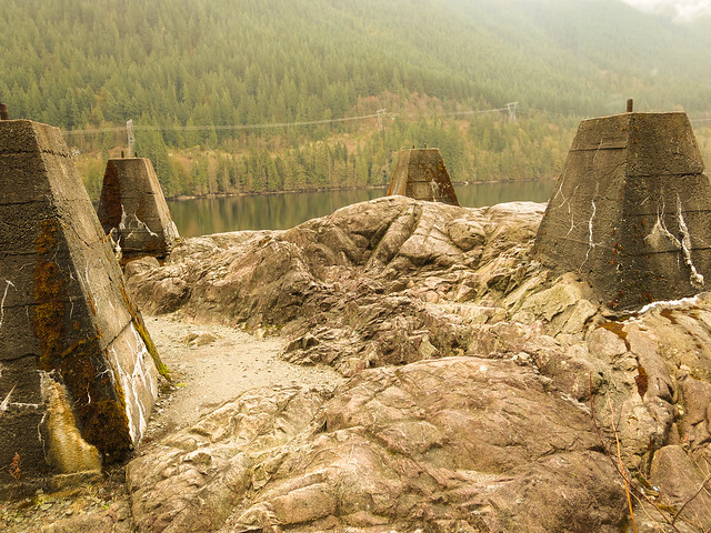
Below are several old concrete pole foundations that are no longer in use.


Old concrete hydro pole foundations near Buntzen Lake

Old concrete foundations from former electrical infrastructure.

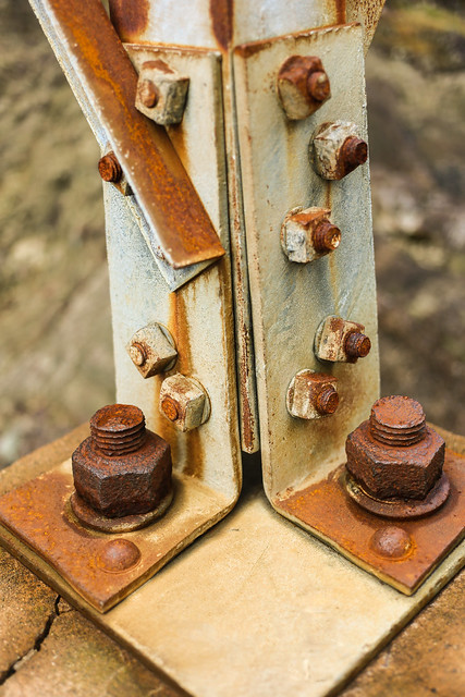
A closer look shows the heavily rusted mounting bolts still embedded in the concrete.


Rusty mounting bolts in an old hydro pole foundation at Buntzen Lake

Rusting mounting bolts remain in one of the old concrete foundations.

Another group of redundant pole foundations can be seen below.


Redundant hydro pole foundations at Buntzen Lake

More remnants of former transmission infrastructure.

An Old Wooden Hydro Pole

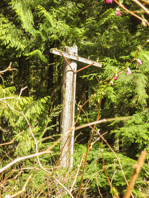
On the Old Buntzen Lake Trail, I also came across this weathered wooden hydro pole. Old poles and foundations like these are easy to walk past without noticing, but they are physical reminders of the infrastructure that once surrounded the lake.


Old wooden hydro pole on the Old Buntzen Lake Trail

An old wooden hydro pole along the Old Buntzen Lake Trail.

More Than a Recreation Lake

These remnants make Buntzen Lake particularly interesting to explore. The forest has reclaimed much of the landscape, but pieces of the old hydroelectric and industrial infrastructure still appear beside roads, trails, and in unexpected places.

The hydroelectric system itself is far from abandoned. Buntzen No. 1 remains part of BC Hydro’s generating system, and the Coquitlam-Buntzen diversion tunnel continues to move water from Coquitlam Reservoir into Buntzen Lake.

For more about how the hydroelectric system developed, see my Buntzen Lake history page. BC Hydro also provides current information about the history and operation of Buntzen Lake.
Westwood Plateau Hiking

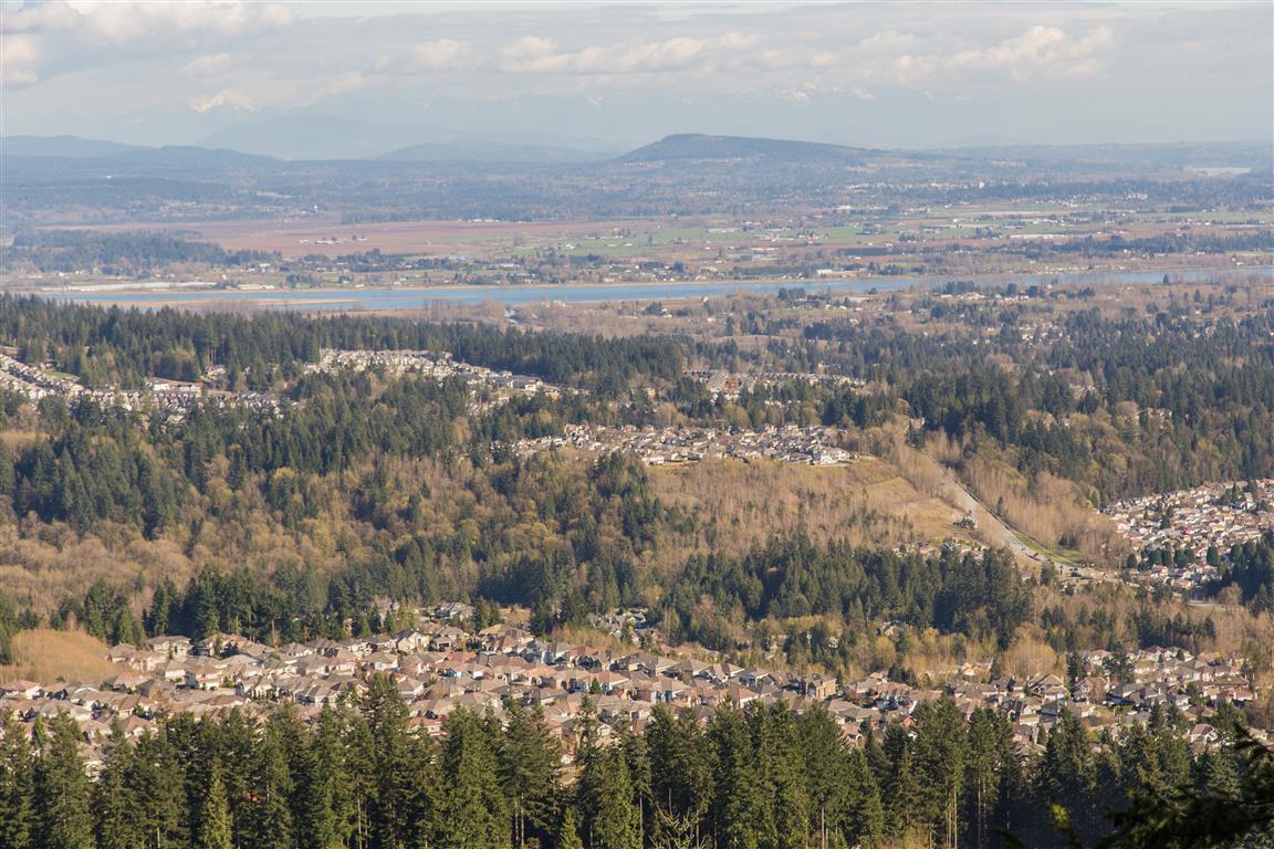
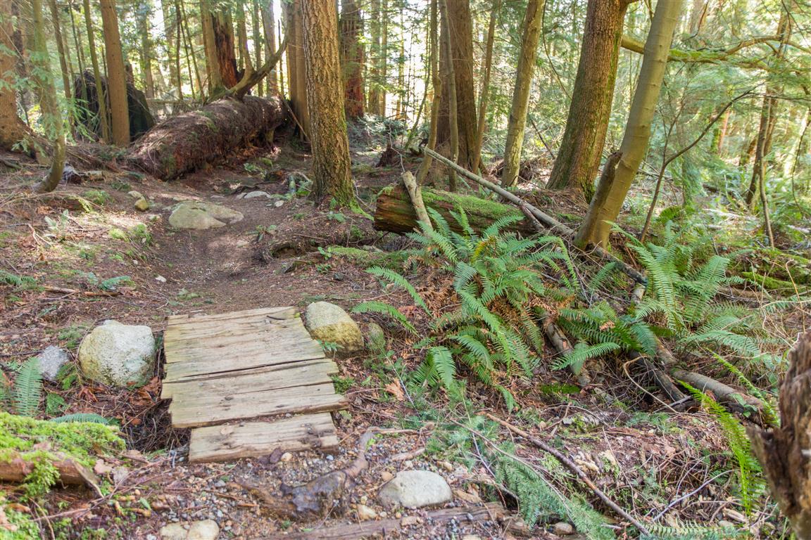
There are some great little hiking trails throughout Westwood Plateau in northeast Coquitlam, and this is one of the routes I do regularly. It combines neighbourhood streets, forest trails, mountain biking trails, gravel roads, and several parks into a loop of about 10 km.
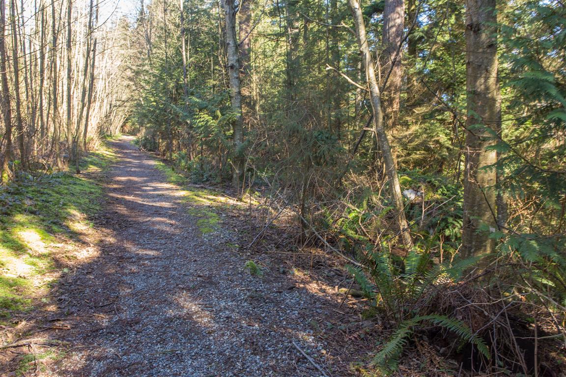
I start at Bramble Park and head down towards David Avenue. From there, I walk west along David Avenue to a trail just west of Forest Park Way that climbs alongside West Noons Creek. At the top of the residential area, there are several different options. On this route, I headed down Hickory Drive before starting uphill again near the reservoir at the end of the road.

From the reservoir, the route climbs through a network of mountain biking and forest trails to the large cell tower higher on the slope. I then connect with a gravel road and head southeast towards Eagle Mountain Drive and Eagle Mountain Park.

After passing through Eagle Mountain Park, I head towards the Westwood Plateau Golf Course and eventually reach Parkway Boulevard. The trail continues on the other side of the road through another network of forest trails before descending towards Panorama Drive and returning to Bramble Park. There are many trail junctions throughout this area, and I often end up taking a slightly different route each time.

Interesting Facts

  • Westwood Plateau has an extensive trail network running through city parks, natural areas, and greenways. The City of Coquitlam’s trail guide identifies approximately 23 km of trails within the Westwood Plateau area alone.
  • This route is within the Coastal Western Hemlock dry maritime biogeoclimatic subzone (CWHdm). Typical forests in this part of Coquitlam include western hemlock, western red cedar, and Douglas-fir, along with species such as bigleaf maple, vine maple, sword fern, and red huckleberry.
  • Bramble Park is also one of the upper access points for the Coquitlam Crunch. The Crunch now extends approximately 2.9 km from its lower trailhead to the top of Westwood Plateau and gains about 261 m of elevation.
  • Eagle Mountain Park is one of Coquitlam’s higher-elevation municipal parks. Beyond the developed neighbourhood are much larger networks of forest and mountain biking trails extending farther onto Eagle Mountain.

Trail Stats

  • Distance: 10 km (loop)
  • Time: 2 hours
  • Low point: 177 m
  • High point: 459 m
  • Elevation gain: 282 m
  • Cumulative elevation gain: 518 m
  • Trailhead: Bramble Park, 2775 Panorama Drive, Coquitlam (Google Map)

The City of Coquitlam also has a useful trail maps and guide showing many of the trails and parks throughout Westwood Plateau.

The Route

The actual GPS track from this walk is drawn on the map below. Green marks the start/end point at Bramble Park. There are many trail junctions in the upper sections, so this map shows the particular route I followed on this outing. Use the layer control in the top right to switch to a satellite view.

Photos

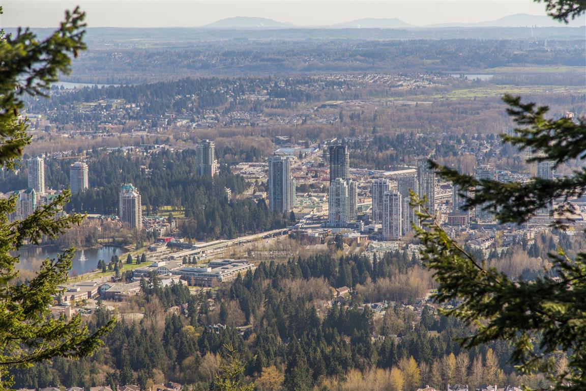
View south towards Lafarge Lake
Looking south towards Lafarge Lake
View east towards the Pitt River
Looking east towards the Pitt River
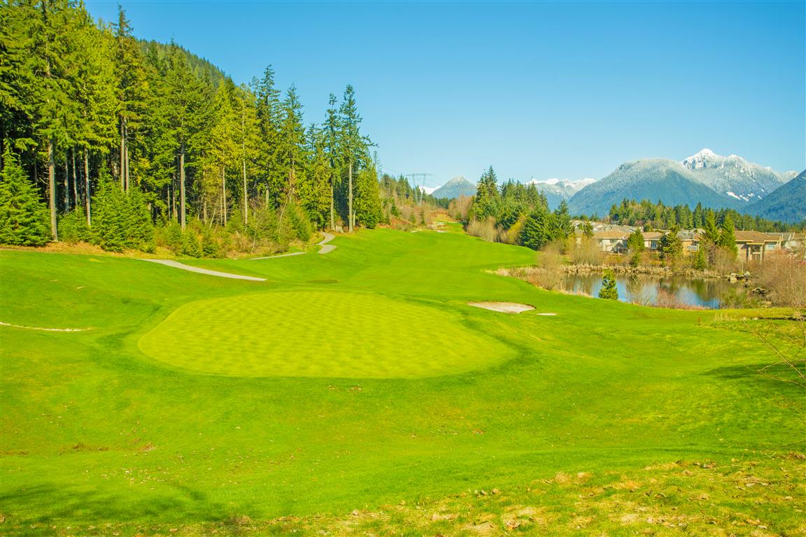
Westwood Plateau Golf Course
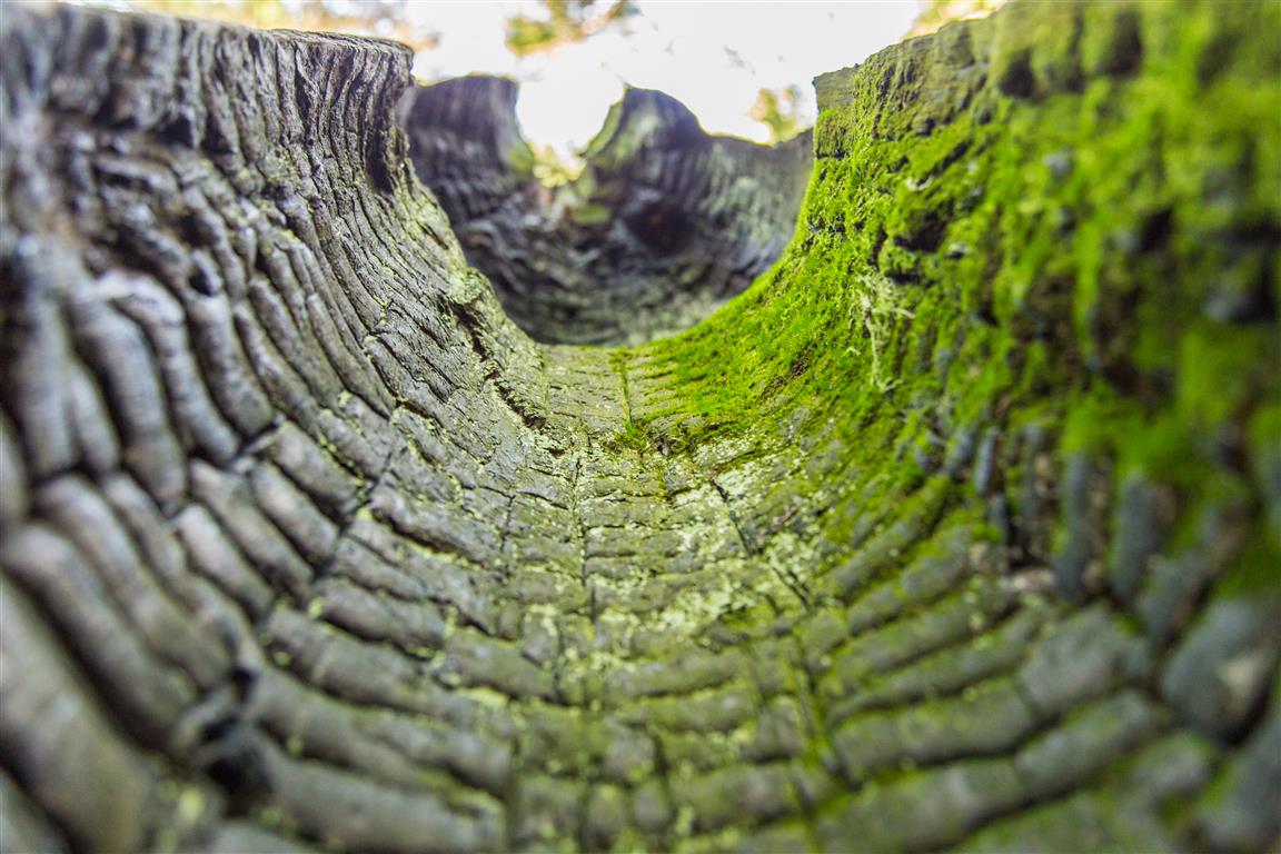
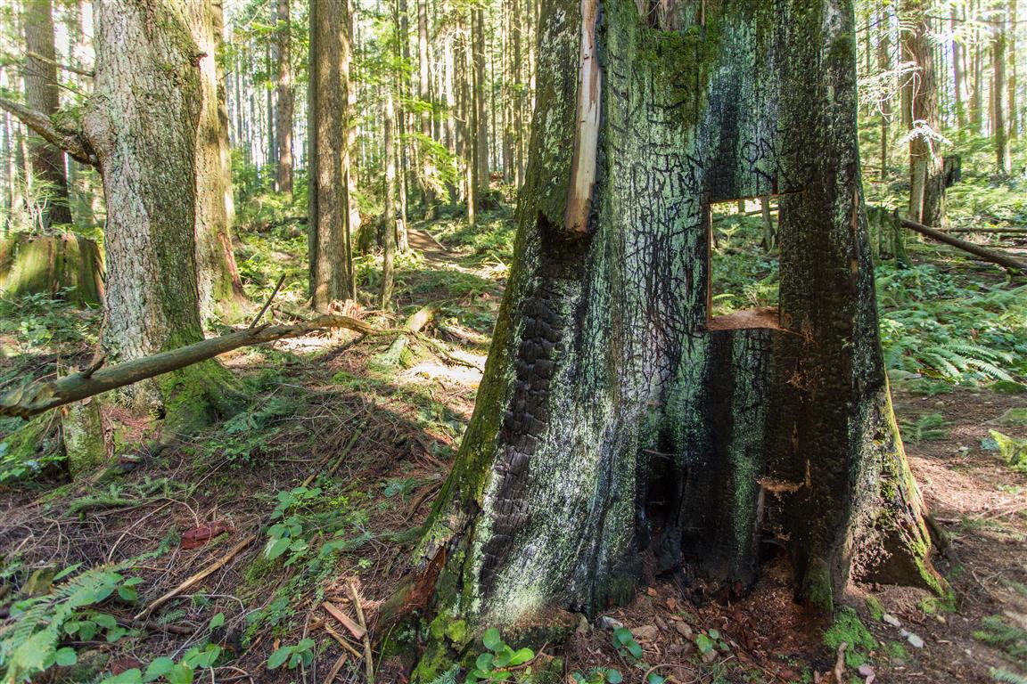
Inside of a burnt tree
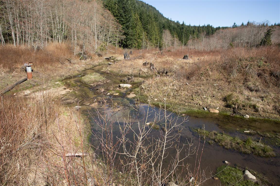
Wetland near the top of Eagle Mountain Drive
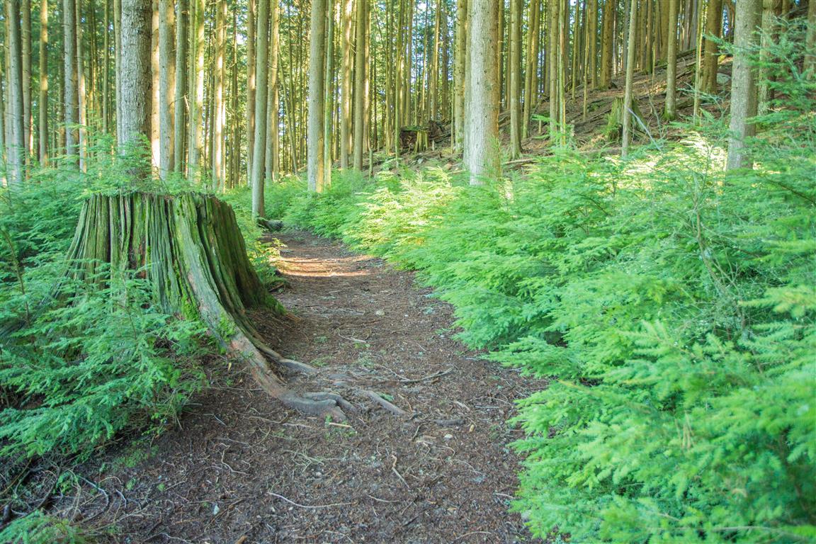
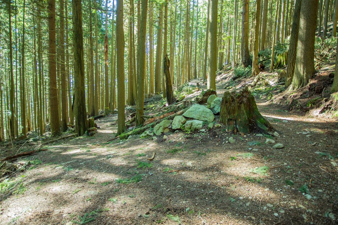
Forest trail on Westwood Plateau
Forest trail
Trail along West Noons Creek
Trail through the forest
Trail towards Eagle Mountain Park
Towards Eagle Mountain Park
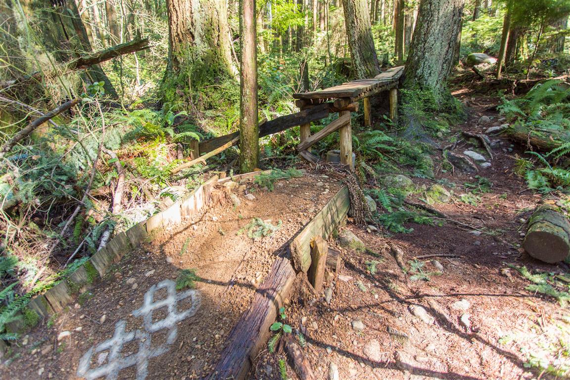
Mountain biking trails
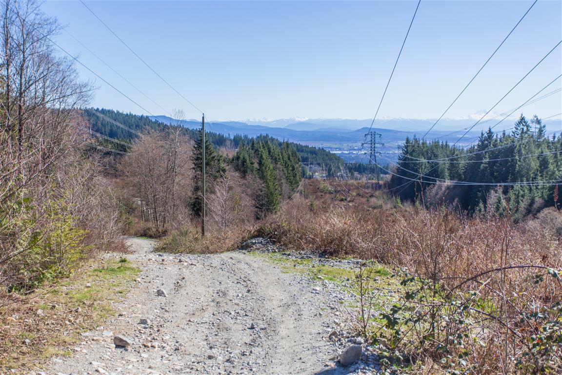
View along the gravel road
Mount Baker can be seen from the gravel road on a clear day
Hole in a tree
Hole in a tree
Fork in the trail
One of the many trail junctions
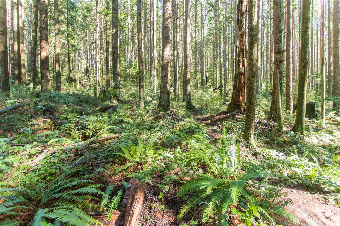
Forest on Westwood Plateau
Forest
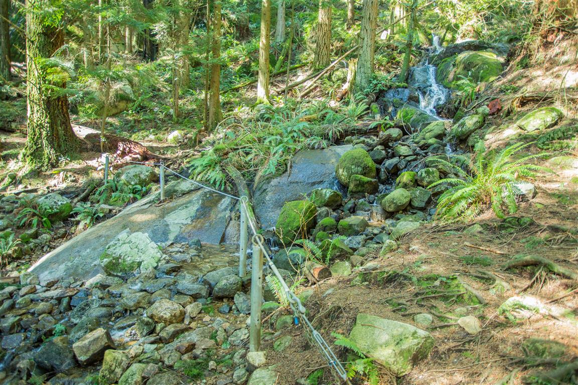
Creek crossing
Creek crossing
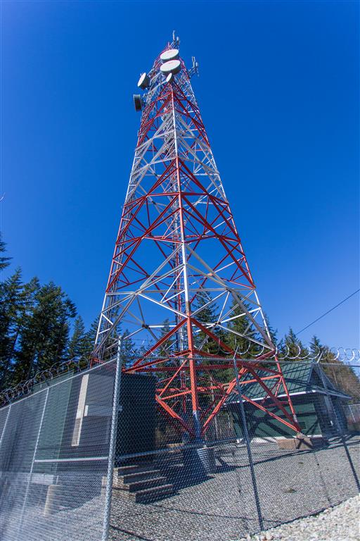
Cell tower above Westwood Plateau
Cell tower near the high point of the route
The route description and trail conditions in this post reflect what I encountered when I completed the hike. Trail conditions, access, signage, and routes can change over time. Before heading out, check current conditions and do your own research.

Sumas Mountain

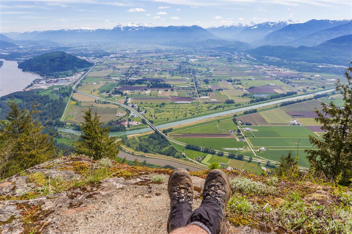
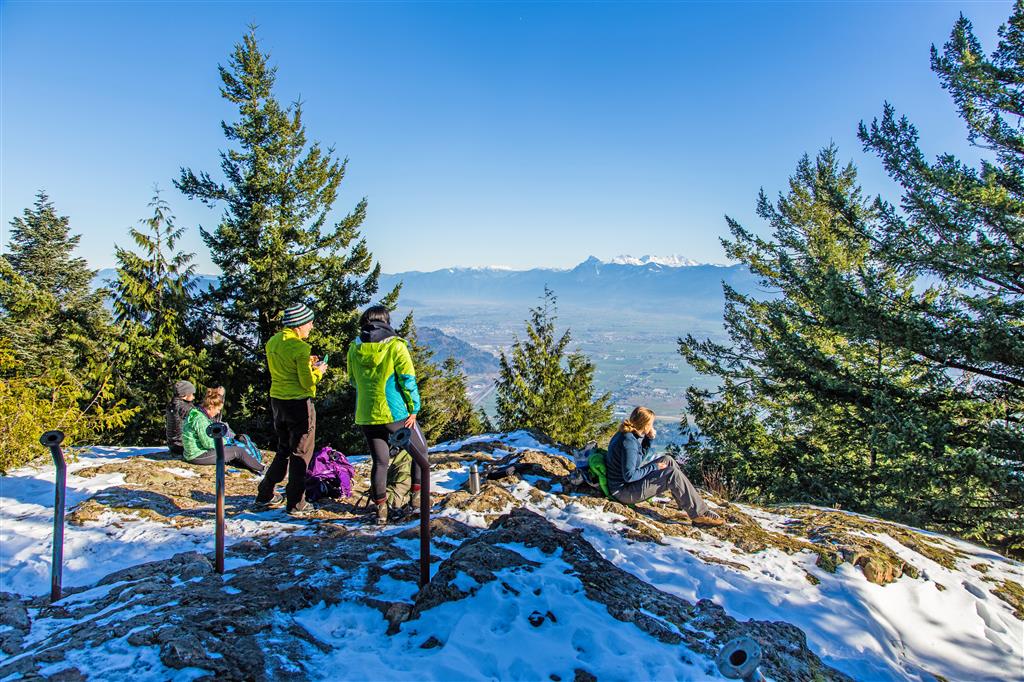
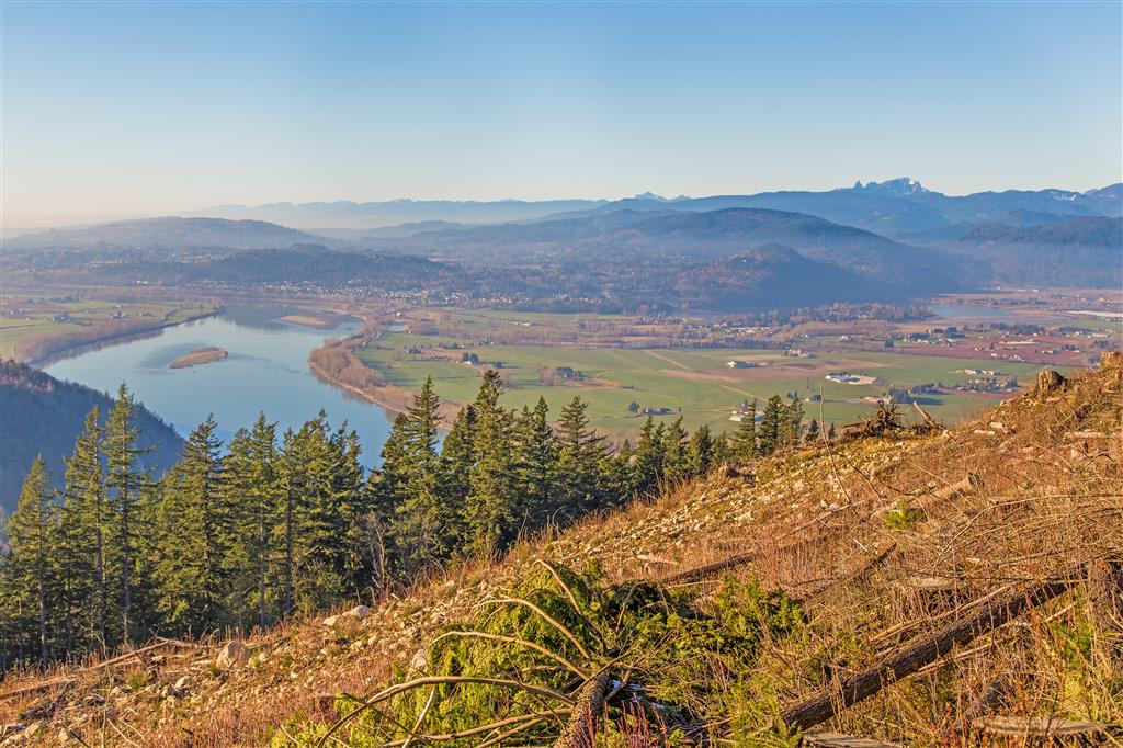
This is the Canadian Sumas Mountain, not the one across the border in Washington! Sumas Mountain is located east of Abbotsford and offers a surprisingly substantial hike through dense forest, past Chadsey Lake, and eventually to a viewpoint near the summit with excellent views across the Fraser Valley.

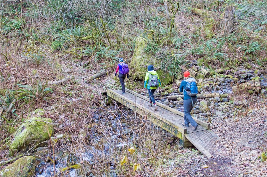
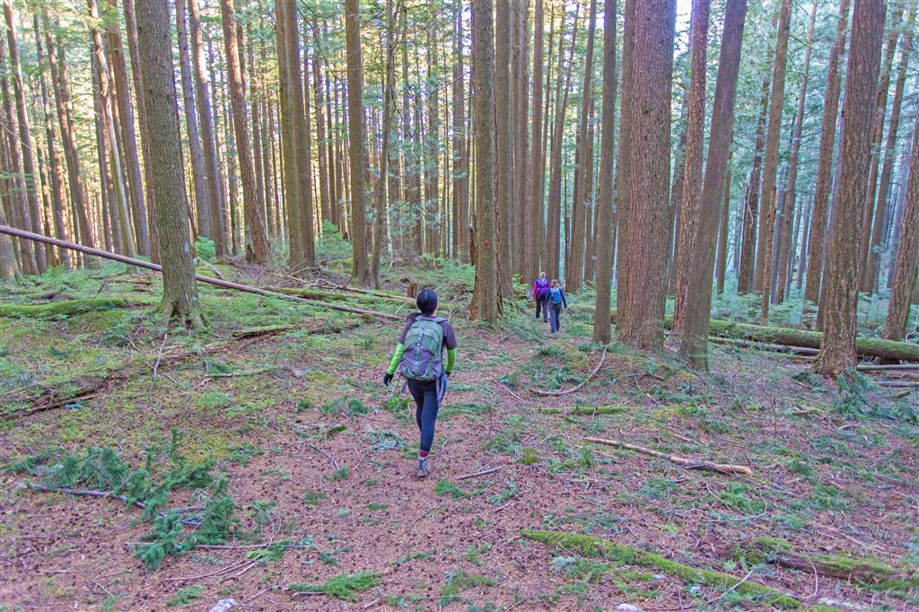
This route starts from Upper Sumas Mountain Road and enters the forest to the east. The trail initially descends gently through a ravine before beginning the long climb towards Chadsey Lake. At about the 2 km mark, the trail reaches a forest service road. Turn right, follow the road for a short distance, and then watch for the trail continuing into the forest on the left.

There is also a worthwhile viewpoint a short distance north along the forest service road. It makes a good little side trip either on the way up or on the return.

After leaving the forest service road, the trail continues climbing for approximately another 2.3 km before reaching Chadsey Lake. At the lake, follow the trail to the left and continue along the shoreline. Watch carefully for the trail that turns left and climbs towards the summit. It can be easy to miss because another trail continues around the lake.

From Chadsey Lake, it is roughly another 2 km of climbing to the upper viewpoint. The reward is an excellent view over the Fraser Valley and Sumas Prairie. This is a fairly long hike with a substantial amount of cumulative elevation gain, but Chadsey Lake provides a nice break between the lower climb and the final ascent.

Interesting Facts

  • Sumas Mountain Regional Park covers approximately 1,471 hectares. Its trails also connect with a much larger network of trails and forest roads extending beyond the park boundaries.
  • Chadsey Lake was previously known as Lost Lake. The small forested lake sits at roughly 660 m elevation and is one of the main destinations within Sumas Mountain Regional Park.
  • Sumas Mountain is within the Coastal Western Hemlock (CWH) biogeoclimatic zone. The mountain includes dry maritime, very dry maritime, and wetter maritime CWH subzones. This route climbs from the lower-elevation forest to almost 900 m, but still remains within the Coastal Western Hemlock zone rather than reaching the Mountain Hemlock zone.
  • The broad, flat farmland visible from the mountain is Sumas Prairie. Part of the prairie occupies the basin of the former Sumas Lake, which was drained during the 1920s to create agricultural land and improve flood control.
  • Sumas Mountain has an interesting geological history. Parts of the mountain are underlain by volcanic rocks of the Jurassic Harrison Lake Formation, along with granodiorite and quartz diorite associated with the Coast Plutonic Complex.

Trail Stats

  • Distance: 14 km
  • Time: 5.5 hours
  • Low point: 139 m
  • High point: 905 m
  • Elevation gain: 766 m
  • Cumulative elevation gain: 1,300 m
  • Trailhead: 49° 07′ 19.8″ N, 122° 11′ 18.6″ W (Google Map)

The Route

The actual GPS track from this hike is drawn on the map below. Green marks the start/end point. Use the layer control in the top right to switch to a satellite view.

Photos

Photos from November 2015 and May 2017.

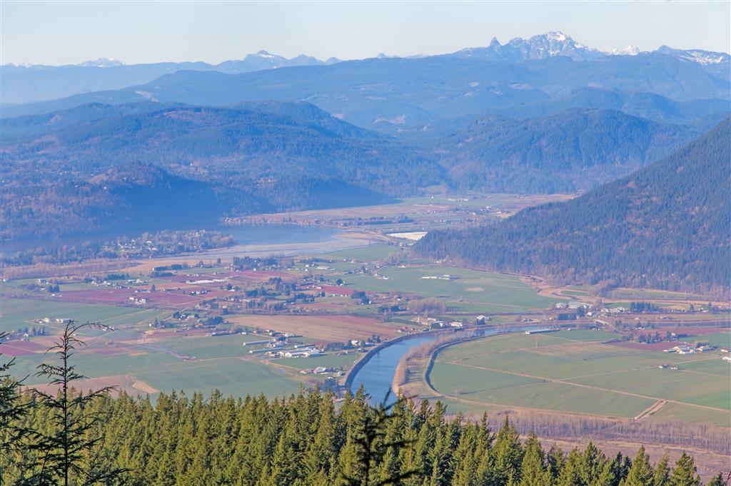
View over Sumas Prairie
Beautiful view over Sumas Prairie
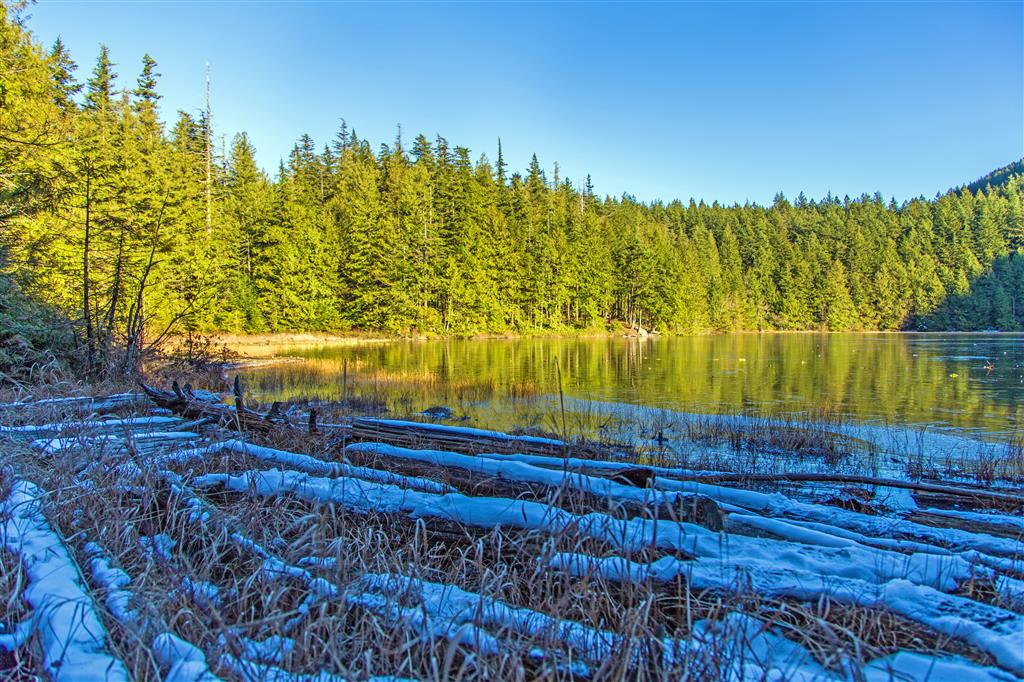
Chadsey Lake
Chadsey Lake
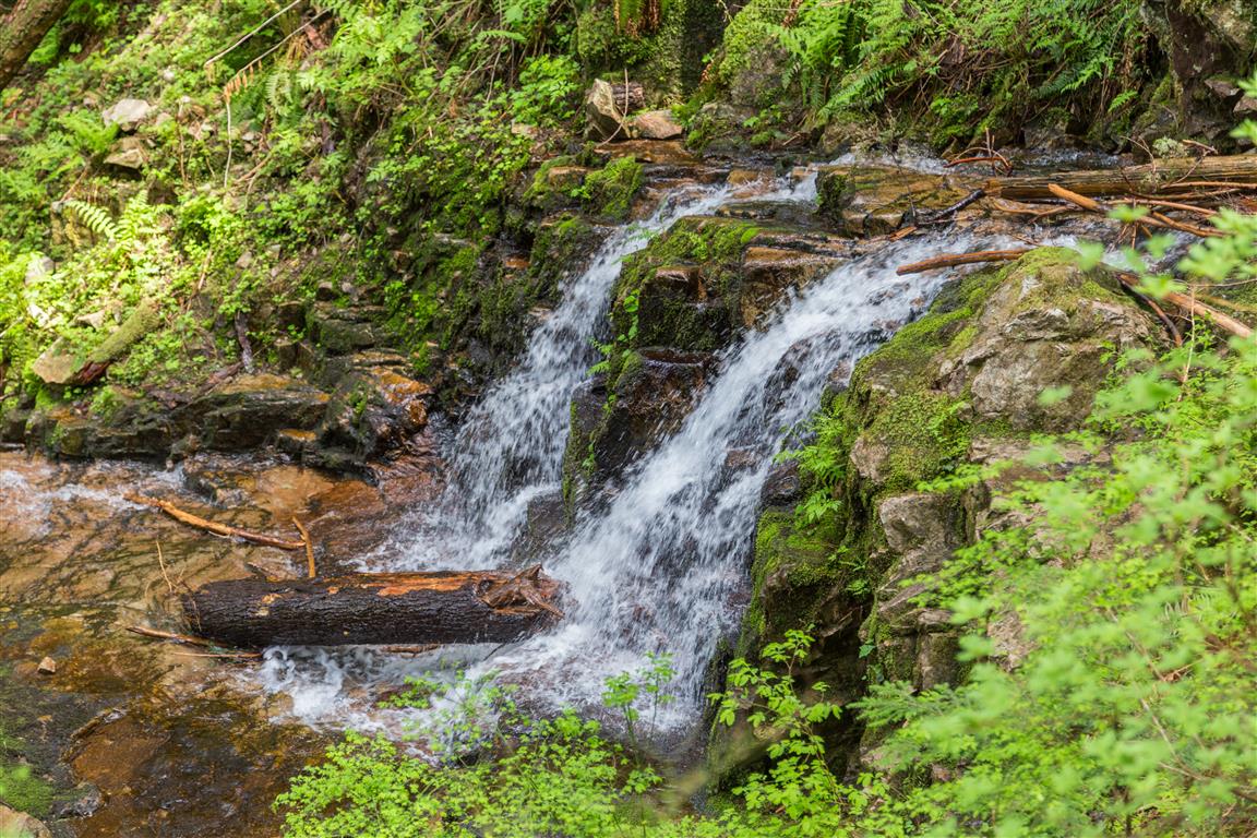
Small waterfall along the trail
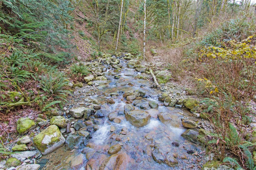
Stream on Sumas Mountain
Stream
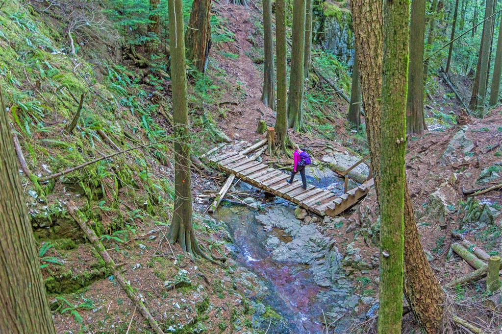
Bridge crossing on Sumas Mountain
Crossing a bridge
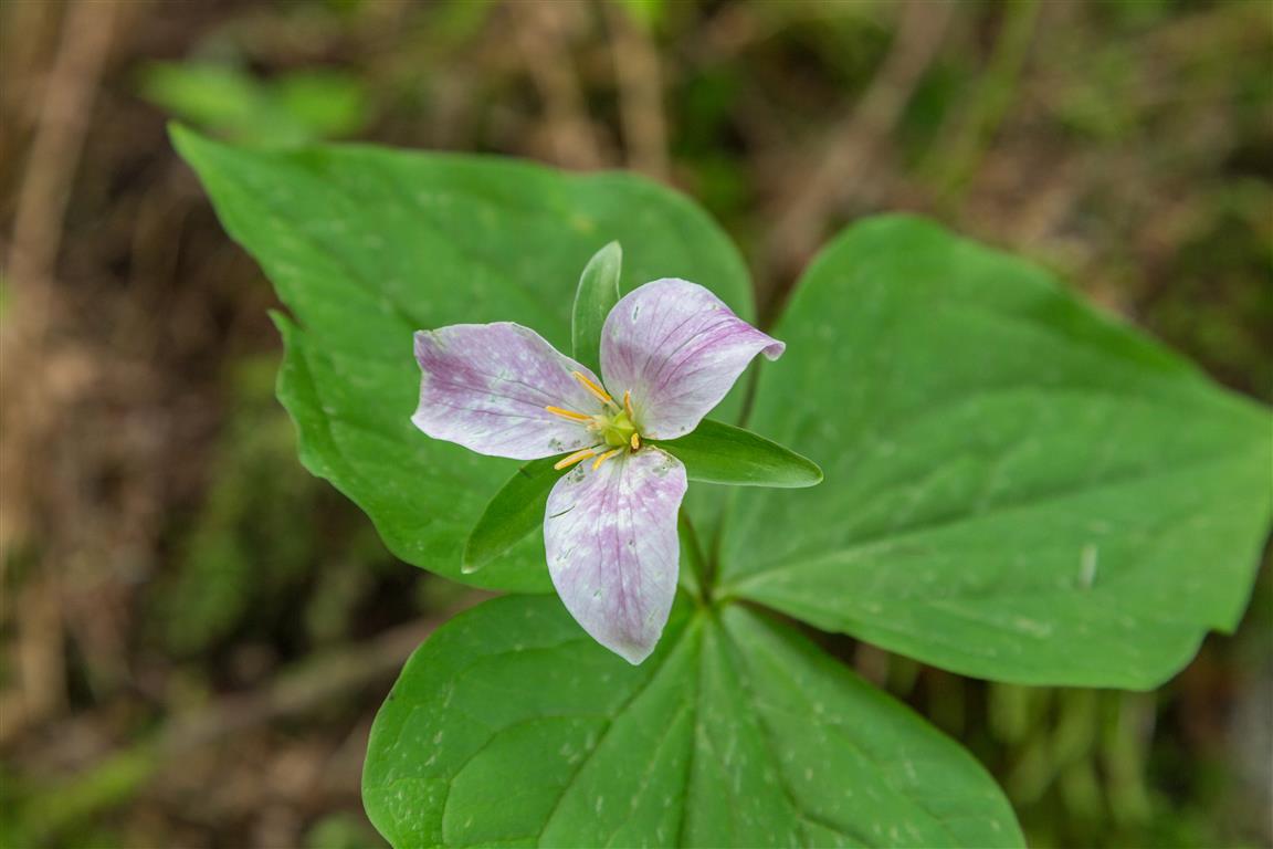
Pink trillium
Pink trillium
View north of Chadsey Lake
View a short distance north of Chadsey Lake
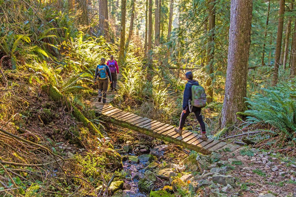
Bridge crossing
Another bridge crossing
Bridge crossing through the forest
Bridge through the forest
At the Sumas Mountain summit viewpoint
Relaxing at the summit viewpoint
Trail through the trees
Walking through the trees
View from the forest service road
Walking through ferns on Sumas Mountain
Walking through the ferns
The route description and trail conditions in this post reflect what I encountered when I completed the hike. Trail conditions, access, signage, and routes can change over time. Before heading out, check current conditions and do your own research.

Before You Hike

Before heading out on your hike, make sure you are well prepared. This means having the TEN ESSENTIALS. It is also important to leave a trip plan (route details and estimated return time) with someone you trust.

Bring your smartphone, fully charged, and put it in airplane mode while hiking. I always bring backup battery packs for extra peace of mind. It is highly recommended that you bring a GPS device. I use my smartphone with a GPS app (Backcountry Navigator). The GPS will work in airplane mode. Learn how to use it before your hike.

For anyone new to hiking, there is a rule that hikers follow called “Leave No Trace” or LNT. The concept is generally to pack out what you pack in and respect nature, so all future visitors can enjoy what you have enjoyed. To learn more about LNT, please check out this blog by a certified LNT Trainer.