All posts by admin
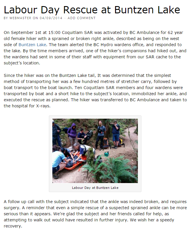
South View East Bastion and White Rock from top of Plateau Boulevard
Back up Eagle Mountain today for another hike. The weather was sunny and warm, but views were hazy. We started at 8:00 am and the street temperature was 21 C; 2km into the hike and the temp dropped to 14C, which was nice. End of the hike, the street temp was 28C.
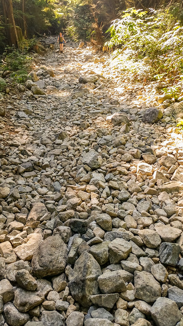
I did a similar hike before, but this is the first time starting from Plateau Boulevard. This route starts on a paved road and then a rough cobble road, which is tough when coming down. We also took a look at the ‘South View’ viewpoint on the way up.
Today’s stats:
Distance: 15.2 km (return)
Time: 7 hours (with breaks for views, snacks and photos)
Low point: 324 m
High point: 977 m
Elevation gain: 653 m
Cumulative Elevation gain: 940 m
Calories burned: 4700
Trailhead: 49° 19’ 17.2” by 122° 47’ 34” (Google Map)
Here is today’s route…
It was my first time at the ‘South View’ viewpoint. Unfortunately the haze obscured the view…
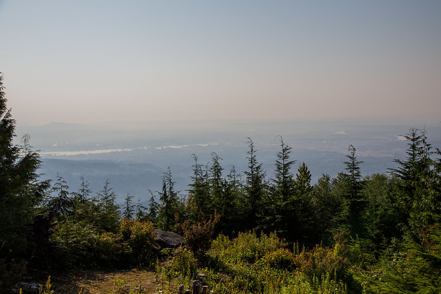
After south view, we headed to Cypress Lake…
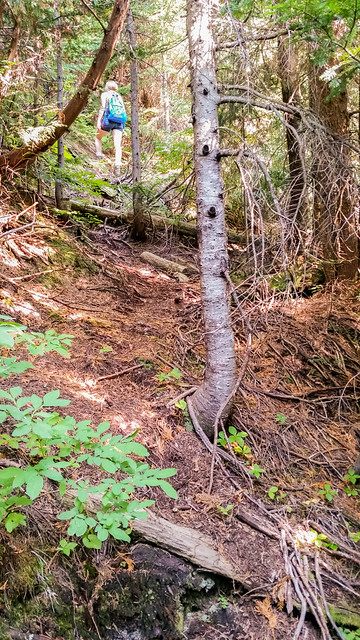
After Cypress Lake we headed on to the East Bastion trail to the West Rampart viewpoint. Last time I went up here, we had to take the west route, as the east route trail was flooded. Today, we took the east route. The trail was quite overgrown, but still easily manageable. We saw many bear scats along the way, but no bears. After you get off the flat trail, the route gets pretty tough – I would say one of the more difficult stretches on Eagle Mountain I’ve done so far – not in terms of physical exhaustion, but just getting up steep sections and scrambling over and under blow downs. When we arrived at the East Bastion viewpoint, we were treated with another great view, but not as good as last time, due to the haze.
We then headed to the White Rock viewpoint and we met 3 other hikers along the way (we saw them again 5 km later). I didn’t bother with a shot from the White Rock viewpoint, as I’ve done it a few times before.
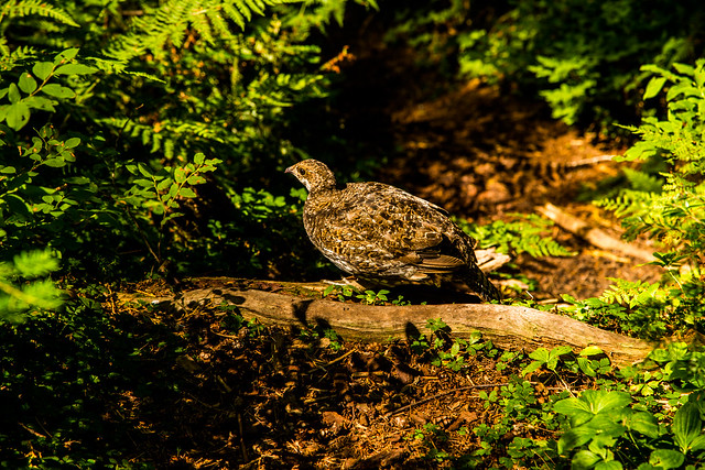
On the way down from the White Rock viewpoint, we were treated with a Grouse on the trail. It just stayed there, while we took some photos (I actually had to get my camera out of my bag and change the battery). There were two or three babies around too. The last time I saw a grouse was on the Diez Vistas trail in July 2014 and that time it was aggressive. Here is a picture of the grouse from today…
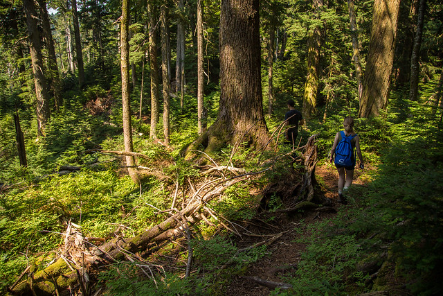
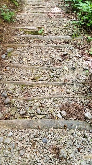
Next are a couple of trail pictures…
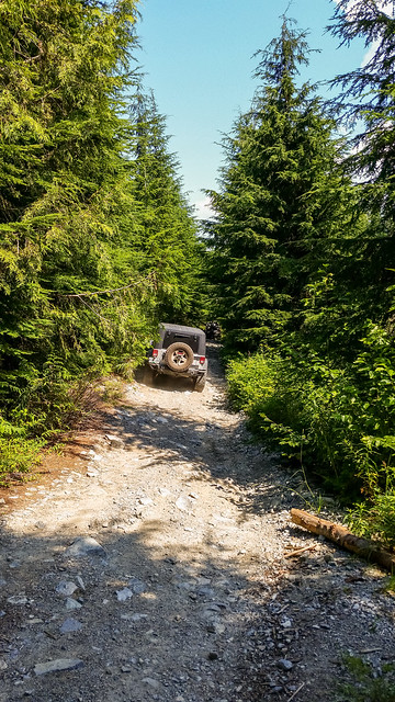
Like I said before, the trail coming down is largely a rock road with large boulders…
Five jeeps came down the road and we had to stand on the side…
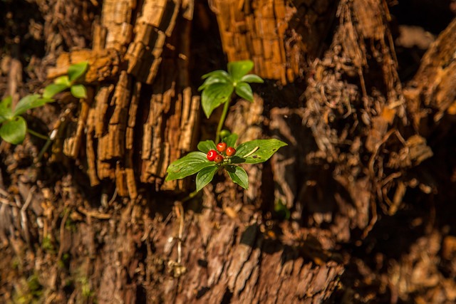
Here’s a final photo of some dogwood berries, which are plentiful…
Overall, the hike was great and the weather cooperated. Can’t wait ’til next time.
★★★★★★★★★★★
Before heading out on your hike, make sure you are well prepared. This means, having the TEN ESSENTIALS. It is also important to leave a trip plan (route details and estimated return time) with someone you trust.
Bring your smartphone, fully charged and put it in airplane mode while hiking. I always bring back-up battery packs for extra piece of mind. It is highly recommended that you bring a GPS device; I use my smartphone with a GPS app (Backcountry Navigator). The GPS will work in airplane mode. Learn how to use it before your hike.
For anyone new to hiking, there is a rule to which hikers follow; it is called “Leave No Trace” or LNT. The concept is generally to pack out what you pack in and respect nature, so all future visitors can enjoy what you have enjoyed.
To learn more about LNT, please check out this BLOG by a certified LNT Trainer.
★★★★★★★★★★★
Dragonflies
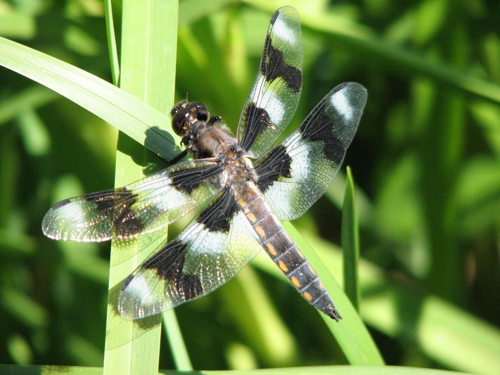
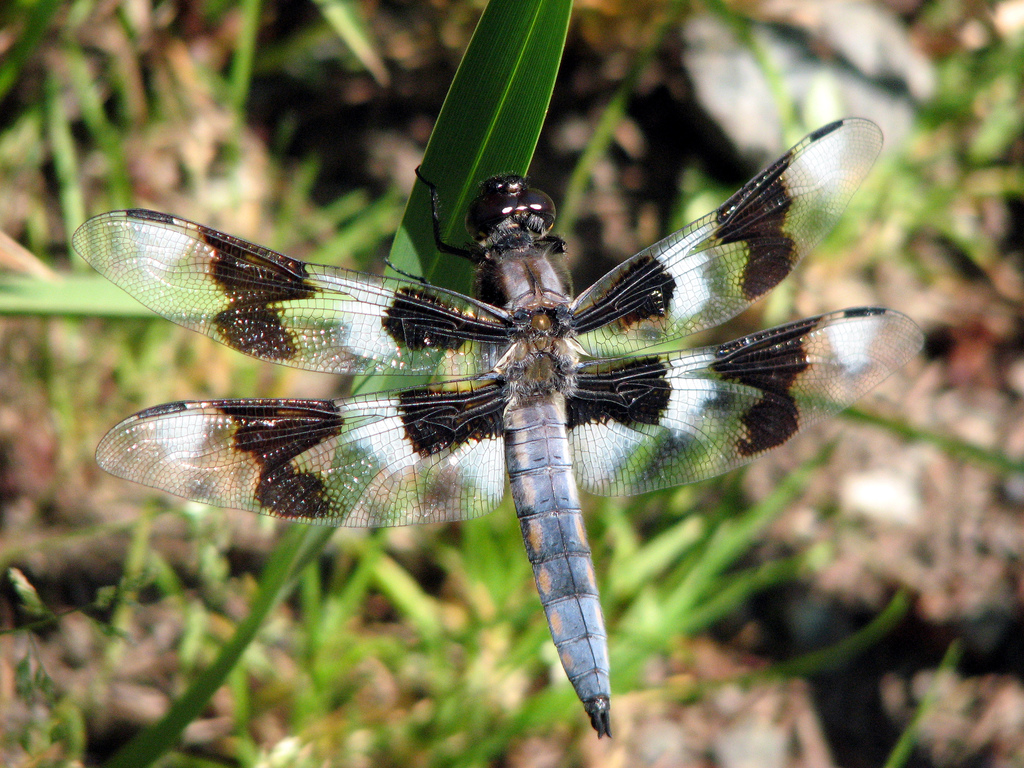
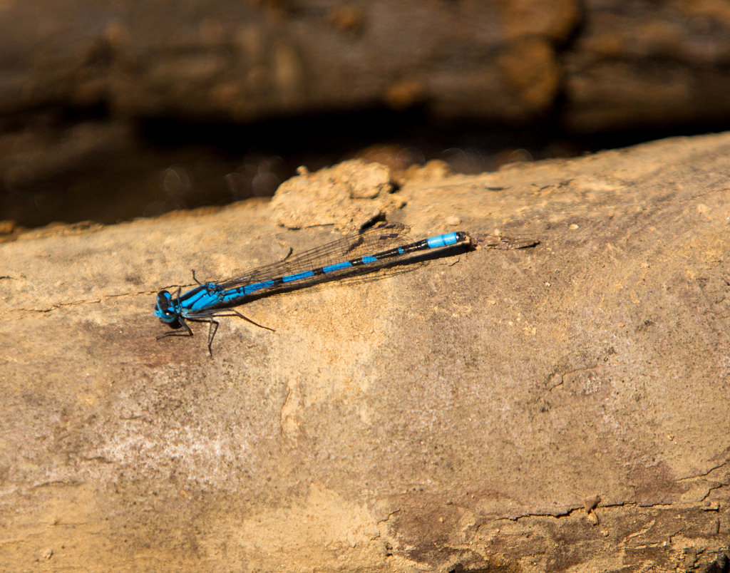
I’ve noticed a large number of Dragonflies at Buntzen Lake and all around the tri-cities this summer.
Dragonflies spend most of their life beneath the water’s surface in their ‘nymph’ stage. The larval stage of large dragonflies may last as long as five years. After the dragonfly has emerged from the water, they live up to a year. Maybe there was a large amount of dragonflies 4 or 5 years ago, which produced the large amounts this year. Maybe we’ll see another boom in 4 or five years from the eggs of this year’s crop.
Have you ever had a dragonfly fly very close to you ? Well, they’re doing you a favour by eating mosquitoes and other insects. In fact, as long as there’s food around they keep eating.
Common predators of dragonflies include: birds; frogs; fish; spiders. I can add humans to that as well – from personal experience – I was playing tennis last year and on my serve a dragonfly flew into the path of my racket and died – it made such a thud – I couldn’t believe it !
This is cool…
10 Surprisingly Brutal Facts About Dragonflies
Burke Mountain – Coquitlam Lake Viewpoint
We parked alongside Harper Road, just south of the Port Coquitlam Gun Club. Apparently you’ll get towed if you park at the Gun Club.
The day was great – we started at 8am and starting trail temps were 17C and got as low as 14C. On the way down in the open areas, the temperature got up to 27C.
The stats:
Distance return: 11.7 km
Starting elevation: 324 m
Max altitude: 905 m
Elevation Gain: 581 m
Cumulative elevation gain: 725 m
Time: 4 hours
Trailhead: 49° 18’ 49” by 122° 44’ 57.3” (Google Map)
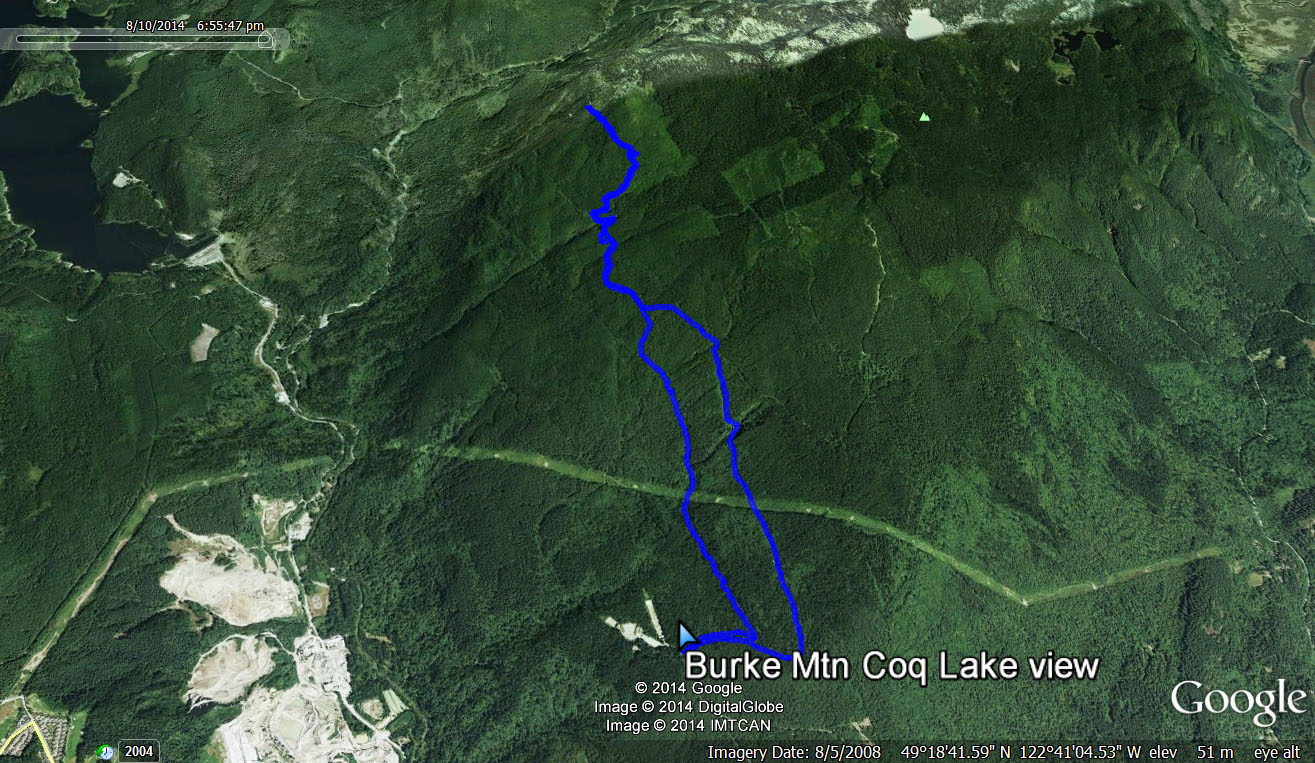
Here is the route…
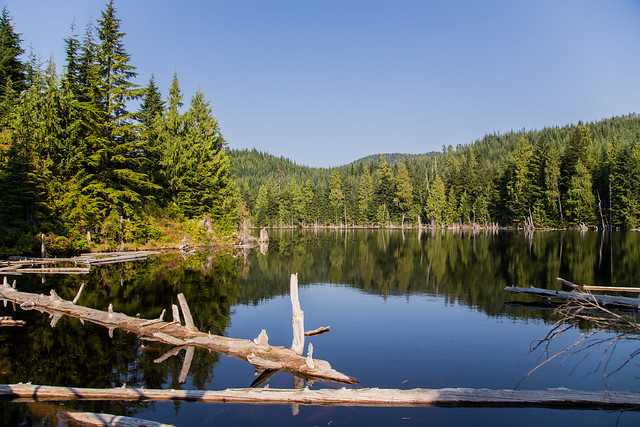
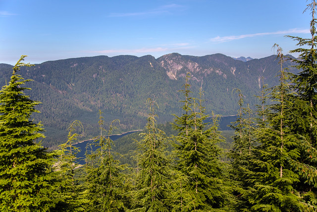
I will start with the feature photo…
Not too bad of a view, but I’m sure as the years go on, the trees will be more obstructive. That’s Eagle Mountain on the other side of Coquitlam Lake.
Here is the route we took today ala Google Earth (click for large size)…
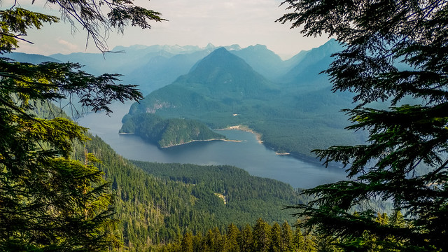
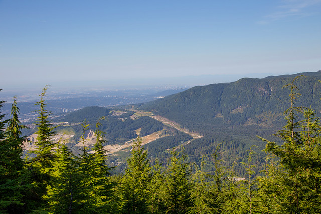
Here’s another view we had at the top – it shows some of the quarries just south of the Coquitlam River.
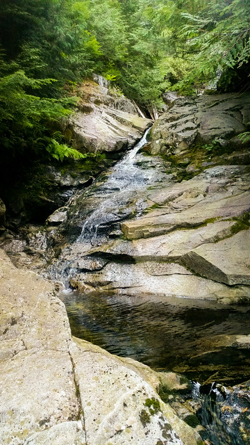
We saw a nice little waterfall on the way up…
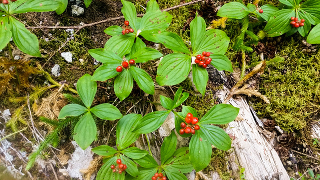
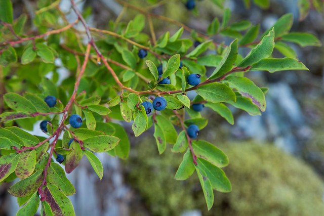
The next two photos are dogwood berries and wild blueberries (which were sour)…
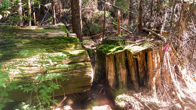
Here is a large tree that was cut down, but left in the forest…
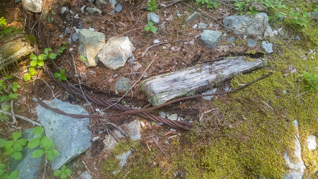
The next two photos are evidence of the logging activities here in the early 1900s…
As we come down the mountain, we could hear the sounds of the gun club.
Overall, it was a good hike with some good exercise. The signage was good I found. I still recommend having a GPS for this hike. Not many people at all. We some mountain bikers on the way down – that’s about it.
★★★★★★★★★★★
Before heading out on your hike, make sure you are well prepared. This means, having the TEN ESSENTIALS. It is also important to leave a trip plan (route details and estimated return time) with someone you trust.
Bring your smartphone, fully charged and put it in airplane mode while hiking. I always bring back-up battery packs for extra piece of mind. It is highly recommended that you bring a GPS device; I use my smartphone with a GPS app (Backcountry Navigator). The GPS will work in airplane mode. Learn how to use it before your hike.
For anyone new to hiking, there is a rule to which hikers follow; it is called “Leave No Trace” or LNT. The concept is generally to pack out what you pack in and respect nature, so all future visitors can enjoy what you have enjoyed.
To learn more about LNT, please check out this BLOG by a certified LNT Trainer.
★★★★★★★★★★★
Ducklings in Buntzen Lake
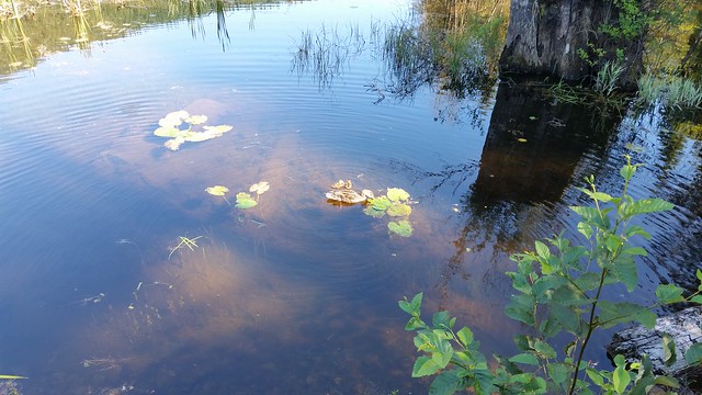
Today, on a hot late July day, I saw two little ducklings with their mom near the old floating bridge…
Saw these Wednesday, July 30th. Pretty late in the season for ducklings I think.
In the past, I’ve seen ducklings in Coquitlam (Lafarge Lake) in late May and early June.
Its near the same place I saw a Great Blue Heron last year – Haven’t seen one in Buntzen Lake since – Don’t know why, its such a great habitat with loads of fish. Maybe they’re just hiding from me, like the bears.

