All posts by admin
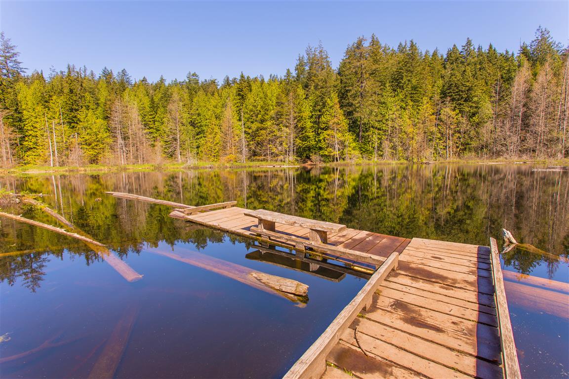
Whyte Lake
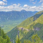
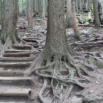
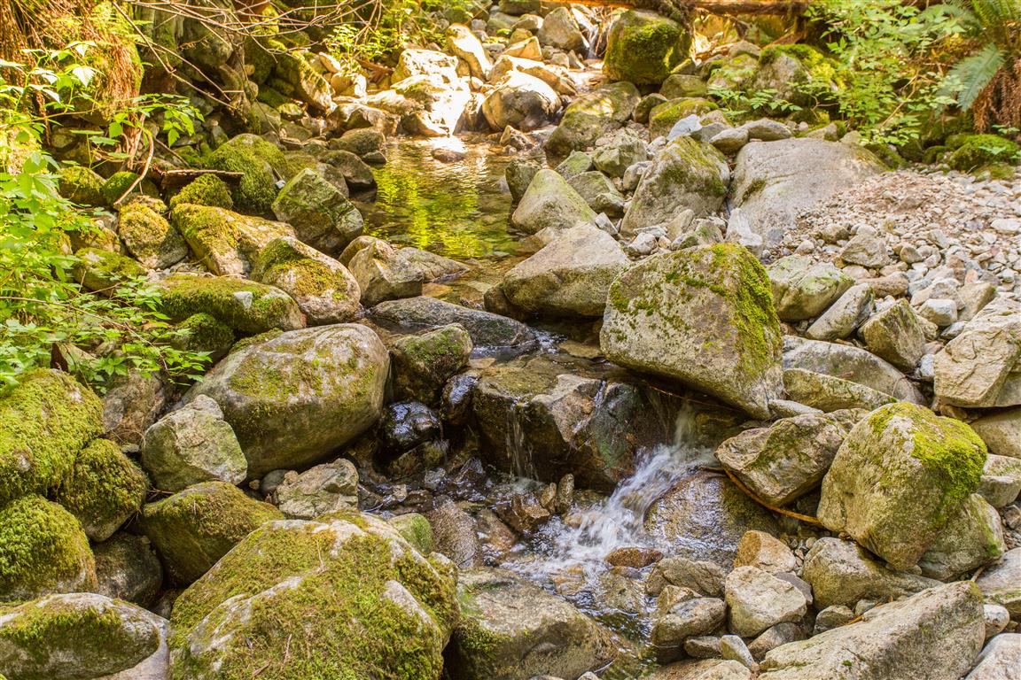
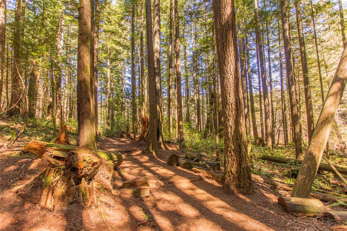
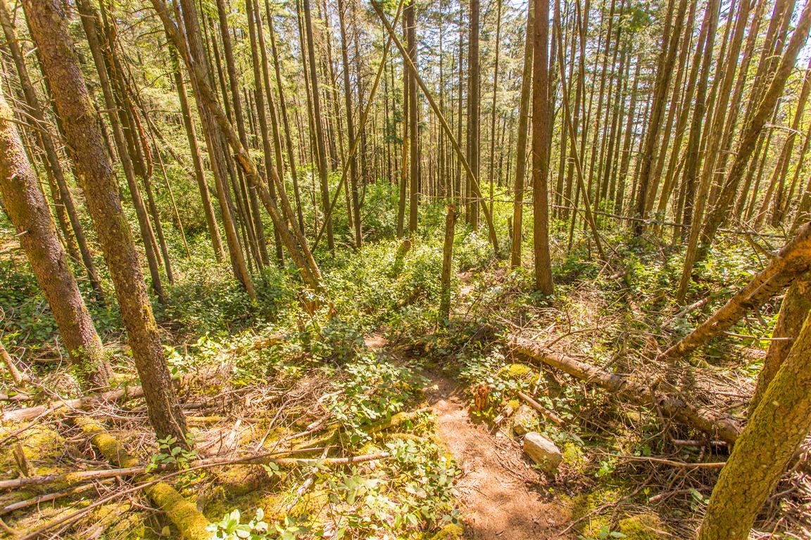
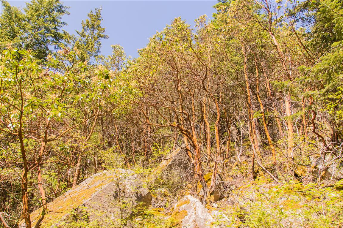
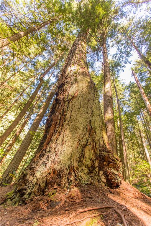
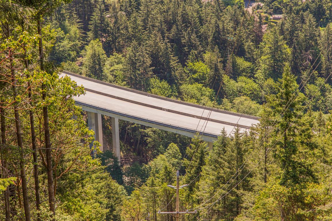
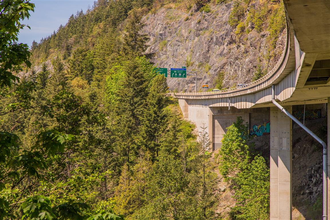
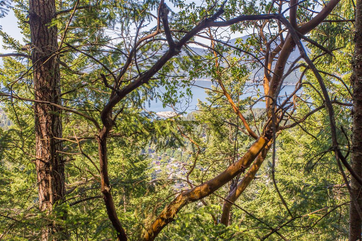
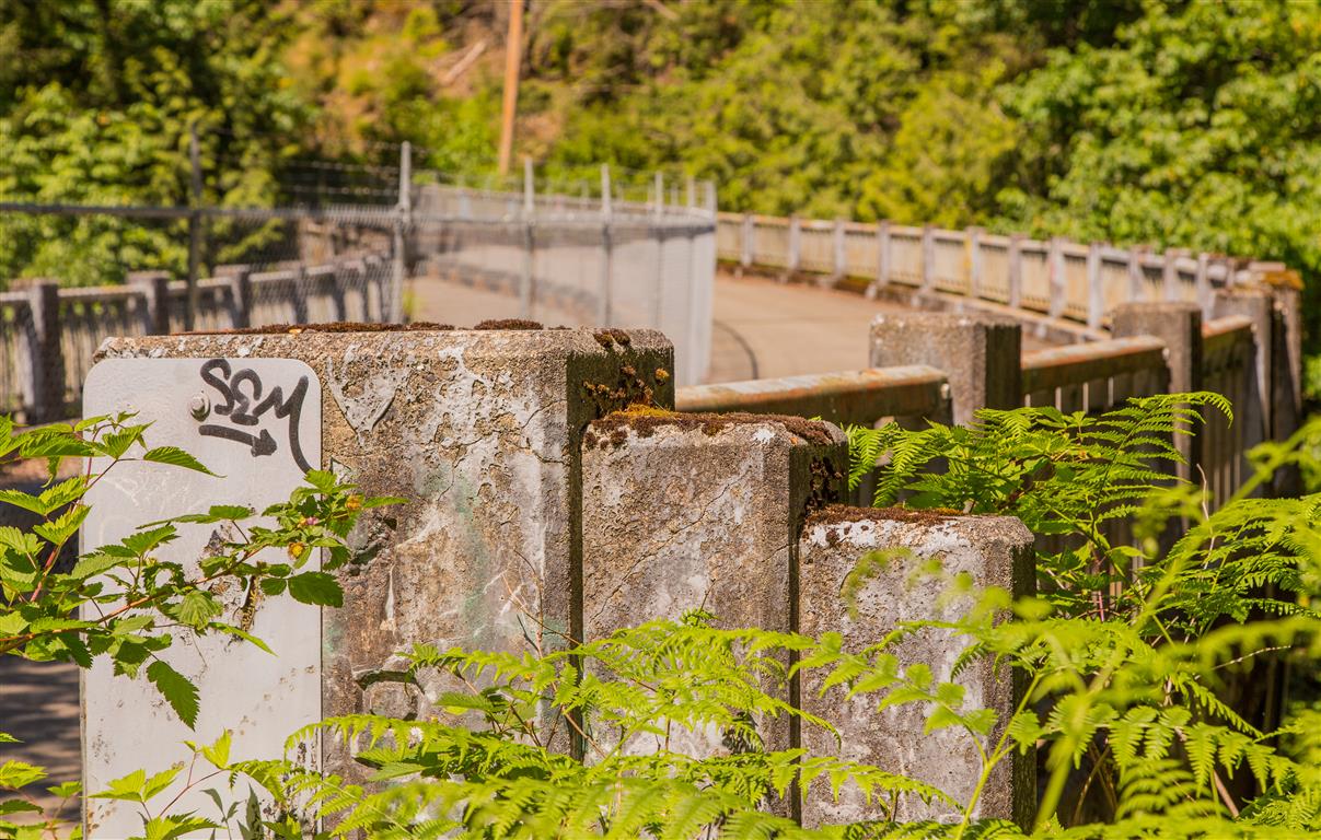
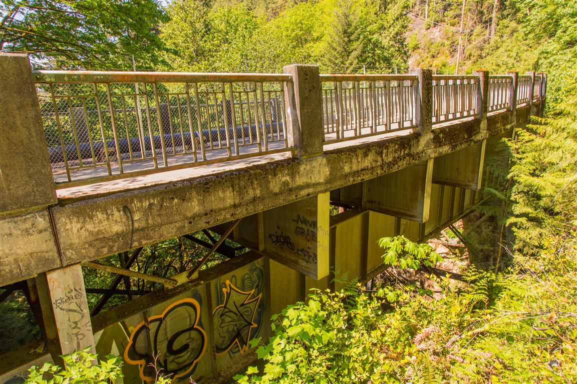
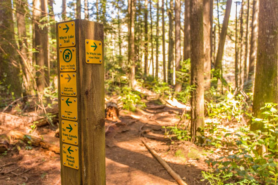
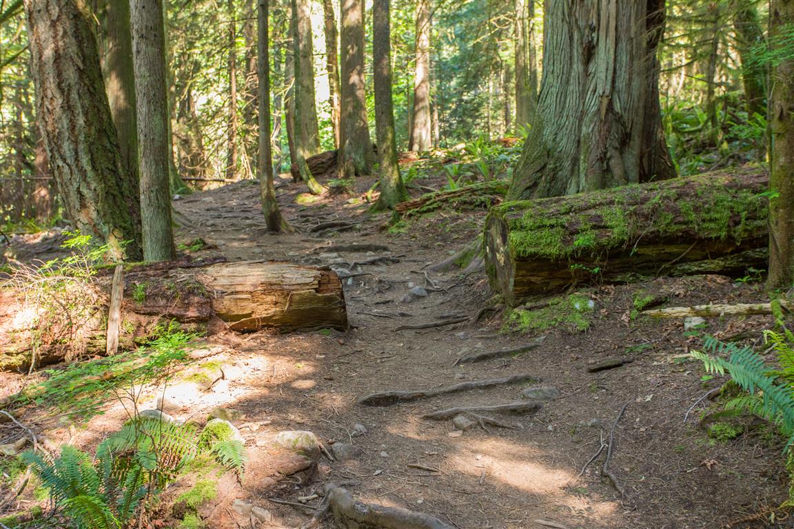
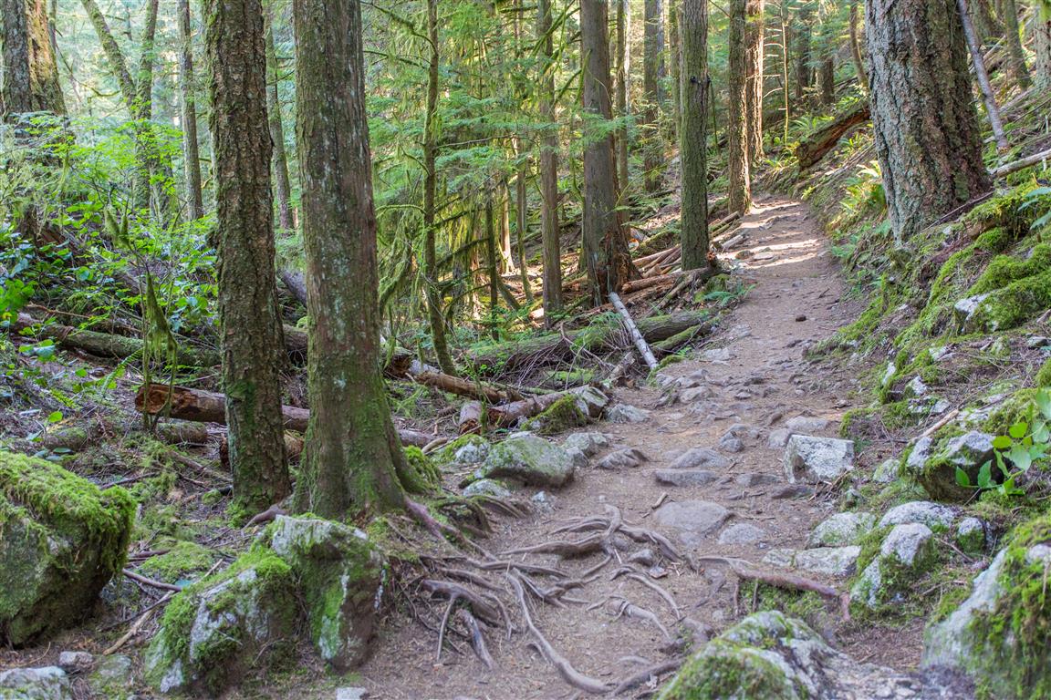
The Whyte Lake trail is an easy hike that starts from near the Nelson Creek Bridge (Trans-Canada Highway) in West Vancouver. There is nice little parking lot just for this hike (see location below for parking and trailhead location). After passing under the bridge, you will pass a reservoir and start into the forest. The hike is mostly uphill all the way to the lake, which is only 2.5 km away. The trail follows the east side of the Nelson Creek Ravine; as you head north, the ravine gets noticeably smaller. The trail is well established and easy to follow. Today, I completed the hike in a loop (I choose a different way down), but most people will return the same way. With the loop I did, there is a little more elevation gain and the trail isn’t marked (but it is easy to follow assuming no snow on ground). There is a tree-obstructed view of Howe Sound from a small branch off the loop trail.
Here are the stats for the loop/or return on same trail route:
Distance: 6.2 km (loop) / 5.0 km (same trail)
Time: 2 hours (lots of breaks)
Low point: 96 m
High point: 343 m
Elevation gain: 247 m
Calories burned: 600
Trailhead: 49° 21’ 38.7” by 123° 15’ 31.4” (Google Map)
The route…
The photos…
★★★★★★★★★★★
Before heading out on your hike, make sure you are well prepared. This means, having the TEN ESSENTIALS. It is also important to leave a trip plan (route details and estimated return time) with someone you trust.
Bring your smartphone, fully charged and put it in airplane mode while hiking. I always bring back-up battery packs for extra piece of mind. It is highly recommended that you bring a GPS device; I use my smartphone with a GPS app (Backcountry Navigator). The GPS will work in airplane mode. Learn how to use it before your hike.
For anyone new to hiking, there is a rule to which hikers follow; it is called “Leave No Trace” or LNT. The concept is generally to pack out what you pack in and respect nature, so all future visitors can enjoy what you have enjoyed.
To learn more about LNT, please check out this BLOG by a certified LNT Trainer.
★★★★★★★★★★★
Williams Lake River Valley Trail
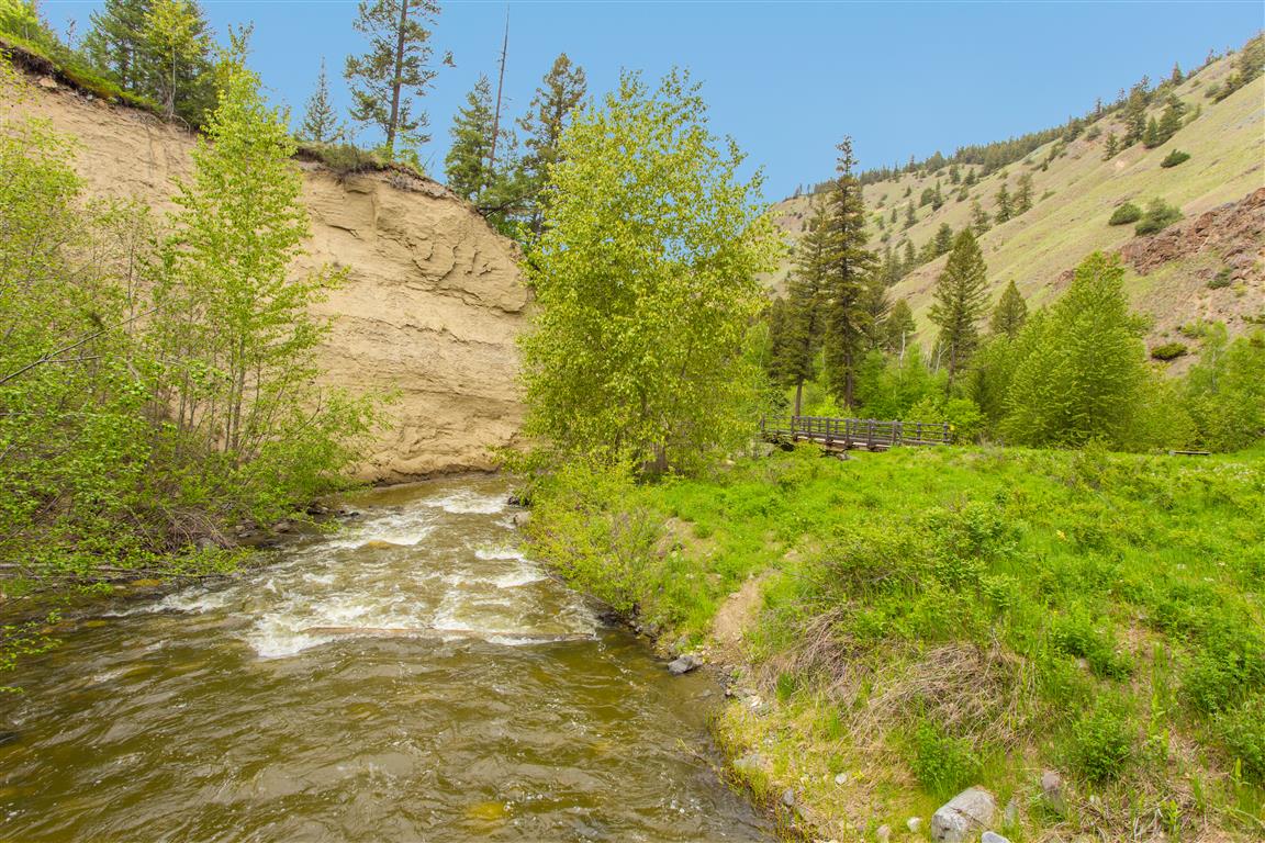
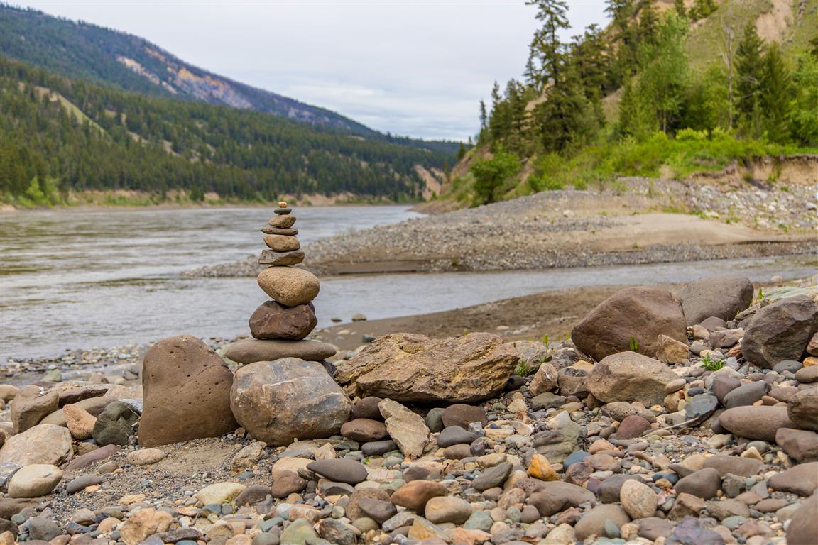
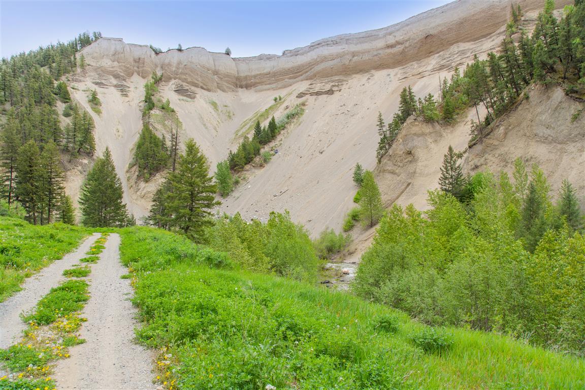
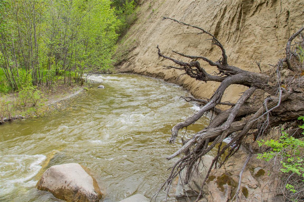
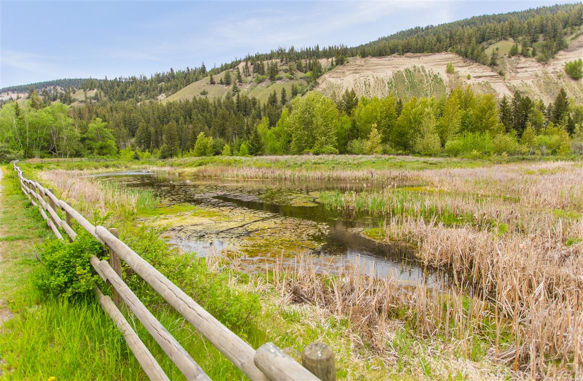
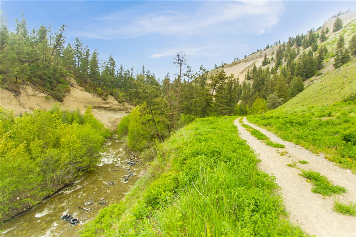
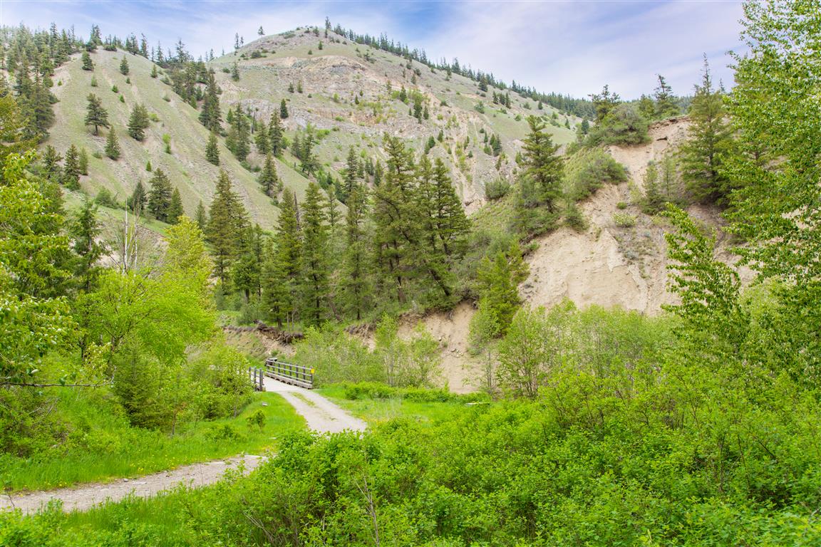
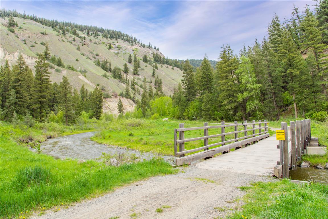
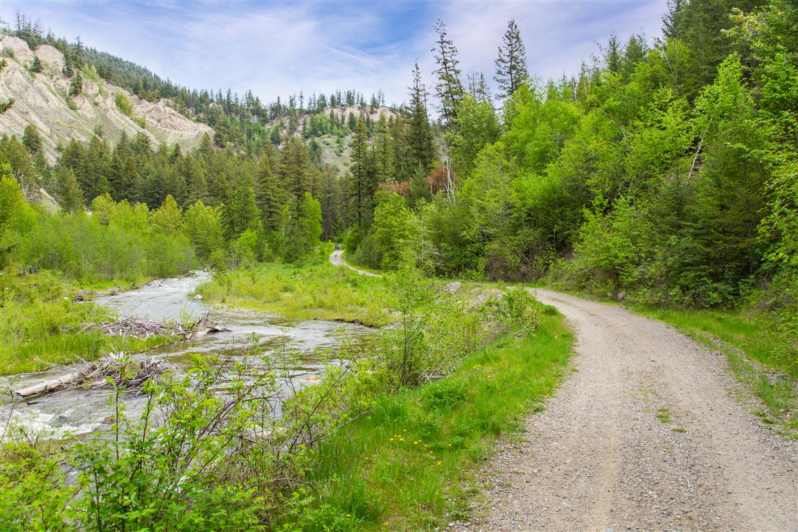
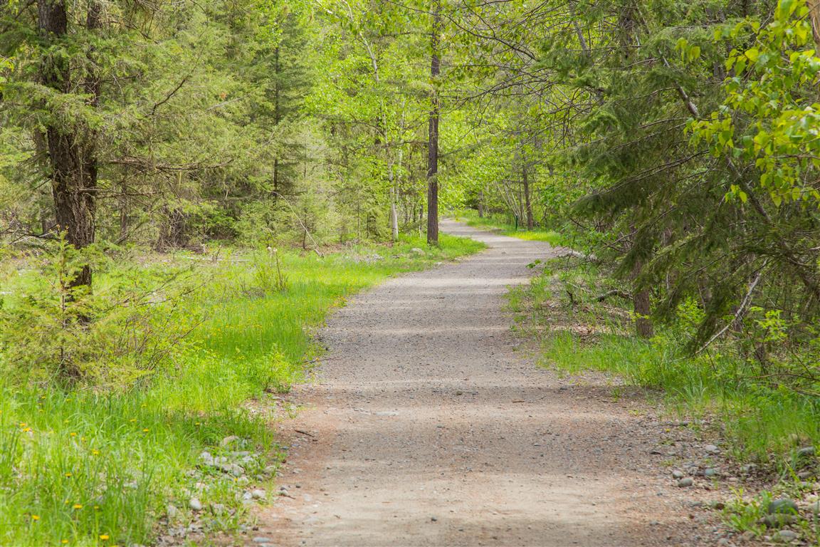
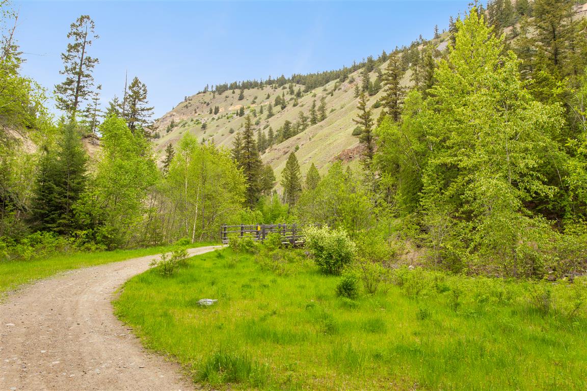
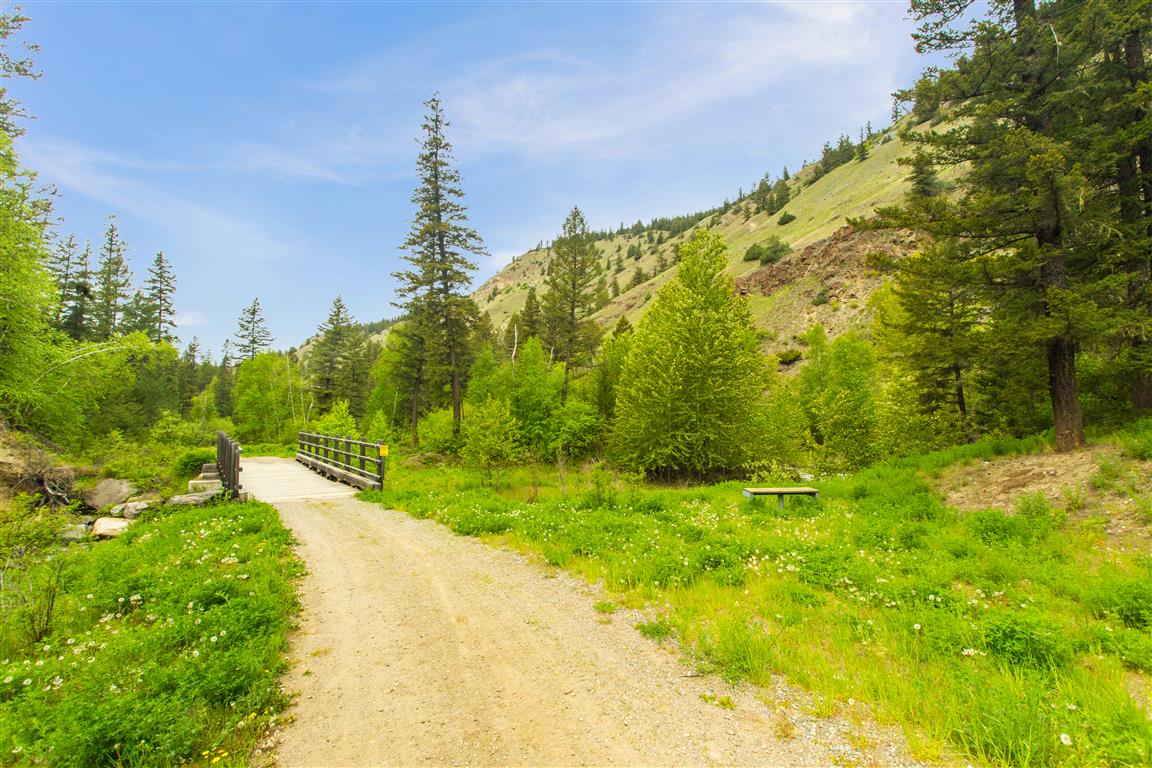
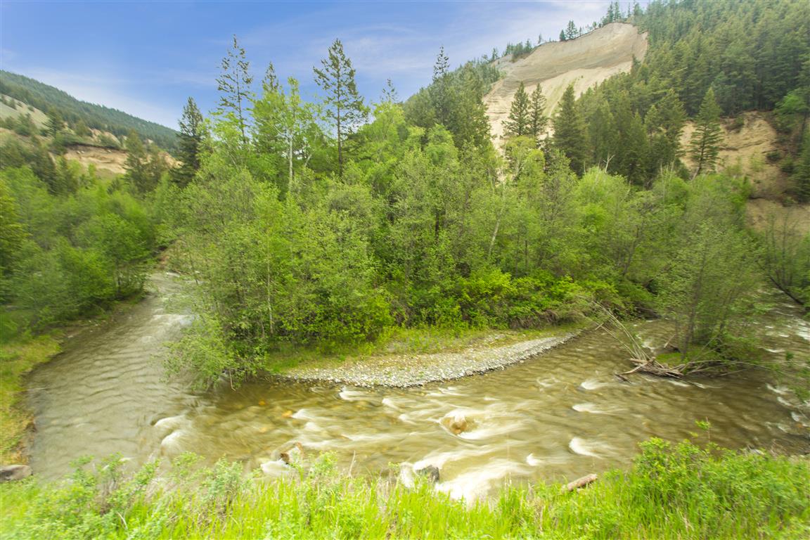
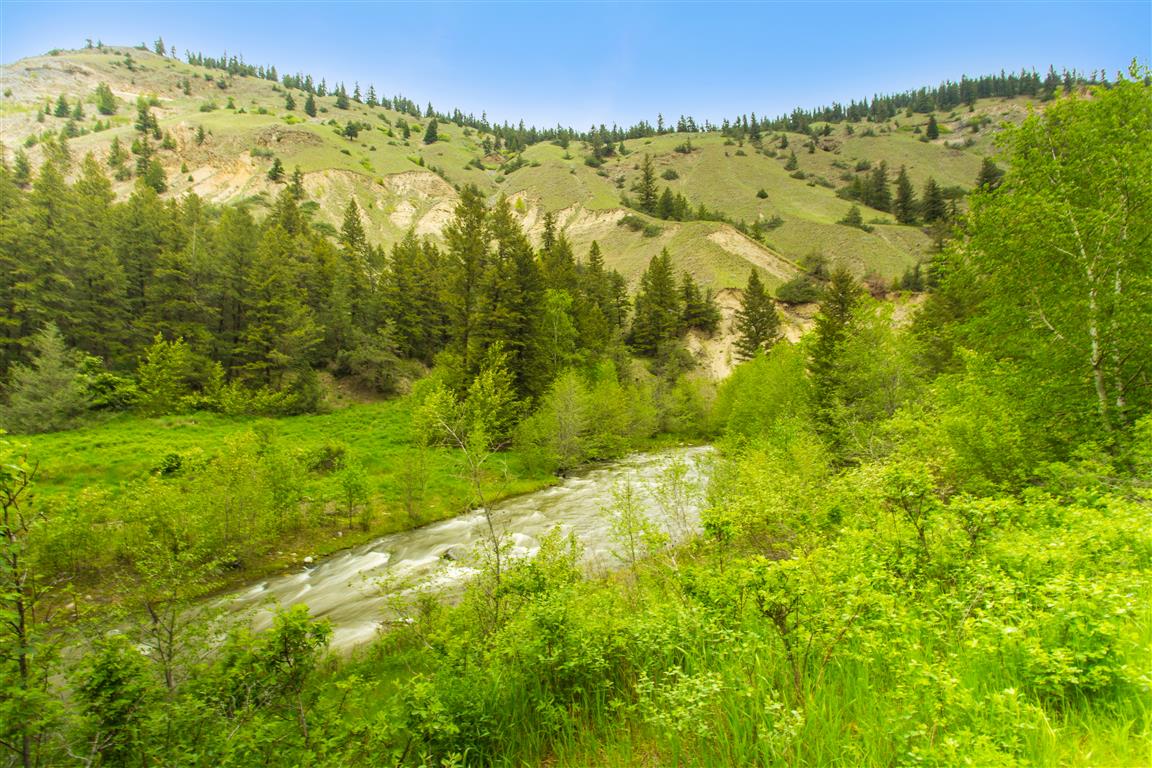
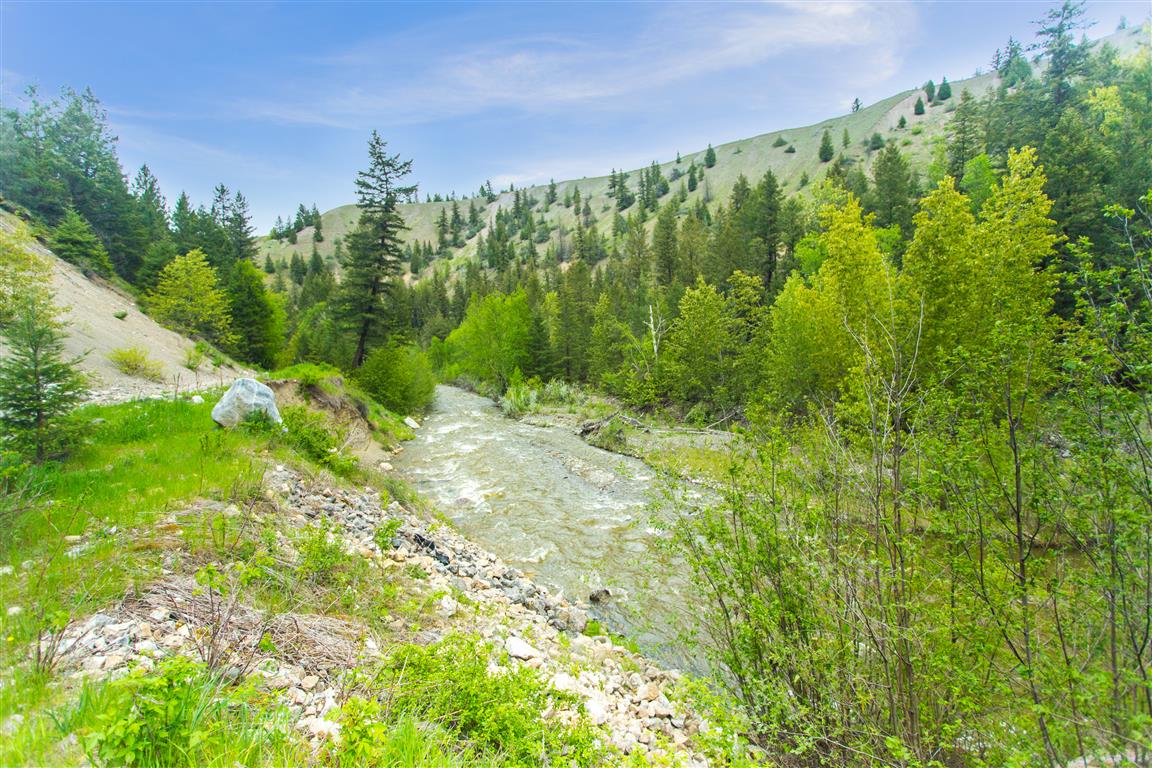
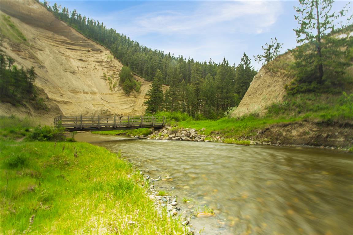
I was recently in Williams Lake for business and I had lots of spare time. I researched this hiking trail before I went – and I was lucky with the weather on the day I was in Williams Lake. There are many sections of the trail, but I started just off Frizzi Road, a short drive from the town center. The hike follows the meandering Williams Lake River on a well established gravel path. During the hike, you will pass a marsh, forests, 14 bridges and towering 150 m cliffs. The trail ends at the confluence of the Williams Lake River and the Fraser River. The gentle sloping trail is very easy.
The stats:
Distance: 10 km (return)
Time: 3.5 hours
Low point: 400 m
High point: 515 m
Elevation gain: 115 m
Trailhead: 52° 9’ 41” by 122° 13’ 5” (Google Map)
The route…
The photos…
★★★★★★★★★★★
Before heading out on your hike, make sure you are well prepared. This means, having the TEN ESSENTIALS. It is also important to leave a trip plan (route details and estimated return time) with someone you trust.
Bring your smartphone, fully charged and put it in airplane mode while hiking. I always bring back-up battery packs for extra piece of mind. It is highly recommended that you bring a GPS device; I use my smartphone with a GPS app (Backcountry Navigator). The GPS will work in airplane mode. Learn how to use it before your hike.
For anyone new to hiking, there is a rule to which hikers follow; it is called “Leave No Trace” or LNT. The concept is generally to pack out what you pack in and respect nature, so all future visitors can enjoy what you have enjoyed.
To learn more about LNT, please check out this BLOG by a certified LNT Trainer.
★★★★★★★★★★★
North Shore Hikes
Alice Lake
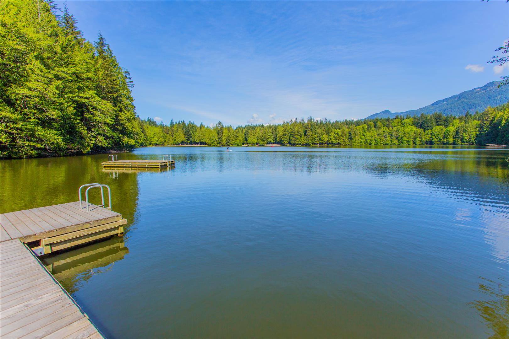
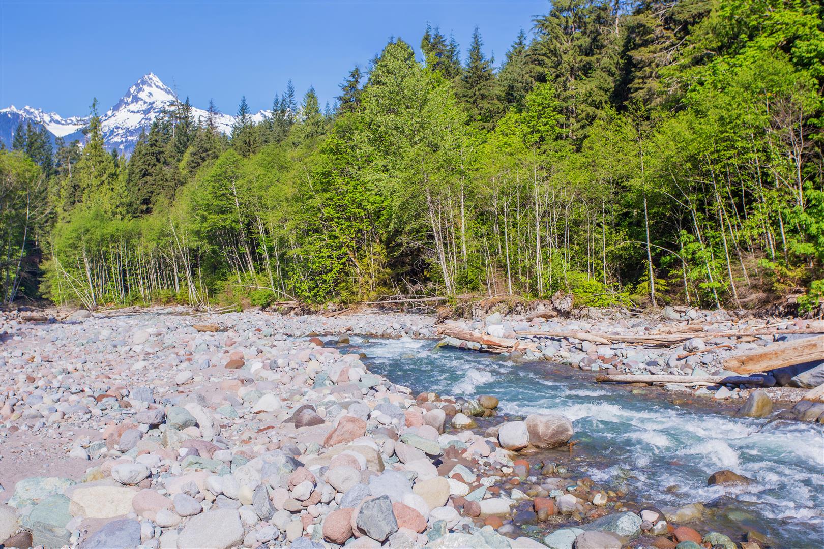
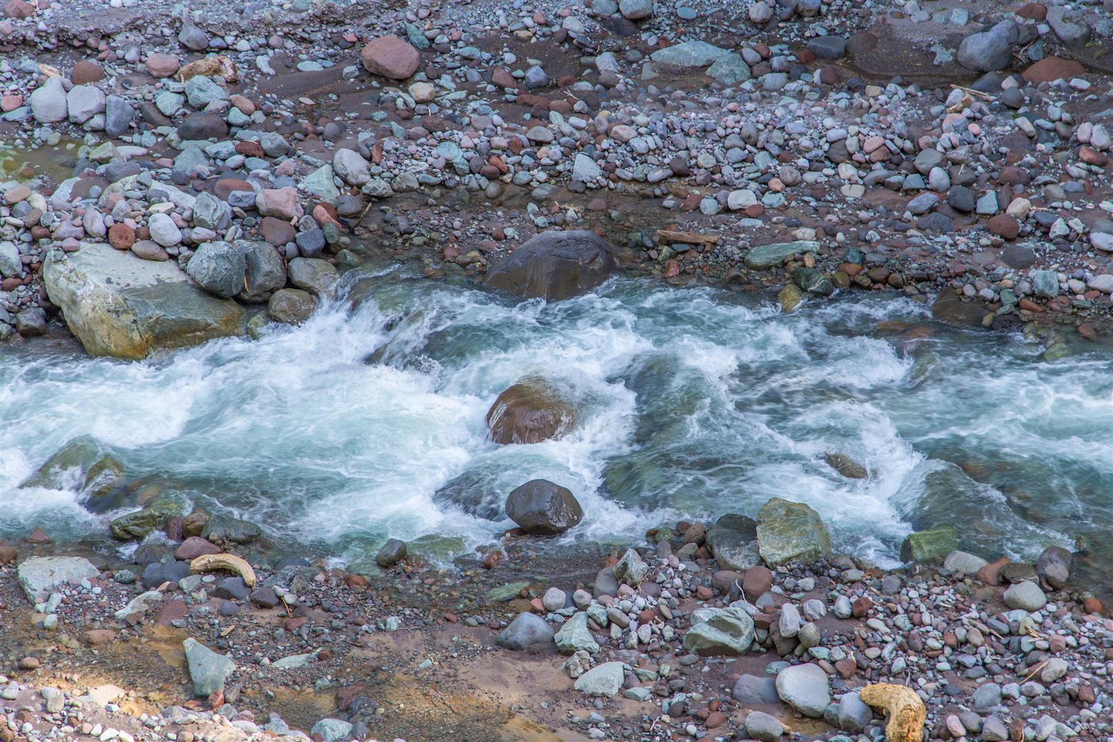
This post is for the 4 Lakes Trail at Alice Lake Provincial Park, just north of Squamish. This hike is fairly flat and quite easy. The trail meanders through a forest and around 4 lakes. Although the highlight for me was a stop on the Cheekeye River with an amazing view of Mt. Alpha.
Distance: 8.4 km (loop)
Time: 3 hours (lots of breaks)
Low point: 192 m
High point: 317 m
Elevation gain: 125 m
Cumulative Elevation gain: 280 m
Trailhead: 49° 47’ 1.3” by 123° 7’ 17.1” (Google Map)
The route…
The photos…

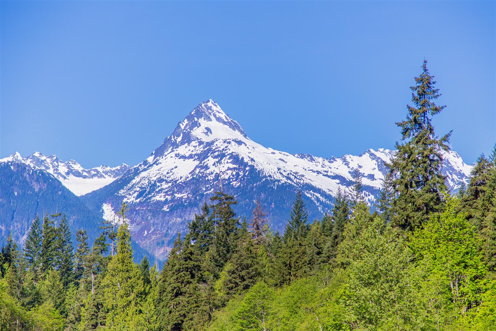
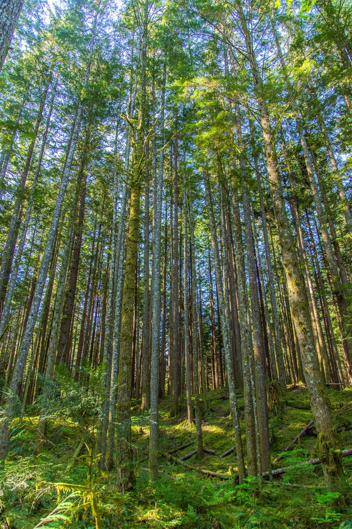
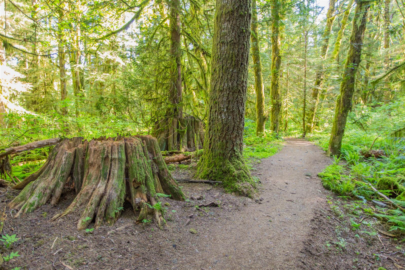
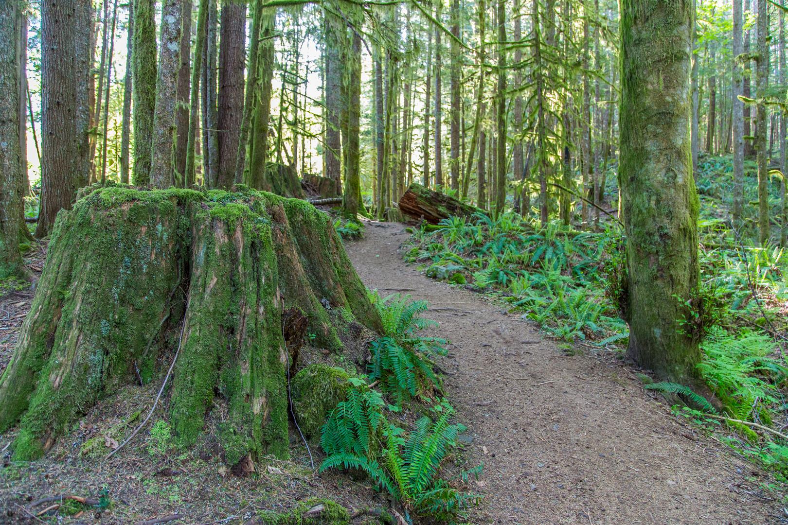
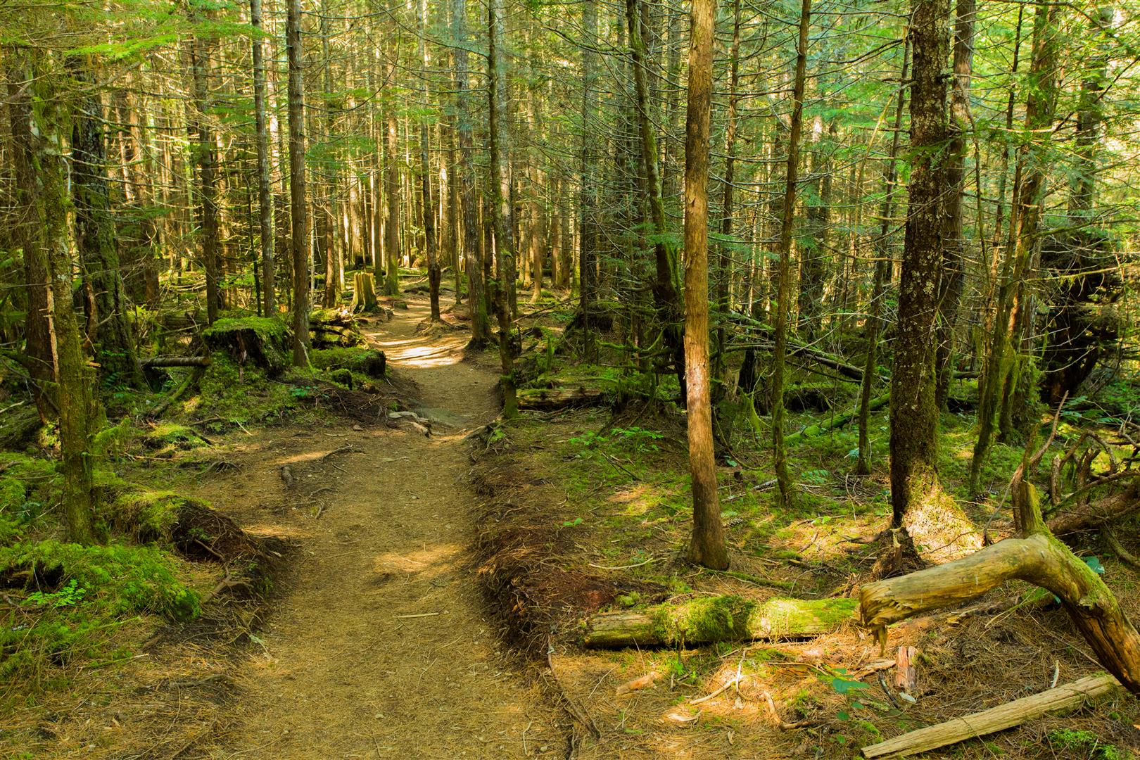
Here’s a link to all my photos on the hike… https://flic.kr/s/aHskvLTXcc
★★★★★★★★★★★
Before heading out on your hike, make sure you are well prepared. This means, having the TEN ESSENTIALS. It is also important to leave a trip plan (route details and estimated return time) with someone you trust.
Bring your smartphone, fully charged and put it in airplane mode while hiking. I always bring back-up battery packs for extra piece of mind. It is highly recommended that you bring a GPS device; I use my smartphone with a GPS app (Backcountry Navigator). The GPS will work in airplane mode. Learn how to use it before your hike.
For anyone new to hiking, there is a rule to which hikers follow; it is called “Leave No Trace” or LNT. The concept is generally to pack out what you pack in and respect nature, so all future visitors can enjoy what you have enjoyed.
To learn more about LNT, please check out this BLOG by a certified LNT Trainer.
