Category Archives: Non-Buntzen Lake Hikes

Crystal Falls


The hike to Crystal Falls starts at north end of Shaughnessy Street in Coquitlam. This walk/hike has very gentle slope and generally follows the Coquitlam River. On hot summer days, it’s nice to take a dip in the shallow river. Be careful of some of the steep cliffs on the trail. The falls are located on Prichett Creek – a tributary of the Coquitlam River.

Tip: On a hot summer day, take your sandals, so you can cool off in the low-flowing Coquitlam River.

You can park on Shaughnessy Street or Karley Crescent – just pay attention to the parking signs and be mindful of residents.

Distance: 5.6 km (return)
Low point: 50 m
High point: 114 m
Elevation gain: 64 m
Trailhead and Parking: 49° 17’ 44.4” by  122° 46’ 15” (Google Map and Navigation)

Here’s the route with downloadable gps…

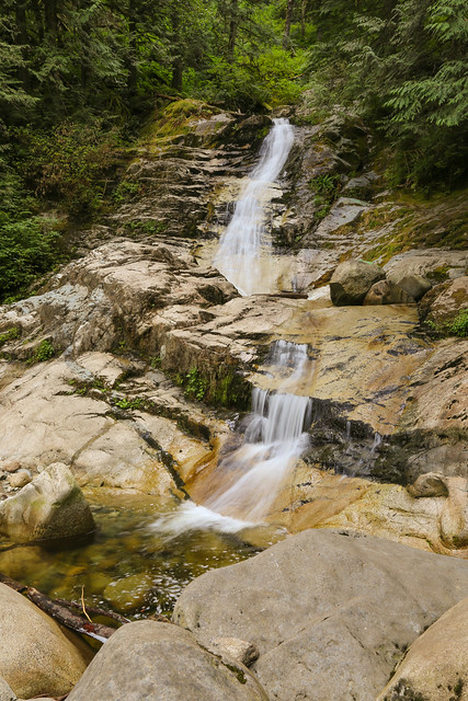
Here is a photo of the falls…

Crystal Falls

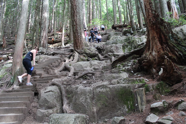
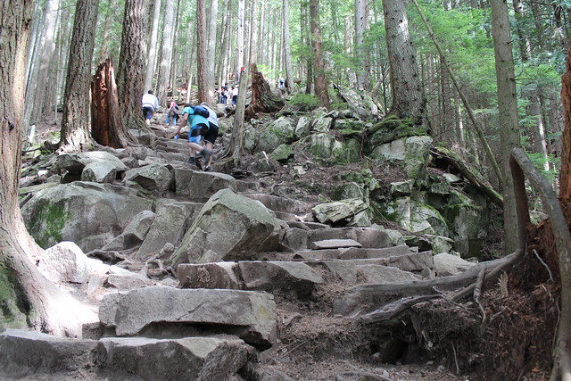
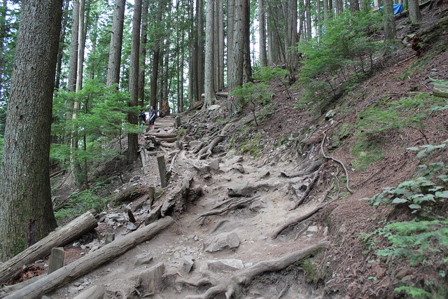
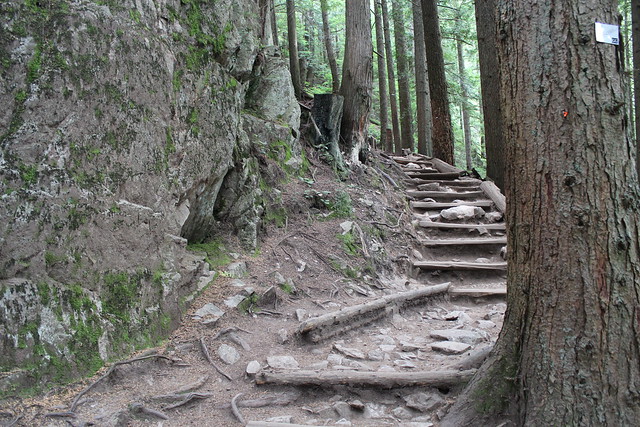
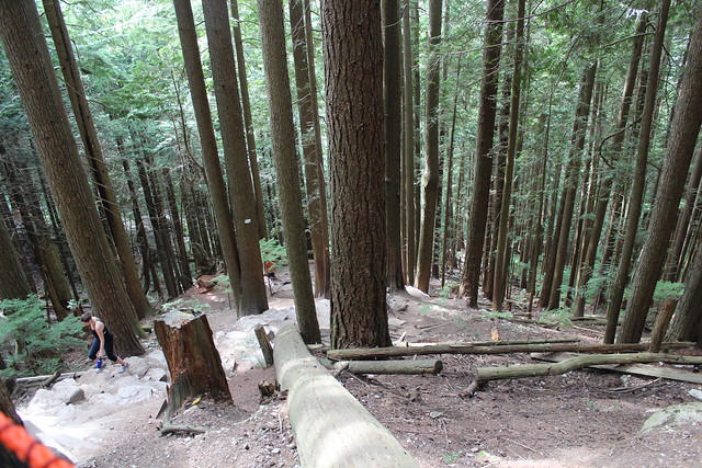
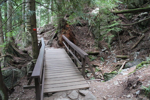
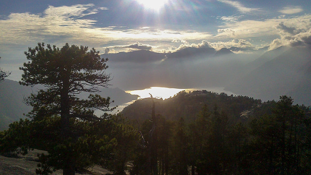
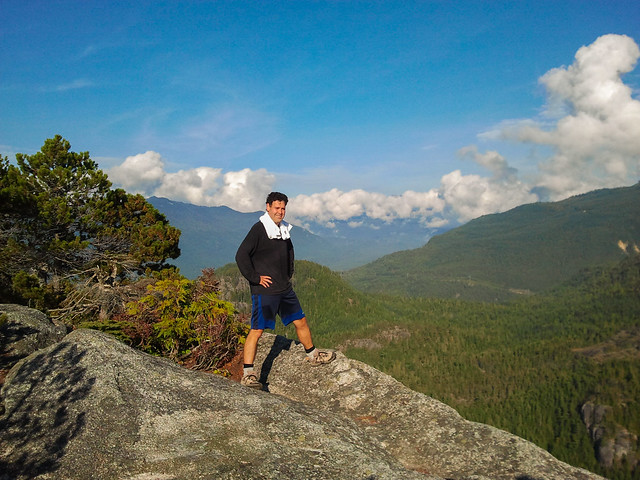
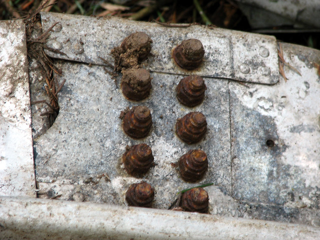
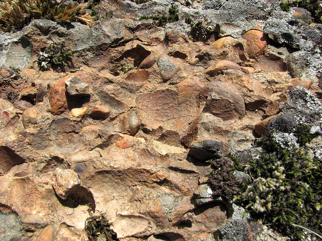
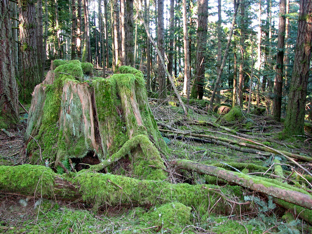
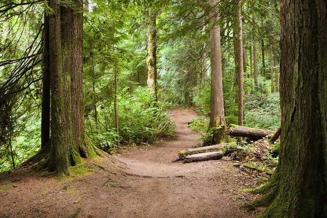
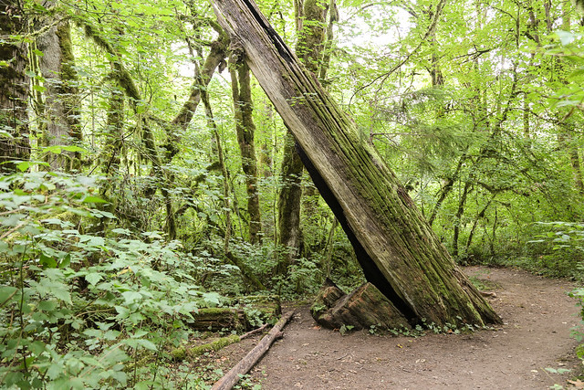
And a couple trail photos…

Coquitlam River Walk

Coquitlam River Walk

★★★★★★★★★★★

Before heading out on your hike, make sure you are well prepared. This means, having the TEN ESSENTIALS. It is also important to leave a trip plan (route details and estimated return time) with someone you trust.

Bring your smartphone, fully charged and put it in airplane mode while hiking. I always bring back-up battery packs for extra piece of mind. It is highly recommended that you bring a GPS device; I use my smartphone with a GPS app (Backcountry Navigator). The GPS will work in airplane mode. Learn how to use it before your hike.

For anyone new to hiking, there is a rule to which hikers follow; it is called “Leave No Trace” or LNT. The concept is generally to pack out what you pack in and respect nature, so all future visitors can enjoy what you have enjoyed.
To learn more about LNT, please check out this BLOG by a certified LNT Trainer.

★★★★★★★★★★★

Grouse Grind

The Grouse Grind is a pure workout with no real scenery. It’s a sweat fest and it will get your heart pumping like crazy. Apparently it’s also a tourist destination, as many people attempt it in their street shoes and pants – many turn back.

But, it’s a real achievement when you finish – Out of the general population, very few people can do this.
When I used to do it in 2013, the parking was free and the fee for the gondola was $10. Now there is a parking fee.

Time (my best): 53 min 12 sec
Record time (Sebastian Salas): 25 min 24 sec
Distance: 2.9 km (one way)
Low point: 274 m
High point: 1127 m
Elevation gain: 853 m
Number of stairs: 2830
Trailhead: 49° 22’ 16.7” by  123° 5’ 54.5” (Google Map)

The route…

Here is the start of the trail…

Grouse Grind

Some trail pictures…

Grouse Grind Trail

Grouse Grind Trail

Grouse Grind Trail

Grouse Grind Trail

Grouse Grind Trail

Grouse Grind Trail

Here is the gondola (fee) most people take on way down…

Gondola

They have two Grizzly bears at the top…

Grizzley

And a great ‘birds of prey’ show in the summer…

Fly away birdie

And if you wonder what a Grouse is, it’s a bird…

Grouse on trail

You can reward yourself with Mountain Nachos in the restaurant…

Mountain Nachos with pulled pork

★★★★★★★★★★★

Before heading out on your hike, make sure you are well prepared. This means, having the TEN ESSENTIALS. It is also important to leave a trip plan (route details and estimated return time) with someone you trust.

Bring your smartphone, fully charged and put it in airplane mode while hiking. I always bring back-up battery packs for extra piece of mind. It is highly recommended that you bring a GPS device; I use my smartphone with a GPS app (Backcountry Navigator). The GPS will work in airplane mode. Learn how to use it before your hike.

For anyone new to hiking, there is a rule to which hikers follow; it is called “Leave No Trace” or LNT. The concept is generally to pack out what you pack in and respect nature, so all future visitors can enjoy what you have enjoyed.
To learn more about LNT, please check out this BLOG by a certified LNT Trainer.

★★★★★★★★★★★

Stawamus Chief


This is another very popular hike. You can access the trailhead from the Sea to Sky Gondola area or from Shannon Falls Provincial Park. The trail starts out steep, kind of Grouse Grindish. There are 3 peaks to choose from and many people do them all, or just 2.

Distance: 4.6 km (return)
Low point: 64 m
High point: 686 m
Elevation gain: 622 m
Trailhead: 49° 40’ 45.5” by  123° 9’ 16.3” (Google Map)

Here’s the route…

A view of the Chief from Shannon Falls Provincial Park…

The Chief

Here’s a view from the top…

3rd Peak Stawamus Chief

Another view…

Stawamus chief hike

Me at the top…

3rd Peak Stawamus Chief

★★★★★★★★★★★

Before heading out on your hike, make sure you are well prepared. This means, having the TEN ESSENTIALS. It is also important to leave a trip plan (route details and estimated return time) with someone you trust.

Bring your smartphone, fully charged and put it in airplane mode while hiking. I always bring back-up battery packs for extra piece of mind. It is highly recommended that you bring a GPS device; I use my smartphone with a GPS app (Backcountry Navigator). The GPS will work in airplane mode. Learn how to use it before your hike.

For anyone new to hiking, there is a rule to which hikers follow; it is called “Leave No Trace” or LNT. The concept is generally to pack out what you pack in and respect nature, so all future visitors can enjoy what you have enjoyed.
To learn more about LNT, please check out this BLOG by a certified LNT Trainer.

★★★★★★★★★★★

Mount Galiano


The Gulf Islands of British Columbia are a magical place and I’m so glad I got to visit Galiano Island. This hike is quite easy in terms of elevation gain and the payoff scenery is well worth it !

Distance: 6.8 km (return)
Low point: 61 m
High point: 301 m
Elevation gain: 240 m
Trailhead: 48° 52’ 29” by  123° 20’ 59” (Google Map)

Here’s the route…

Here’s the view from the top…

View from the top

Here’s a view from a BC Ferry…

Mount Galiano (Medium)

On the way up I saw an old plane that had crashed on the island…

Wreckage from Plane Crash

Bolts from airplane wreckage

I saw this cool Conglomerate Rock…

Conglomerate Rock on Mount Galiano

A view of the forest from the trail…

Mount Galiano

I saw a BC Ferry from the top…

Queen of Vancouver

When I came down from Mount Galiano, I explored the coastline and it is very interesting.
You can check out more photos HERE

★★★★★★★★★★★

Before heading out on your hike, make sure you are well prepared. This means, having the TEN ESSENTIALS. It is also important to leave a trip plan (route details and estimated return time) with someone you trust.

Bring your smartphone, fully charged and put it in airplane mode while hiking. I always bring back-up battery packs for extra piece of mind. It is highly recommended that you bring a GPS device; I use my smartphone with a GPS app (Backcountry Navigator). The GPS will work in airplane mode. Learn how to use it before your hike.

For anyone new to hiking, there is a rule to which hikers follow; it is called “Leave No Trace” or LNT. The concept is generally to pack out what you pack in and respect nature, so all future visitors can enjoy what you have enjoyed.
To learn more about LNT, please check out this BLOG by a certified LNT Trainer.

★★★★★★★★★★★