Category Archives: Non-Buntzen Lake Hikes

Crater Rim Trail


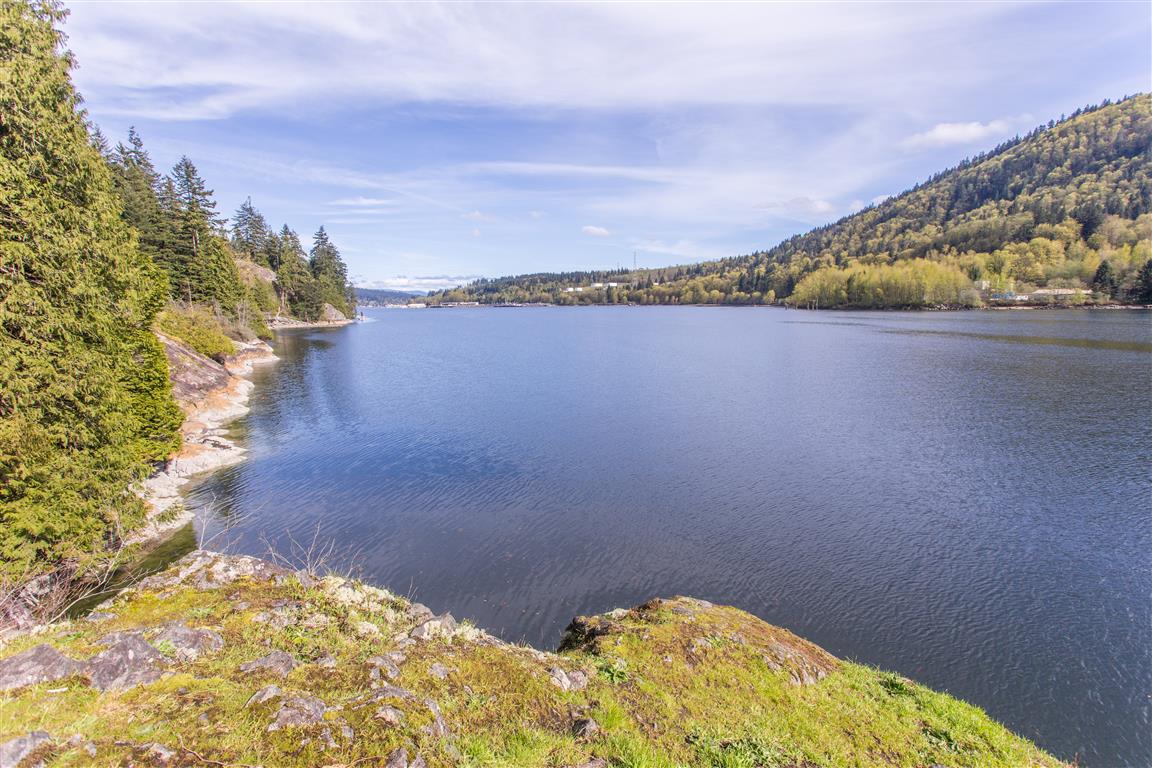
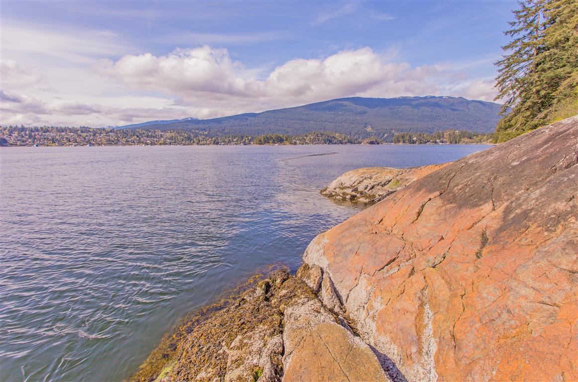
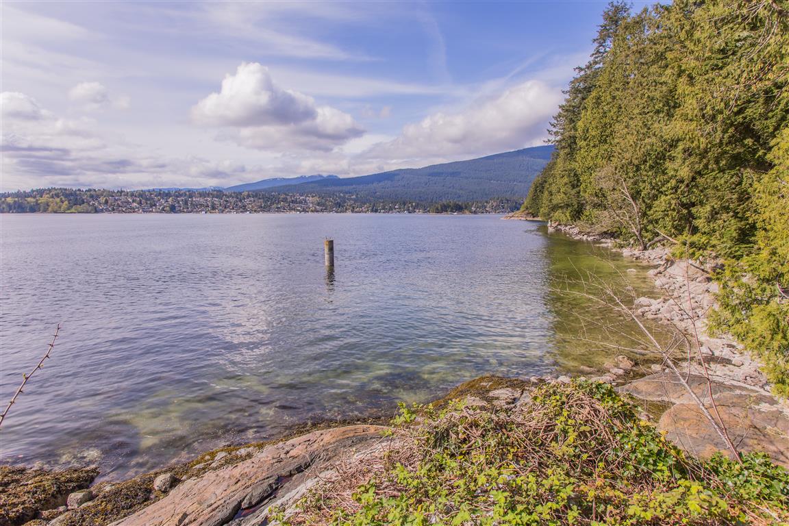
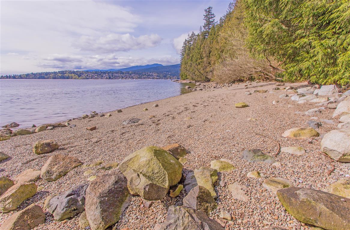
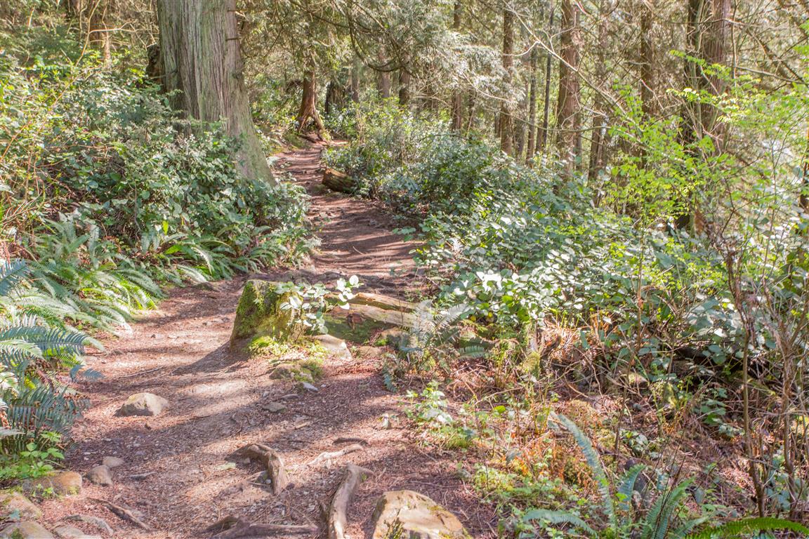
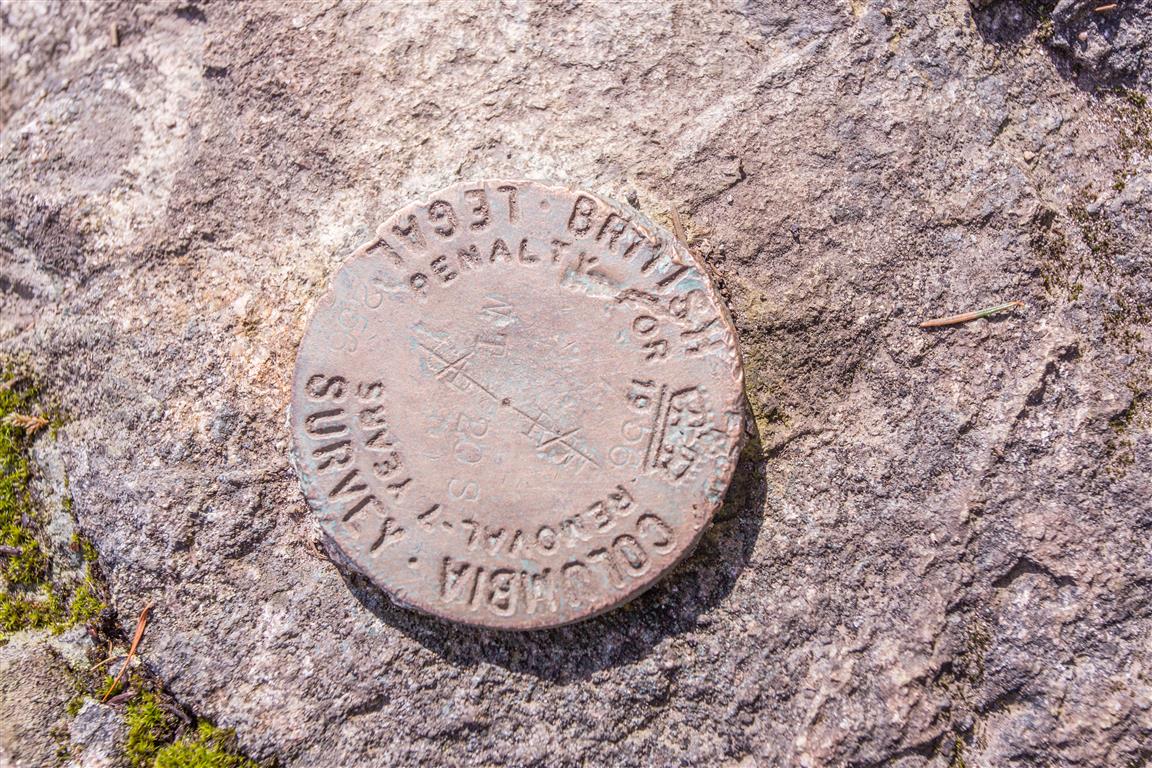
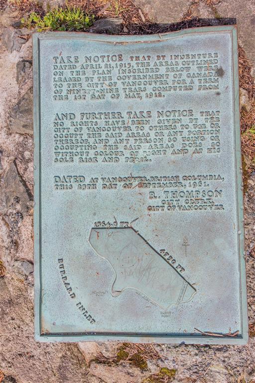
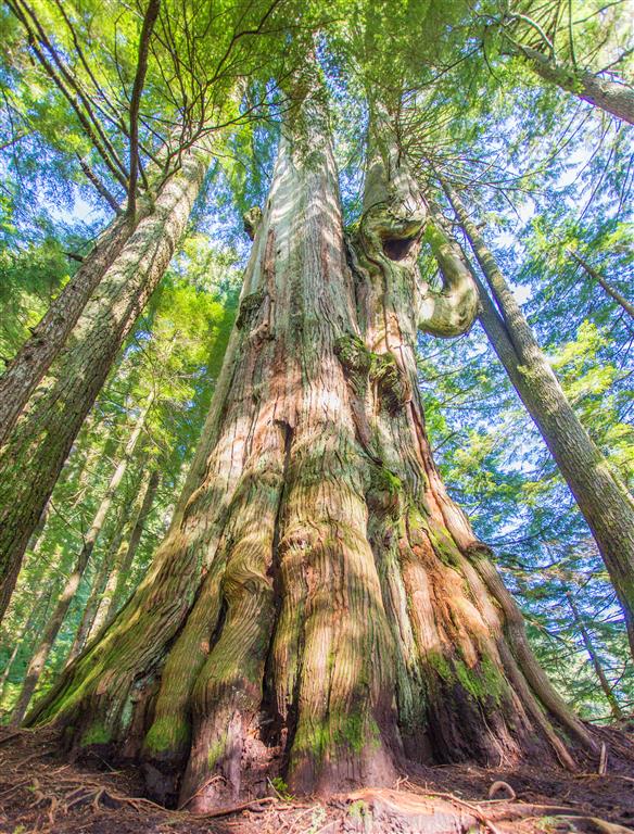
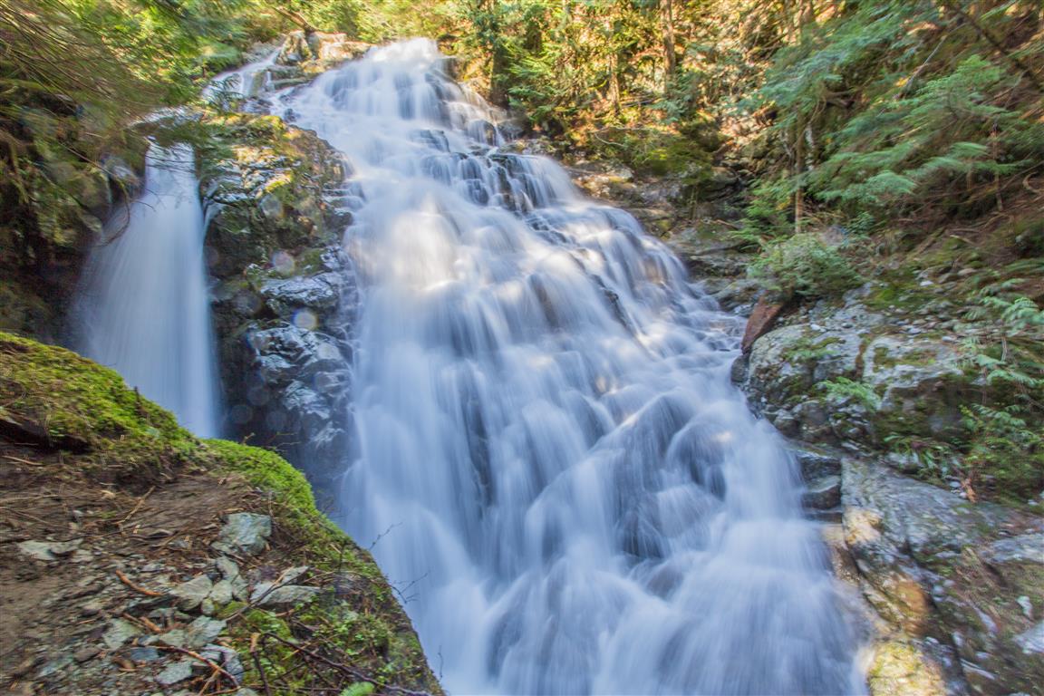
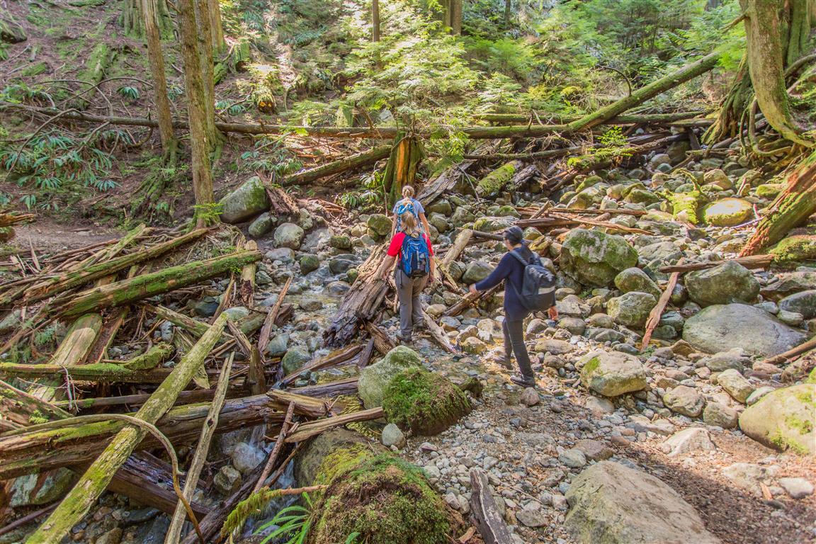
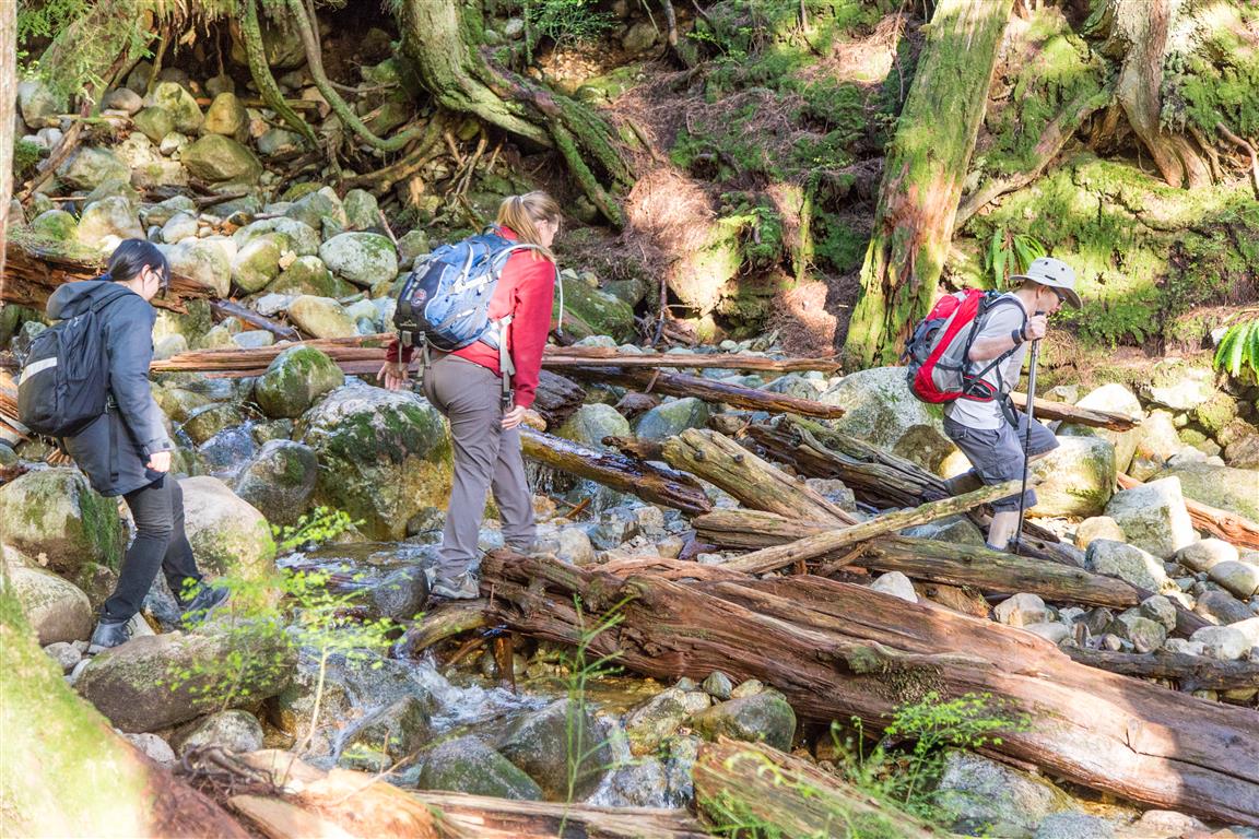
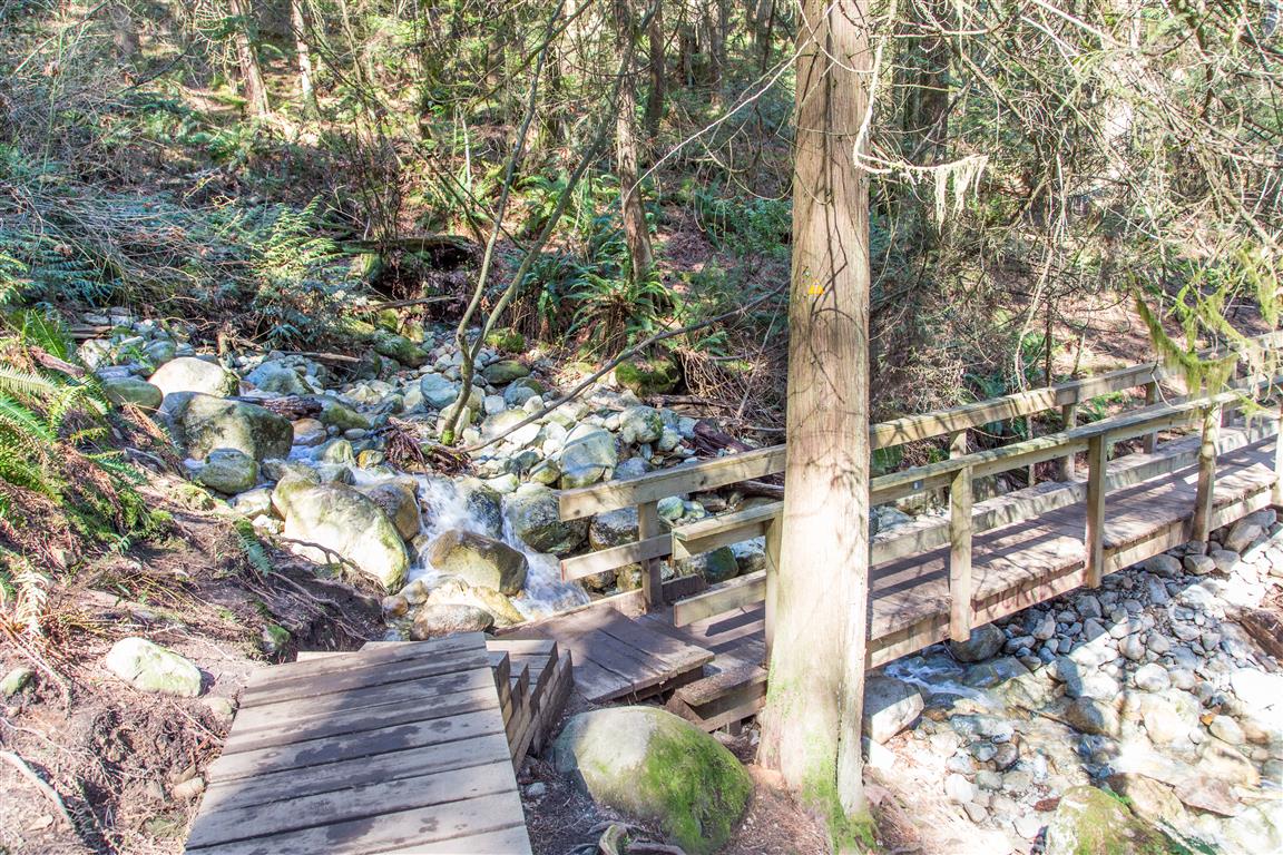
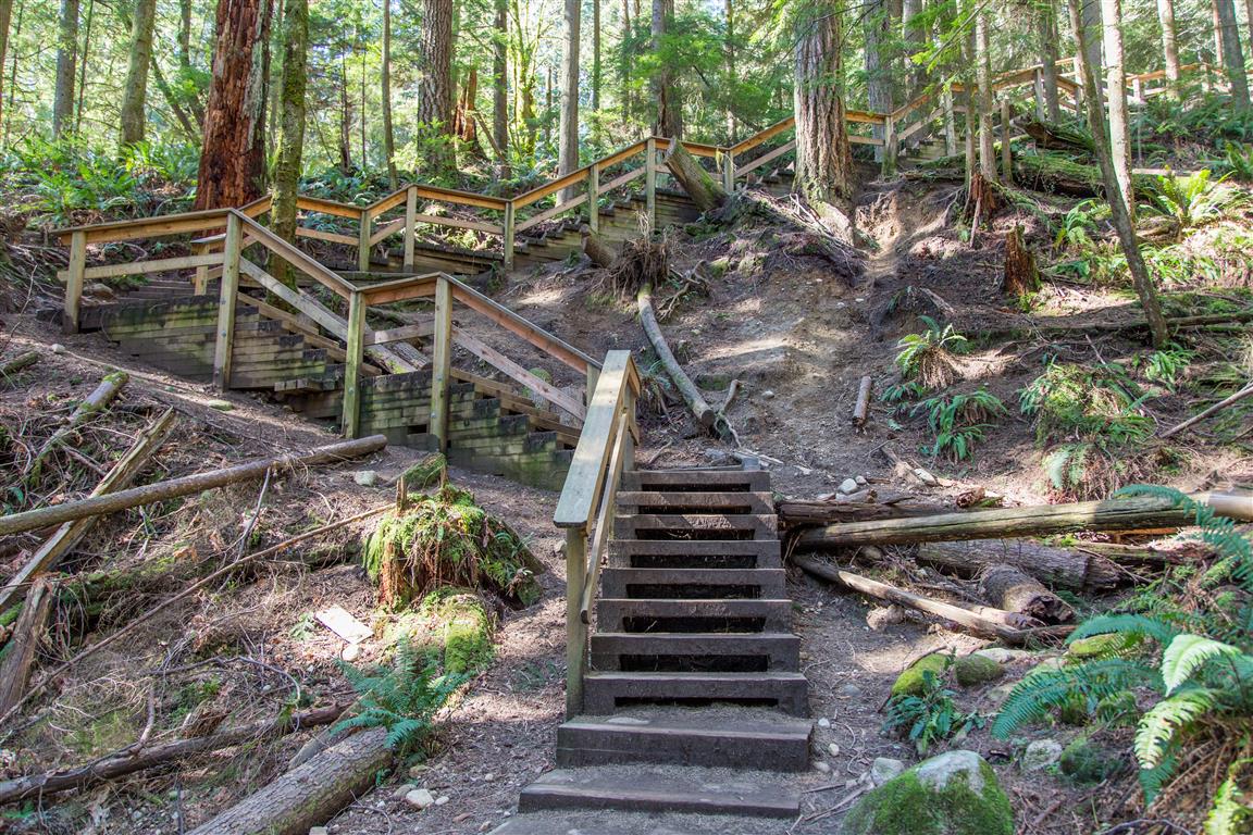
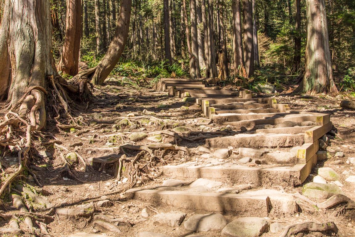
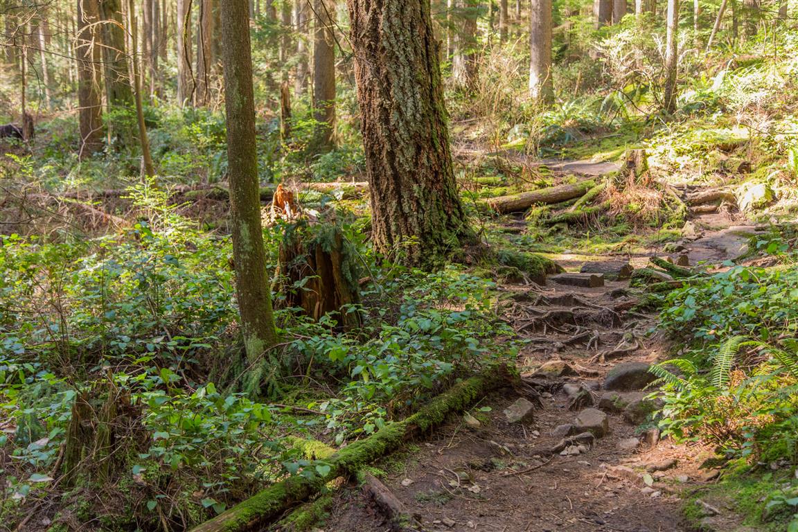
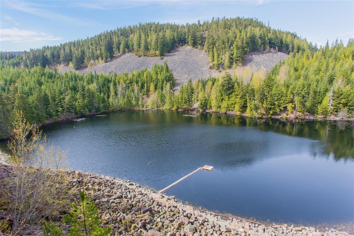
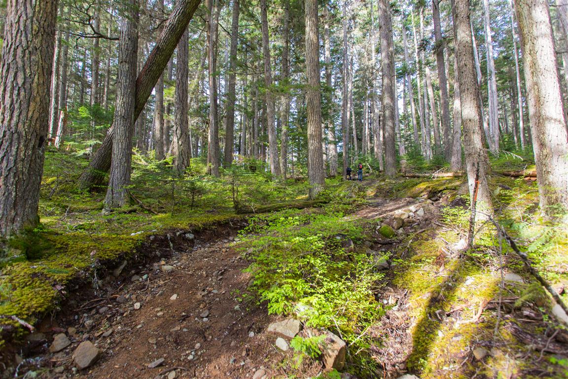
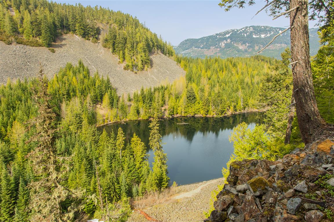
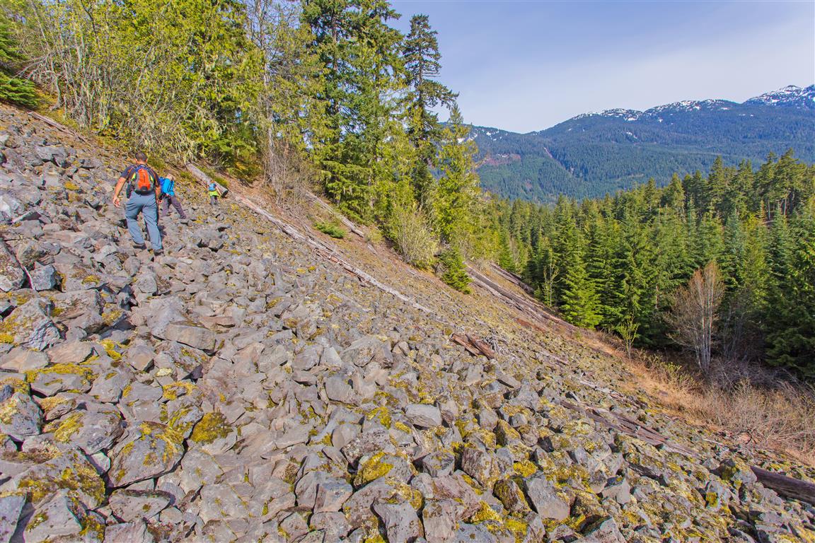
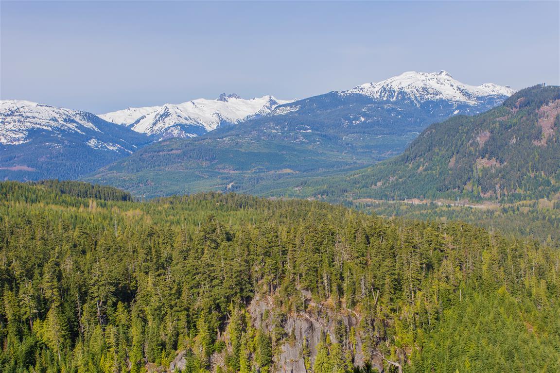
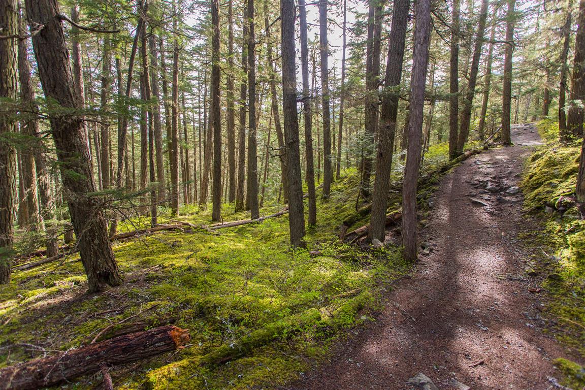
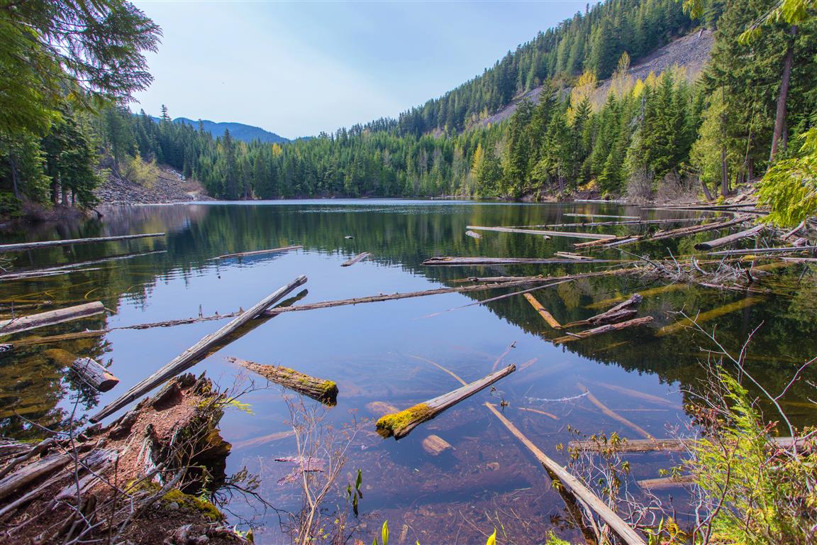
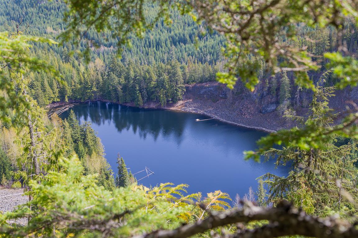
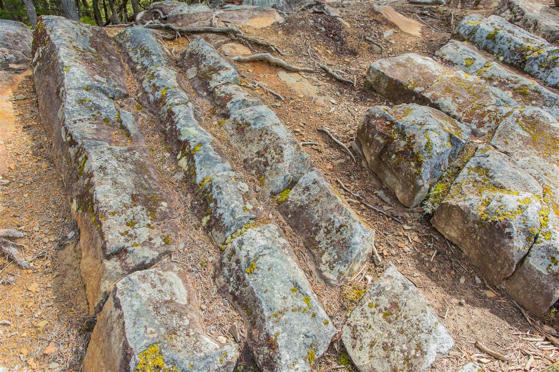
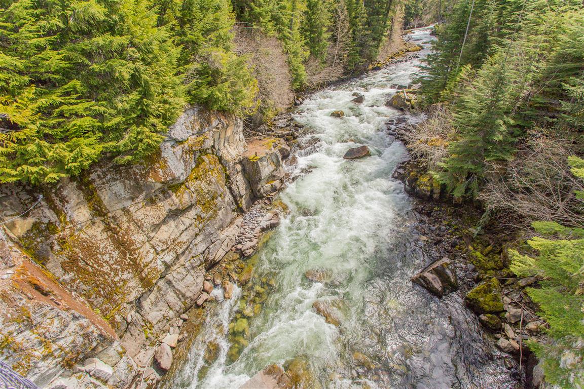
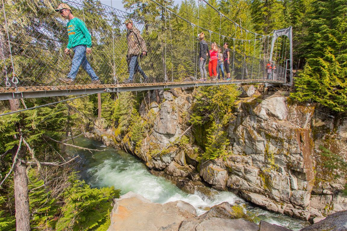
Before heading out to this place, I never knew a Whistler had its own crater lake ! It’s pretty cool to explore these new trails and learn new stuff ! The Crater Rim Trail is in Whistler Interpretive Forest and the trailhead is on the opposite side of the highway from Function Junction. The lake is named Logger’s Lake. The trail takes you through a boulder field and up to the crater rim and along the ridge. Eventually the trail makes its way down towards the lake. There are a number of viewpoints along the way.

The stats:

Distance: 11.2 km
Time: 4 hours
Low point: 611 m
High point: 925 m
Elevation gain: 314 m
Cumulative Elevation gain: 438 m
Trailhead: 50° 05’ 11.3” by  123° 02’ 9.8” (Google Map)

The route…

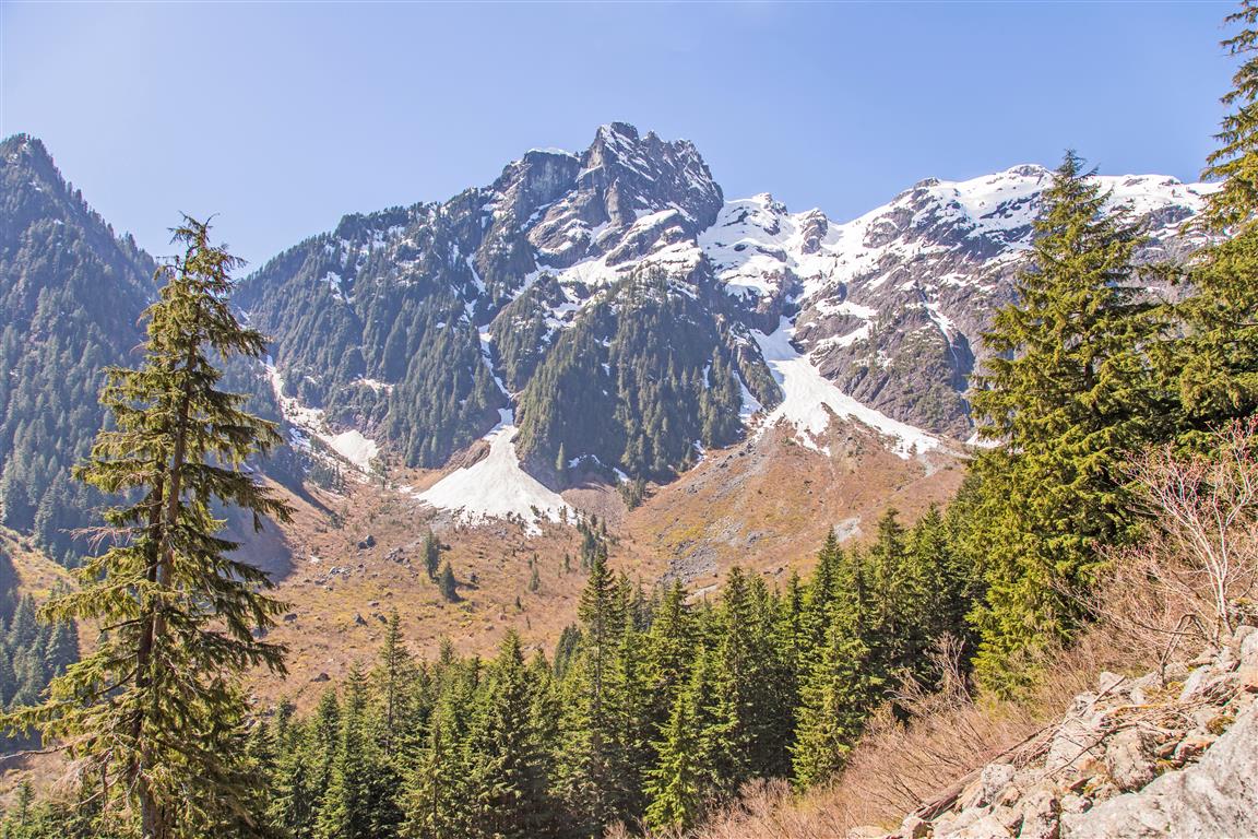
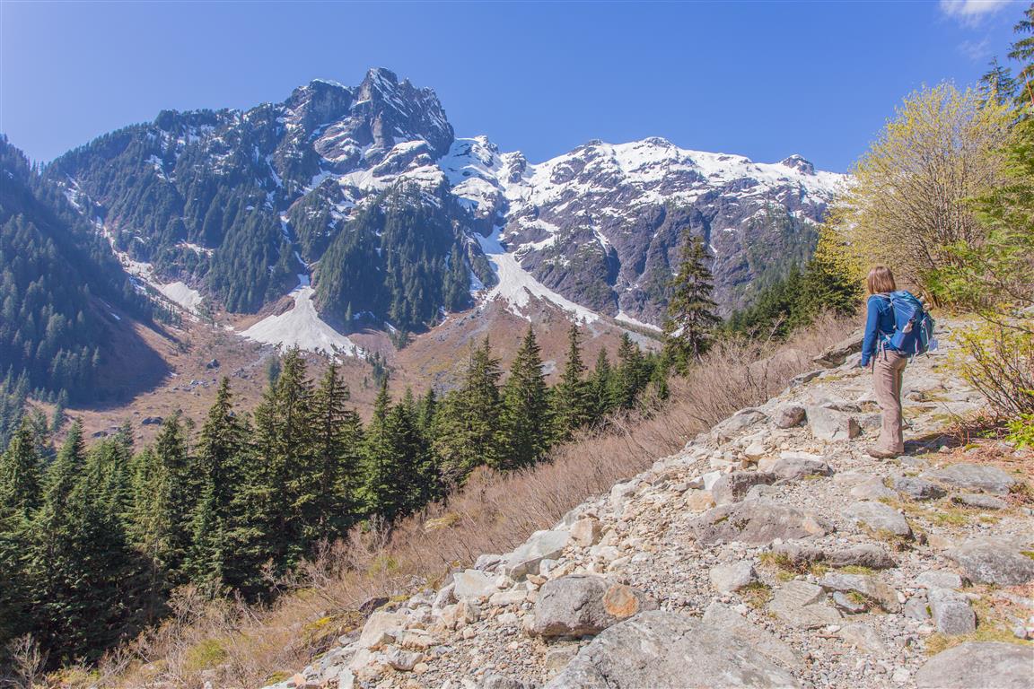
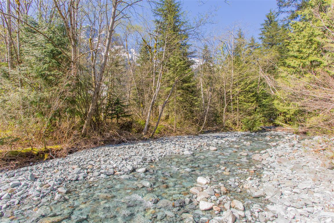
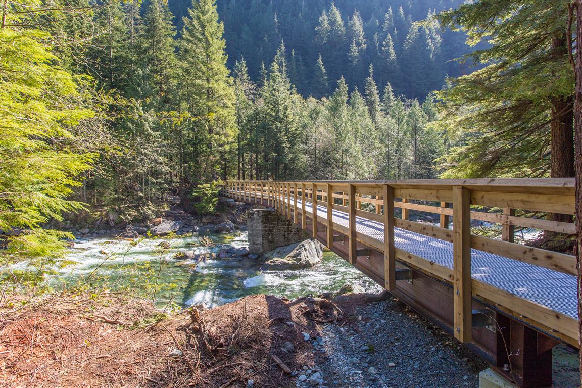
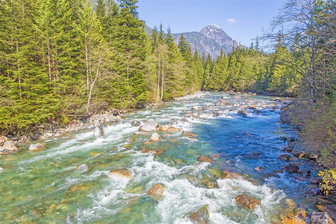
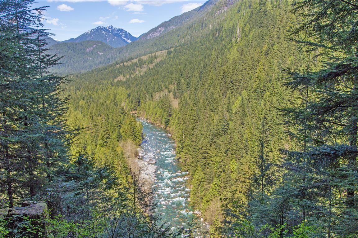
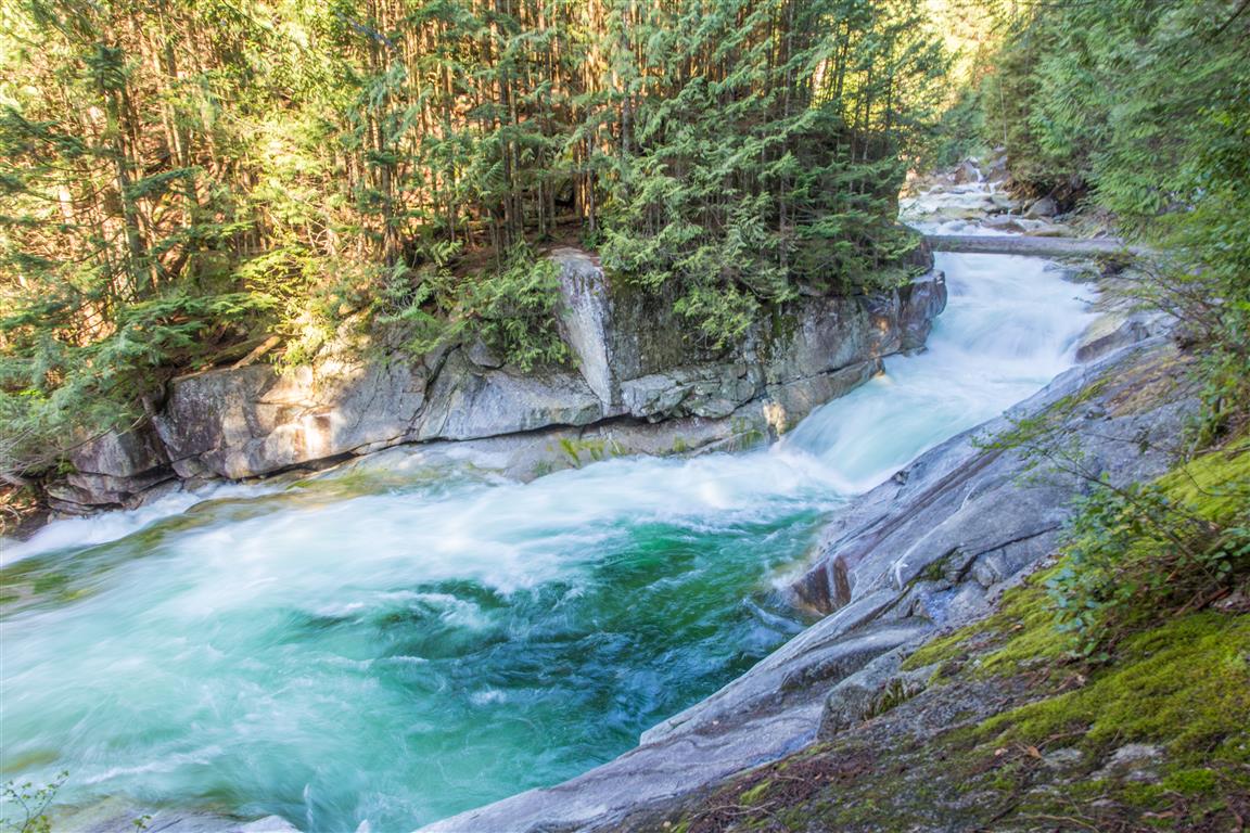
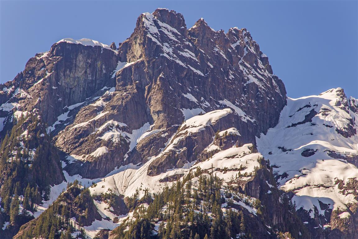
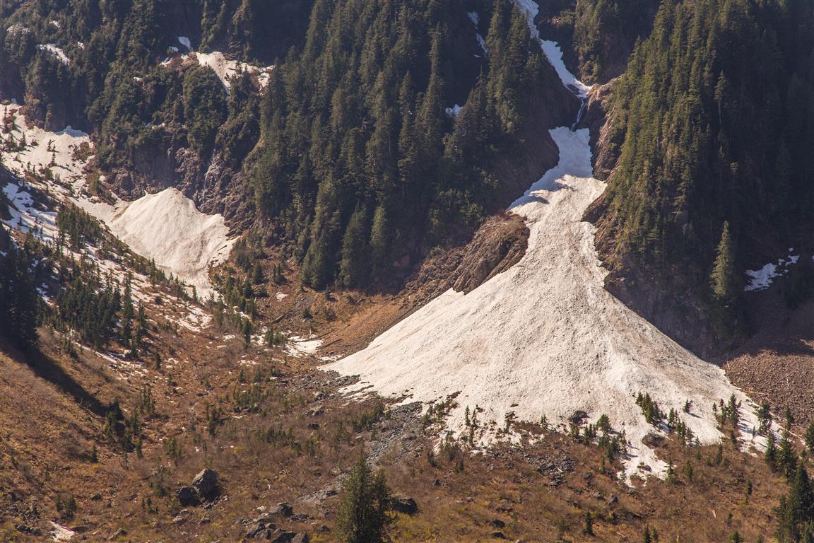
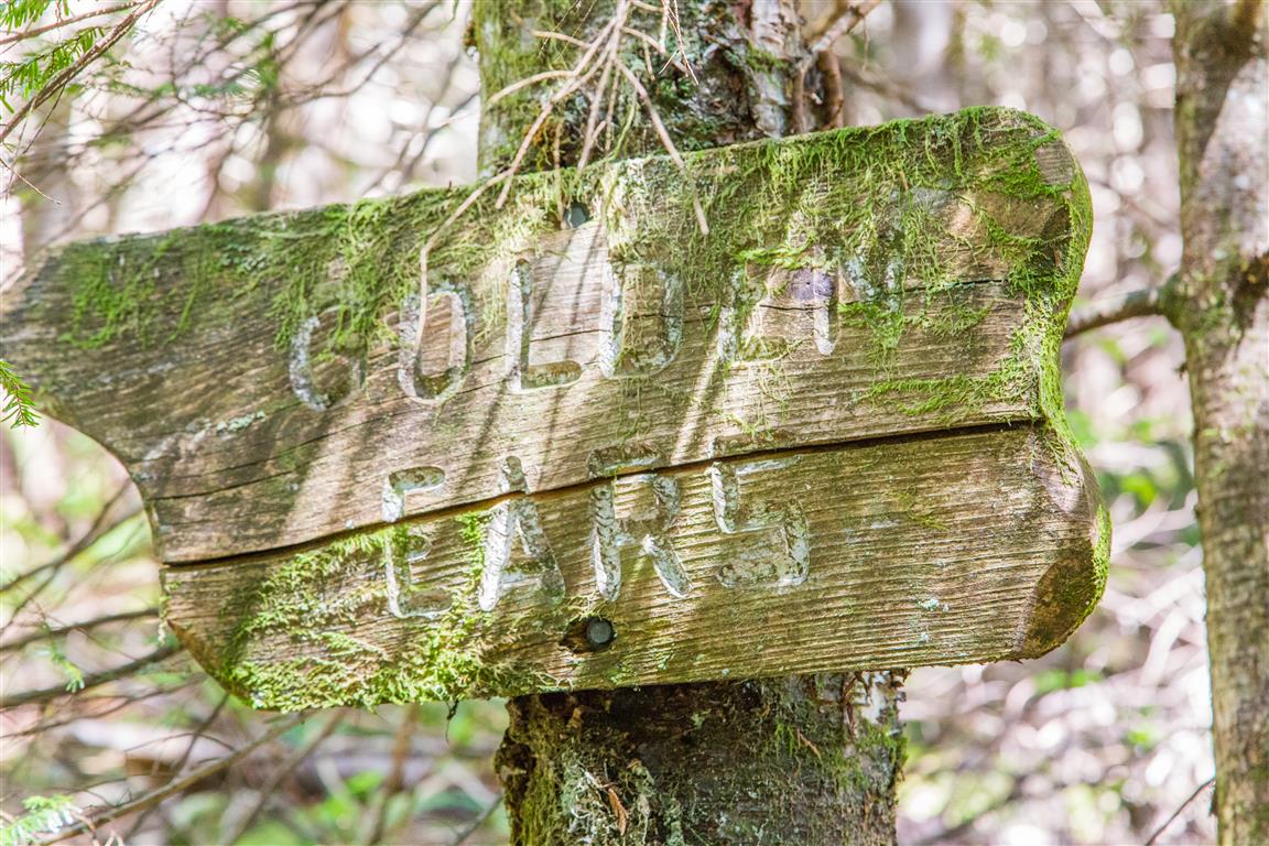
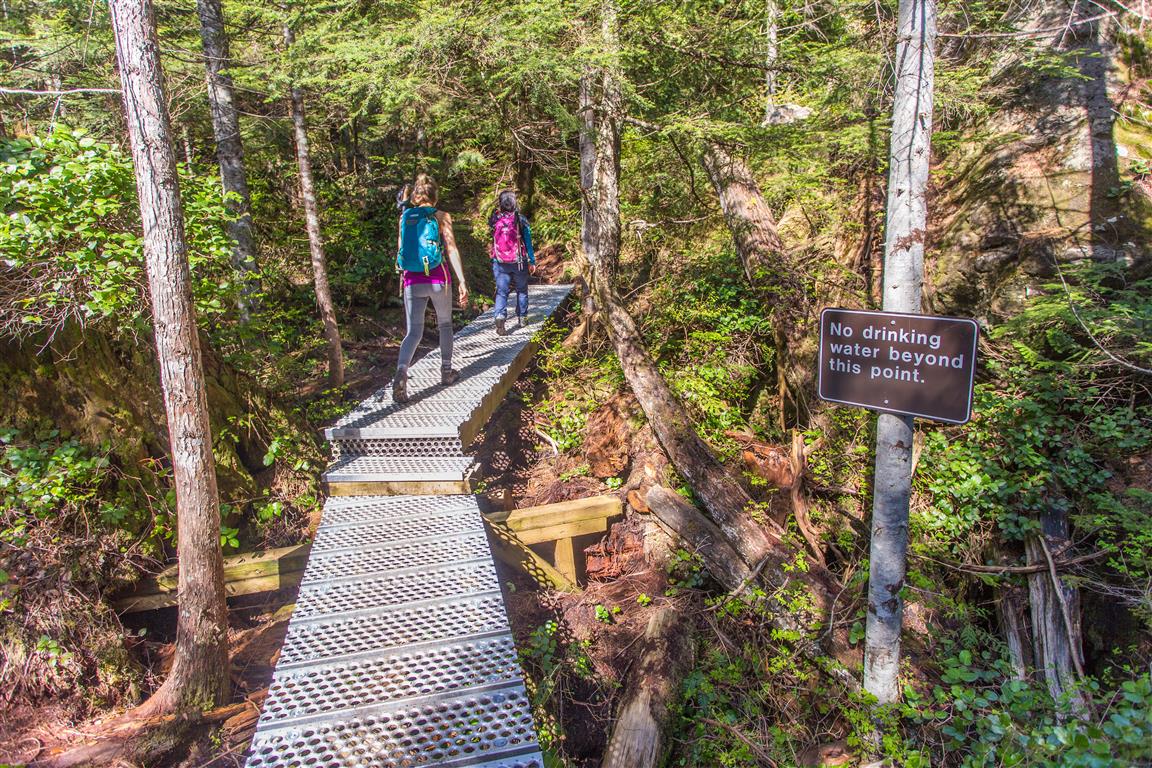
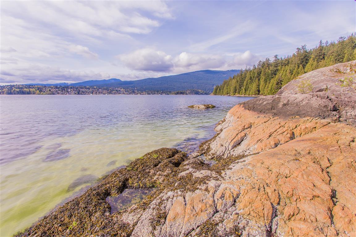
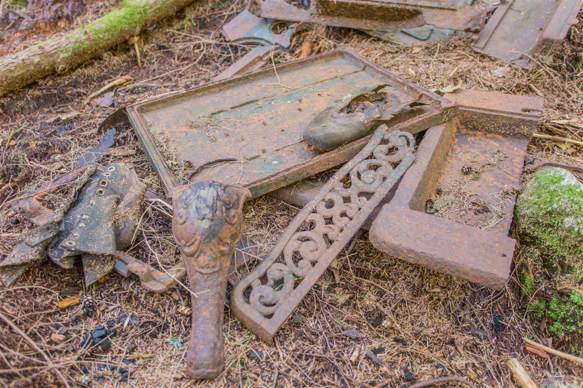
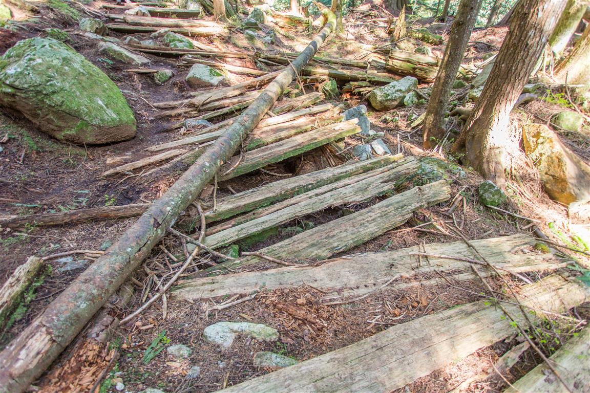
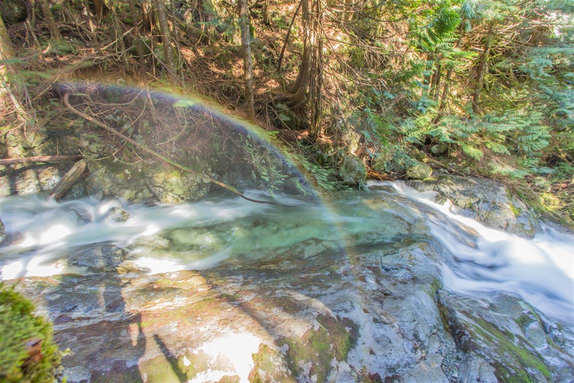
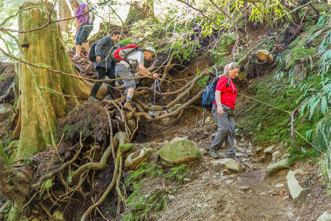
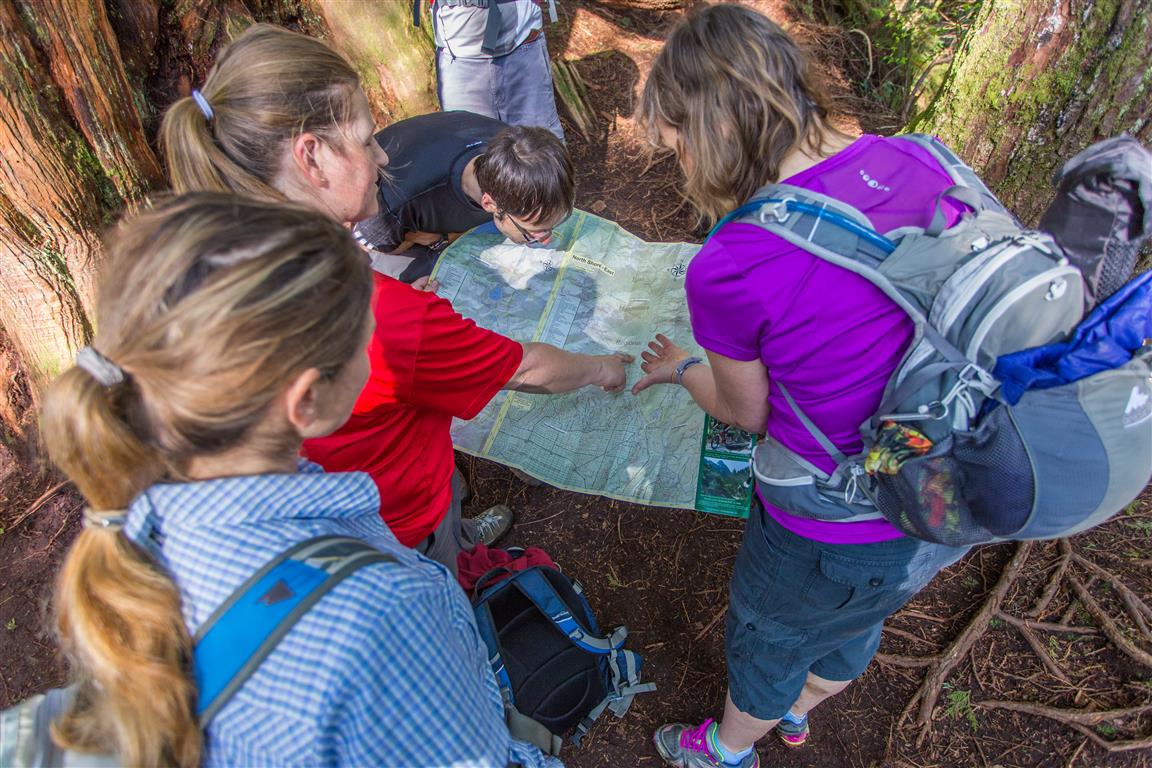
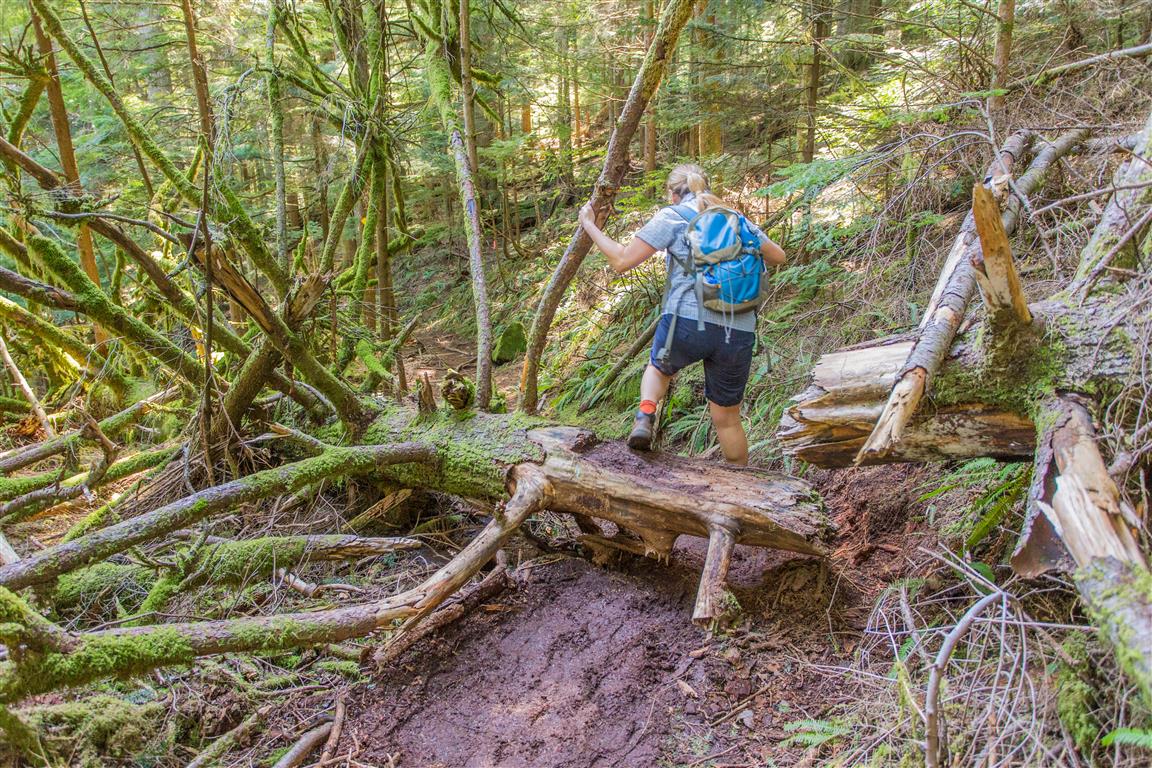
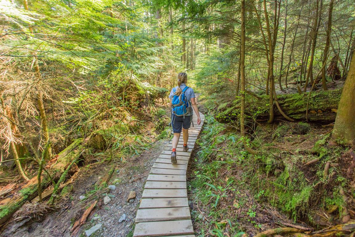
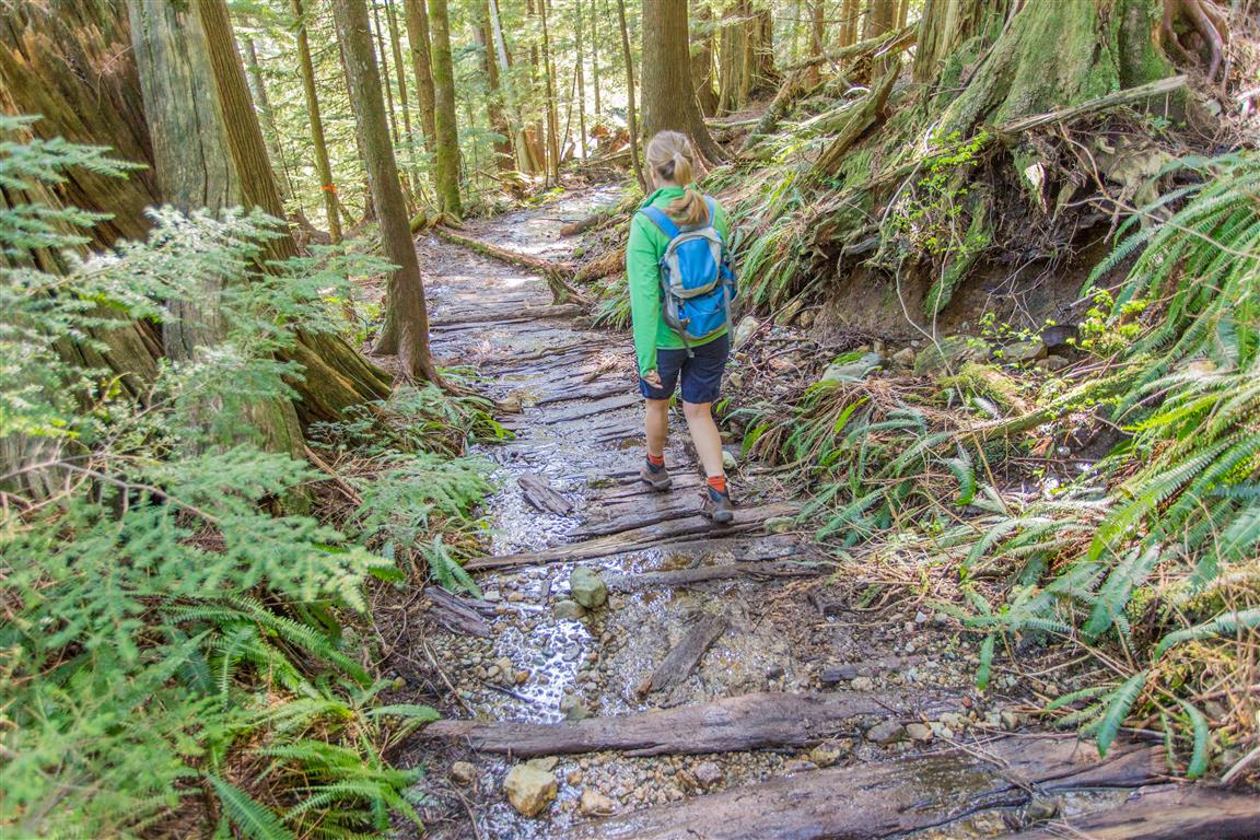
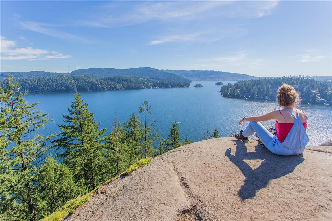
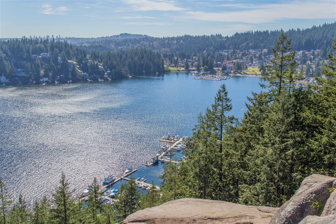
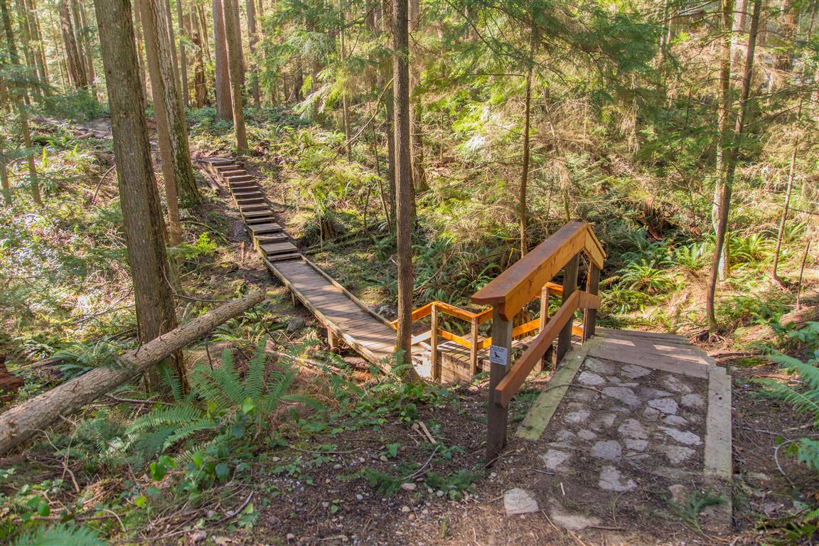
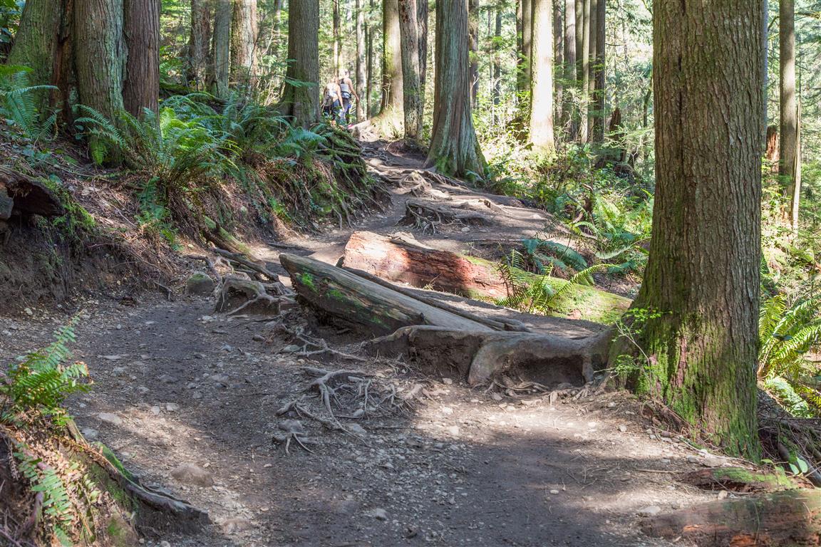
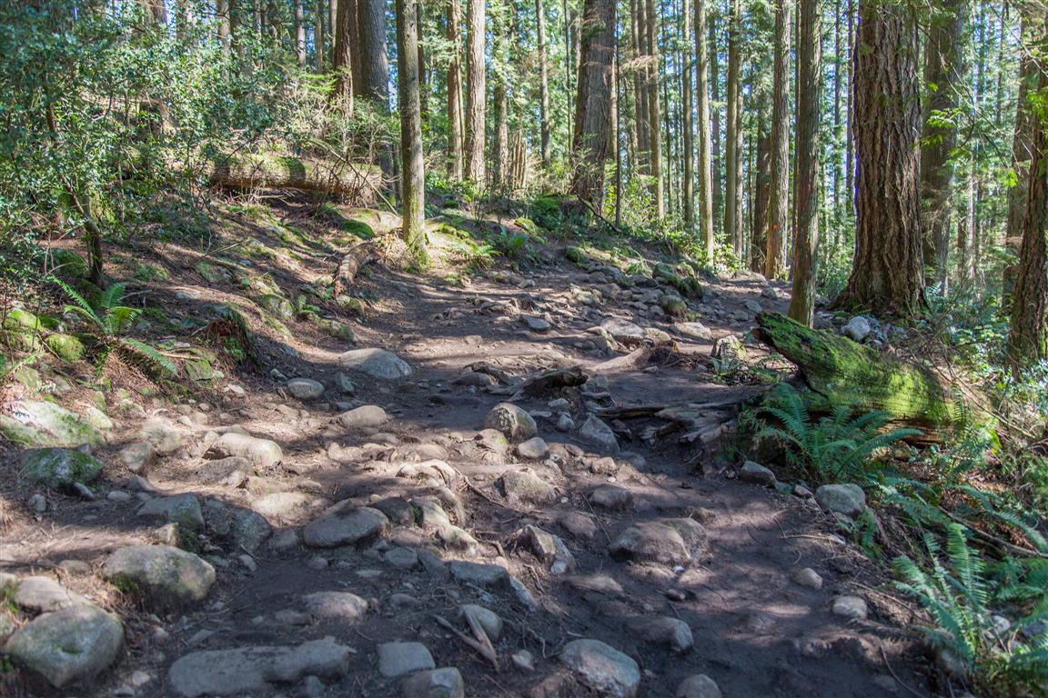
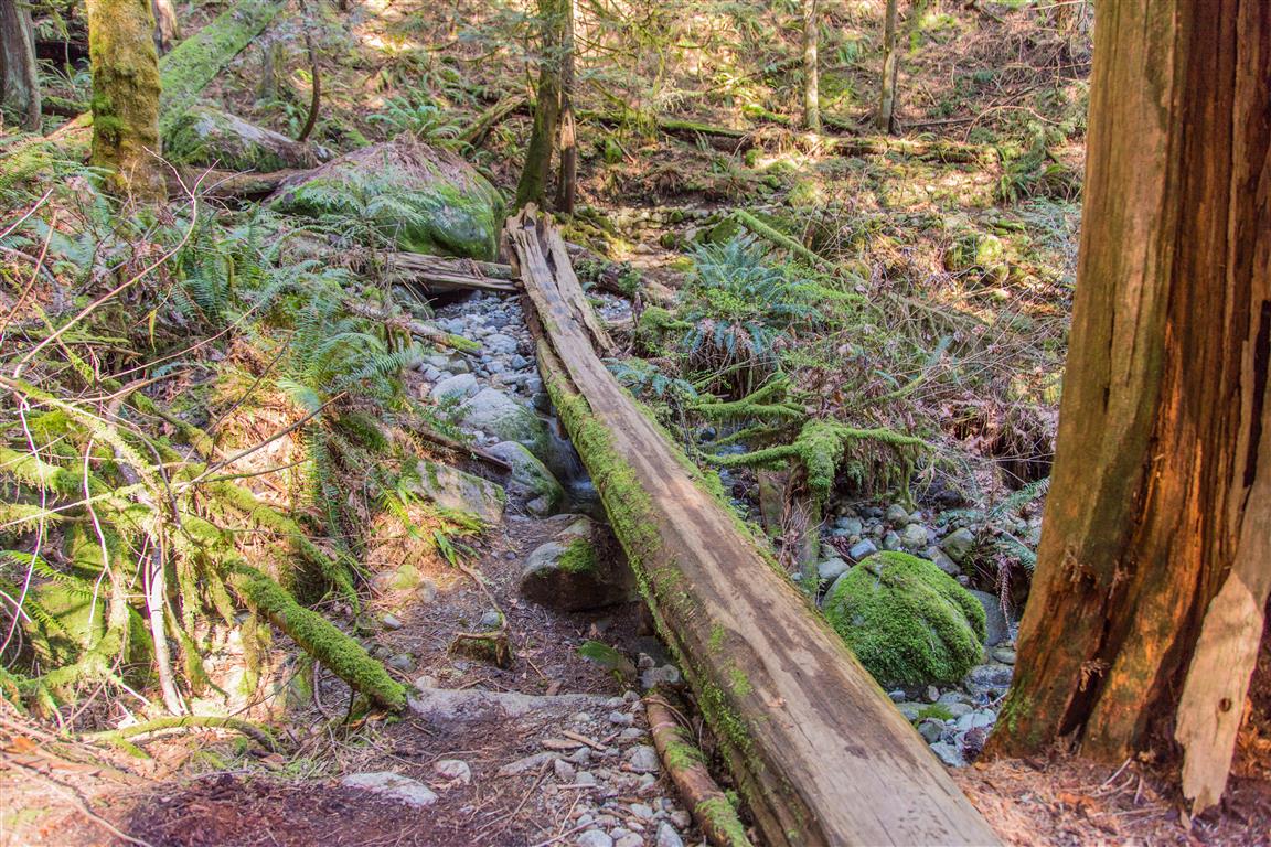
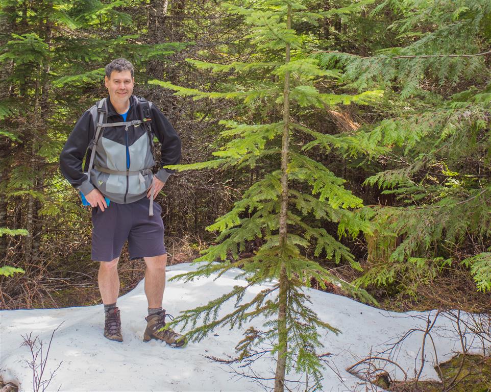
Here are some photos…

Logger's Lake
Logger’s Lake
Trail pic
Trail pic
Logger's Lake 3
Logger’s Lake


Boulder Field
Boulder Field
View
View
Trail pic (2)
Trail pic


Logger's Lake Area Trails
Logger’s Lake Area Trails
Logger's Lake 2
Logger’s Lake
First view of Logger's Lake
First view of Logger’s Lake


Columnar Basalt
Columnar Basalt
Cheakamus River
Cheakamus River
Cheakamus River Suspension Bridge
Still some snow around
Flowering pine
Flowering pine

★★★★★★★★★★★

Before heading out on your hike, make sure you are well prepared. This means, having the TEN ESSENTIALS. It is also important to leave a trip plan (route details and estimated return time) with someone you trust.

Bring your smartphone, fully charged and put it in airplane mode while hiking. I always bring back-up battery packs for extra piece of mind. It is highly recommended that you bring a GPS device; I use my smartphone with a GPS app (Backcountry Navigator). The GPS will work in airplane mode. Learn how to use it before your hike.

For anyone new to hiking, there is a rule to which hikers follow; it is called “Leave No Trace” or LNT. The concept is generally to pack out what you pack in and respect nature, so all future visitors can enjoy what you have enjoyed.
To learn more about LNT, please check out this BLOG by a certified LNT Trainer.

★★★★★★★★★★★

Alder Flats


Alder Flats at Golden Ears Provincial Park is known as a resting stop prior to ascending Golden Ears peak. The views just above Alder Flats are amazing. This hike ends at a clearing about 100 m over the Alder Flats campsite. The clearing allows for amazing views of Golden Ears. This is one a many great hikes in Golden Ears Provincial Park. With the addition of the new bridge over Gold Creek, it is possible to do this hike in a loop, which is what we did today. We left cars at both East and West Canyon trailheads. We started up the Lower Falls trail (which parallels the East Canyon Trail), we then headed through a rugged trail, which is sparsely marked, but then made it up to East Canyon Trail. Shortly thereafter, we crossed the new bridge and started making some elevation gain. About an hour later we were at Alder Flats. The viewpoint above Alder Flats is a short hike a little further up.

The stats:

Distance: 13.4 km
Time: 5 hours (including rests)
Low point: 151 m
High point: 585 m
Elevation gain: 543 m
Cumulative Elevation gain: 875 m
East Canyon Trailhead: 49° 20’ 0” by  122° 27’ 26.5” (Google Map)
West Canyon Trailhead: 49° 19’ 38.5” by  122° 27’ 46” (Google Map)

The route…

The photos…

Golden Ears Peak from viewpoint over Alder Flats…
Golden Ears Peak

Viewpoint over Alder Flats…
IMG_4200

Creek at Alder Flats…
Creek at Alder Flats


Gold Creek Bridge…
Gold Creek bridge

Gold Creek from the bridgeGold Creek from the bridge

Gold Creek Viewpoint on West Canyon Trail…
Gold Creek viewpoint

Gold Creek…
Gold Creek


Golden Ears up close…
IMG_4211ps

Snowfields…
IMG_4231

An old sign…
Old sign

There are many small bridges…
Small bridge

★★★★★★★★★★★

Before heading out on your hike, make sure you are well prepared. This means, having the TEN ESSENTIALS. It is also important to leave a trip plan (route details and estimated return time) with someone you trust.

Bring your smartphone, fully charged and put it in airplane mode while hiking. I always bring back-up battery packs for extra piece of mind. It is highly recommended that you bring a GPS device; I use my smartphone with a GPS app (Backcountry Navigator). The GPS will work in airplane mode. Learn how to use it before your hike.

For anyone new to hiking, there is a rule to which hikers follow; it is called “Leave No Trace” or LNT. The concept is generally to pack out what you pack in and respect nature, so all future visitors can enjoy what you have enjoyed.
To learn more about LNT, please check out this BLOG by a certified LNT Trainer.

★★★★★★★★★★★

Admiralty Point


The trail to Admiralty Point is accessed from the Belcarra Picnic area in Belcarra Regional Park. Admiralty Point Trail is in an adjoining park, named Admiralty Point Park.
This park became a National Park in 2014. Let me explain…

The federal government originally signed a 99-year lease with the City of Vancouver back in 1912 to keep the lands for park purposes. The lands were then handed over to the Greater Vancouver Regional District — now Metro Vancouver — but the lease ran out in 2011.

The Federal Government choose not to renew the lease and to make the area a public park and stay in Parks Canada’s inventory – Voila ! A National Park !!
The park remains administered by Metro Vancouver.

Annual funding from the federal government goes toward general maintenance of the park for items such as trail maintenance, fire prevention and garbage collection. The lands also play a part in Port Moody’s history. Col. R.C. Moody, for whom the city of Port Moody is named, established the Admiralty Point Military Reserve there in 1860.

The trail winds around the shoreline, offering many spectacular views along the way.

The stats to the end (Burns Point) and back…

Distance: 6 km
Time: 2 hours (with breaks and exploring)
Low point: 2 m
High point: 33 m
Elevation gain: 31 m
Parking: 49° 18’ 44.2” by 122° 55’ 31.4” (Click for Google Map and Navigation)
Trailhead: 49° 18’ 42.8” by  122° 55’ 32” (Click for Google Map and Navigation)

*tip for mobile users – long press the “Google Map and Navigation” for the option to open in the maps app.

The route (with downloadable .gpx)…

Here are some pictures from the hike…

Admiralty Point view
View from Burns Point
View from Cod Rock
View from Cod Rock

Shoreline view
Shoreline view
Maple Beach
Maple Beach
Trail picture
Trail picture

Anchor in rock
Anchor in rock
Shells at Admiralty Point

Paddleboarder
Paddleboarder
Periwinkle
Periwinkle
Survey Monument at Burns Point
Plaque at Admiralty Point

★★★★★★★★★★★

Before heading out on your hike, make sure you are well prepared. This means, having the TEN ESSENTIALS. It is also important to leave a trip plan (route details and estimated return time) with someone you trust.

Bring your smartphone, fully charged and put it in airplane mode while hiking. I always bring back-up battery packs for extra piece of mind. It is highly recommended that you bring a GPS device; I use my smartphone with a GPS app (Backcountry Navigator). The GPS will work in airplane mode. Learn how to use it before your hike.

For anyone new to hiking, there is a rule to which hikers follow; it is called “Leave No Trace” or LNT. The concept is generally to pack out what you pack in and respect nature, so all future visitors can enjoy what you have enjoyed.
To learn more about LNT, please check out this BLOG by a certified LNT Trainer.

★★★★★★★★★★★

Big Cedar Trail and Kennedy Falls


This is a great trail with two points of interest. First, is the big cedar tree, which has been estimated at over 600 years old; the second is Kennedy Falls. Don’t let the length and elevation gain of 170 m fool you for this hike. There are many ups and downs on this trail making the cumulative elevation gain 750 m. The length of the trail is 5 km, so the return total is 10 km. The trail traverses the west slope of Lynn Valley and you will find the big cedar tree 3.3 km from the start; also of note – the big cedar tree is less than 100 m from Lynn Creek. The cedar tree is massive and the only reason I think why it was spared from the saw in the early 1900s, when the whole area was logged, is that there was no saw large enough ! The end of the trail marks Kennedy Falls, which is spectacular and fills the air with wind, mist and rainbows. There is a new parking lot at the trailhead on Mountain Highway, which fills up fast, so get there early. This is a very popular mountain biking area.

The stats:

Distance: 10 km (return)
Time: 5 hours (many breaks)
Low point: 300 m
High point: 470 m
Elevation gain: 170 m
Cumulative Elevation gain: 750 m
Trailhead: 49° 21’ 31” by  123° 2’ 7.5” (Google Map)

The route…

Here are some photos from today
My complete photo set can be seen on Flickr

Here is the Big Cedar Tree…
Big Cedar Tree

Kennedy Falls…
Kennedy Falls


Crossing creeks…
Crossing a creek 2

Crossing a creek

Relics of the forestry era…
Forest ers relics


Old wooden boardwalk planks…
Old wooden boardwalk planks

Rainbow…
Rainbow

Roots for steps…
Roots for steps

There we are !…
There we are !


Trail pics…
Trail 2

Trail 3

Trail

★★★★★★★★★★★

Before heading out on your hike, make sure you are well prepared. This means, having the TEN ESSENTIALS. It is also important to leave a trip plan (route details and estimated return time) with someone you trust.

Bring your smartphone, fully charged and put it in airplane mode while hiking. I always bring back-up battery packs for extra piece of mind. It is highly recommended that you bring a GPS device; I use my smartphone with a GPS app (Backcountry Navigator). The GPS will work in airplane mode. Learn how to use it before your hike.

For anyone new to hiking, there is a rule to which hikers follow; it is called “Leave No Trace” or LNT. The concept is generally to pack out what you pack in and respect nature, so all future visitors can enjoy what you have enjoyed.
To learn more about LNT, please check out this BLOG by a certified LNT Trainer.

★★★★★★★★★★★

Quarry Rock


Quarry Rock hike is a very popular hike in North Vancouver. It is relatively easy for regular hikers and you will see many people on the trail, including families and runners. The trail starts just off Panorama Drive in Deep Cove, North Vancouver; and it traverses through Cove Forest. There are many steps, boardwalks and bridges, which make the trail family-friendly. On my route today, I took the regular trail to the viewpoint at Quarry Rock, but then on my return, I took a trail north to Indian River Drive, where it then turns west. Most people will follow the same path back and that is just fine. The trail I took on my return is not very busy and less marked.
Overall, this is a great little hike, especially for families. The parking and crowds would be the only problems I see with this hike.

Here are the stats for the loop (which I took) and the back and forth on the same trail route…

Same Trail Return / Loop
Distance: 4 km / 5km
Low point: 9 m
High point: 130 m / 222 m
Elevation gain: 121 m / 213 m
Cumulative Elevation gain: 325 m / 411 m
Trailhead: 49° 19’ 48.4” by  123° 56’ 59.4” (Google Map)

Here is the loop route…

Here are some photos from the viewpoint…

IMG_3584

IMG_3581

IMG_3599


Bridge and Boardwalk…
Bridge and boardwalk

Bridge over creek…
Bridge over creek

Stairs…
Stairs


Steps on TrailStep on trail

Trail pics…
Trail 2

Trail 3


Trail pic

Trail

Tree to walk across

★★★★★★★★★★★

Before heading out on your hike, make sure you are well prepared. This means, having the TEN ESSENTIALS. It is also important to leave a trip plan (route details and estimated return time) with someone you trust.

Bring your smartphone, fully charged and put it in airplane mode while hiking. I always bring back-up battery packs for extra piece of mind. It is highly recommended that you bring a GPS device; I use my smartphone with a GPS app (Backcountry Navigator). The GPS will work in airplane mode. Learn how to use it before your hike.

For anyone new to hiking, there is a rule to which hikers follow; it is called “Leave No Trace” or LNT. The concept is generally to pack out what you pack in and respect nature, so all future visitors can enjoy what you have enjoyed.
To learn more about LNT, please check out this BLOG by a certified LNT Trainer.

★★★★★★★★★★★